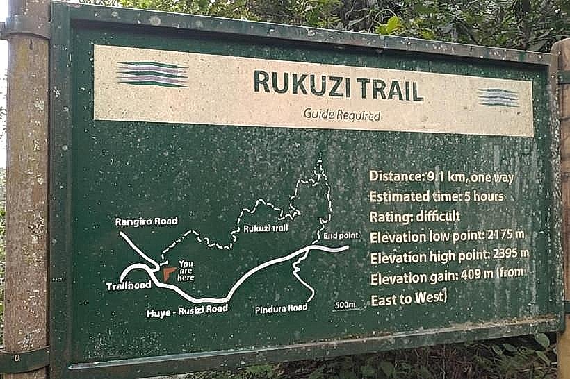
Landmark: Rukuzi Trail
City: Nyamasheke
Country: Rwanda
Continent: Africa
Rukuzi Trail, Nyamasheke, Rwanda, Africa
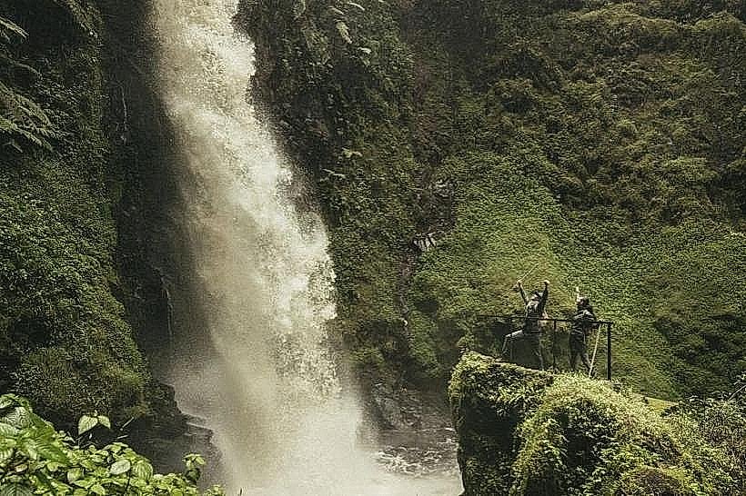
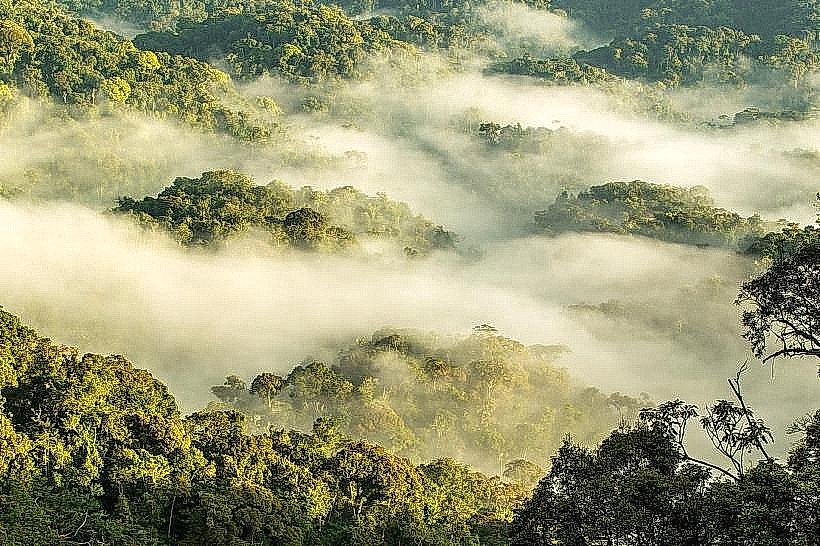
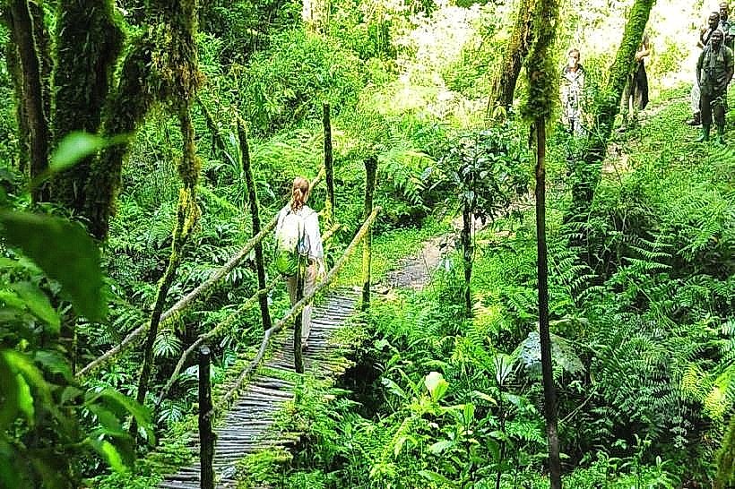
The Rukuzi Trail is a challenging, high-elevation trekking route located in the Uwinka sector of Nyungwe National Park in southwestern Rwanda. It is a long-distance loop designed for experienced hikers, providing access to remote primary forest and several ridges overlooking the western Rift Valley.
Visual Characteristics
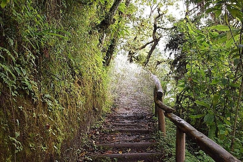
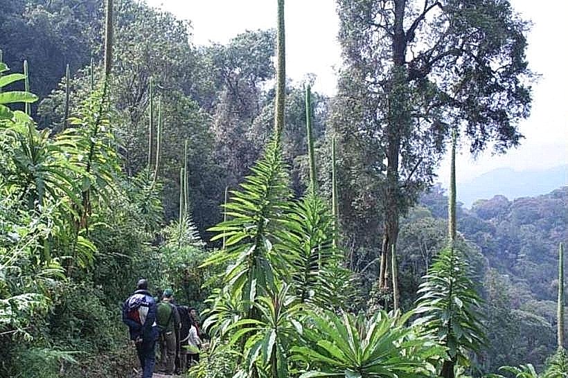
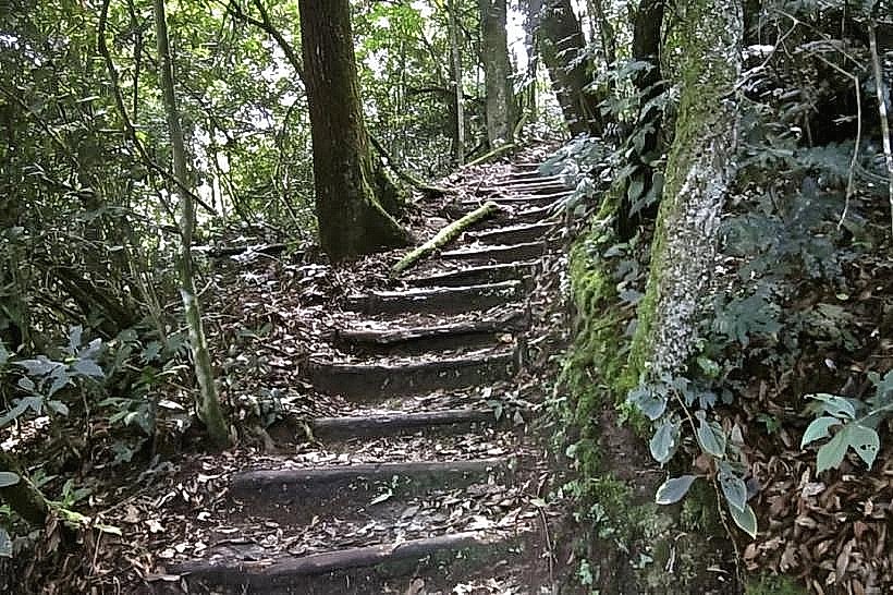
The terrain is characterized by steep gradients and a floor of dark, damp earth often covered by thick layers of moss and leaf litter. Vegetation consists of high-canopy montane forest, dominated by massive hardwoods and dense thickets of bamboo in the higher reaches. The trail offers several vistas where the forest opens up, revealing a "sea" of green canopy and the distant silhouette of the Virunga Volcanoes on exceptionally clear days.
Location & Access Logistics
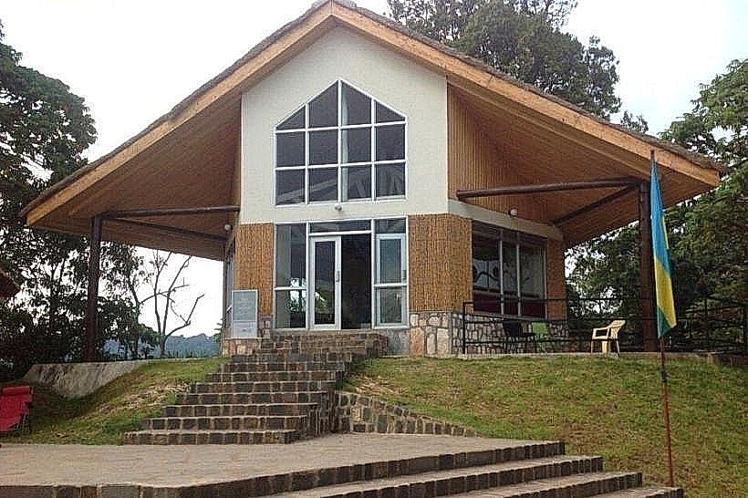
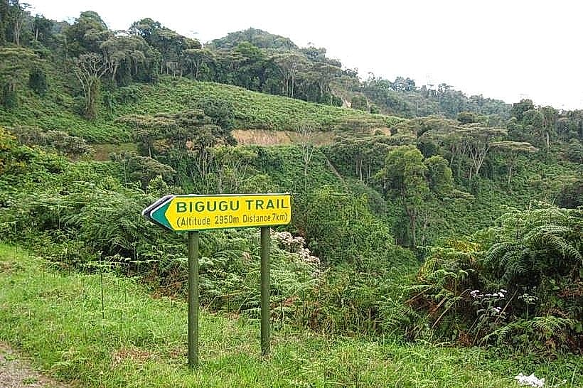
The trail originates at the Uwinka Reception Centre, which is located on the main RN6 highway connecting Kigali to Rusizi. It is approximately 220km from Kigali and 55km from Rusizi. Access is possible via private transport or the public bus system (Kigali-Rusizi line). Parking is provided at the Uwinka station; however, hikers must secure a permit and are required to be accompanied by an official park ranger for the duration of the trek.
Historical & Ecological Origin
The Rukuzi Trail was established as a premier route for primate tracking and wilderness immersion within one of Africa's oldest surviving rainforests. Geologically, the trail follows the high ridges of the Congo-Nile Divide, a significant tectonic feature of the Albertine Rift. The area serves as a critical biological corridor for the endemic chimpanzee population and numerous rare orchid species found only in this altitude range.
Key Highlights & Activities
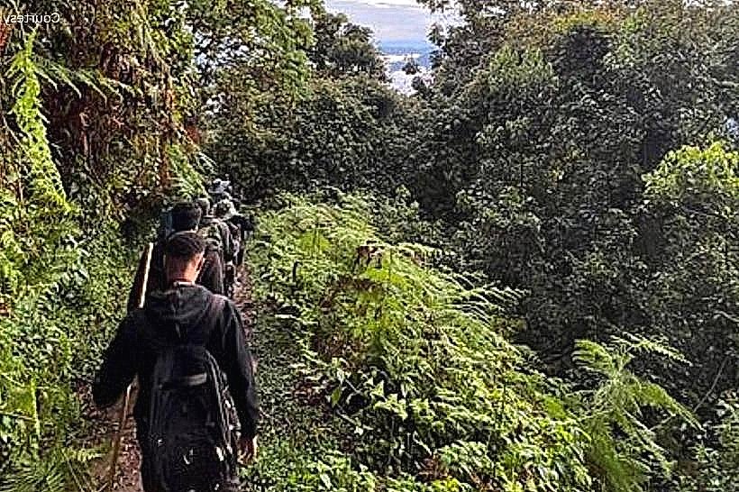
The route is a 9km loop that typically requires 5 to 6 hours to complete due to the significant elevation changes. The primary activity is primate observation, as the trail is a known territory for chimpanzee troops and the Rwenzori colobus. Birdwatching is also a major focus, with the potential to see the Regal Sunbird and the Archer's Robin-Chat in the lower-canopy sections.
Infrastructure & Amenities
Visitor infrastructure is centralized at the Uwinka trailhead, where restrooms, a visitor center, and a small canteen are located. Along the trail, infrastructure is virtually non-existent, consisting only of basic wooden markers and a few cleared resting areas. There are no food or water vendors on the route. 4G cellular signal is available at the start but becomes highly unreliable or absent once descending into the forested valleys.
Best Time to Visit
The optimal months for trekking are June through August and December through February to avoid the heaviest rains and deep mud. Photography is best during the early morning hours (07:00 to 09:00) when the light is soft and the primates are most active. During the rainy season, the trail is extremely slippery and may require specialized gear or trekking poles for stability.
Facts & Legends
The Rukuzi Trail is often cited by rangers as the most "wild" of the Uwinka-based trails because it penetrates deeper into the chimpanzee's primary foraging grounds than the shorter loops. Local lore suggests that certain ancient trees along this ridge were historically used by traditional healers as sources for rare medicinal mosses and barks found only at this specific elevation.
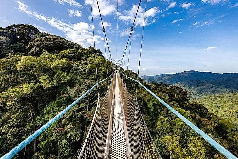
Nearby Landmarks
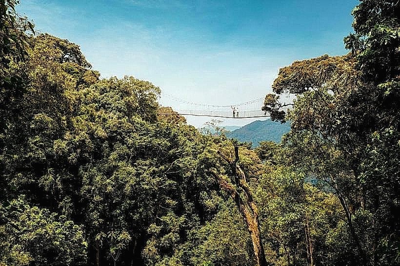
Uwinka Canopy Walkway: 0.7km South
Imbaraga Trail: 0.4km East
Igishigishigi Trail: 0.6km Southeast
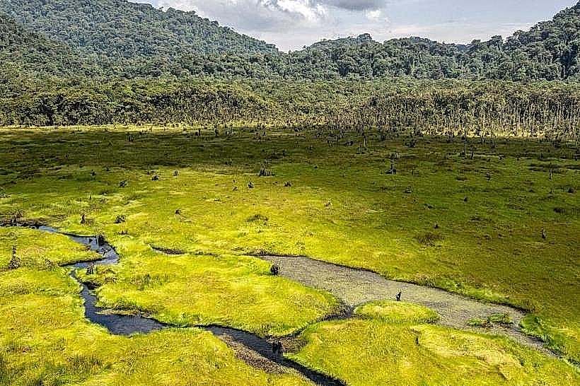
Kamiranzovu Marsh: 5.8km West