Landmark: Imbaraga Trail
City: Nyamasheke
Country: Rwanda
Continent: Africa
Imbaraga Trail, Nyamasheke, Rwanda, Africa
The Imbaraga Trail is a strenuous, high-altitude hiking route located in the Uwinka sector of Nyungwe National Park in southwestern Rwanda. It functions as a challenging loop that traverses four distinct waterfalls and multiple deep forested valleys.
Visual Characteristics
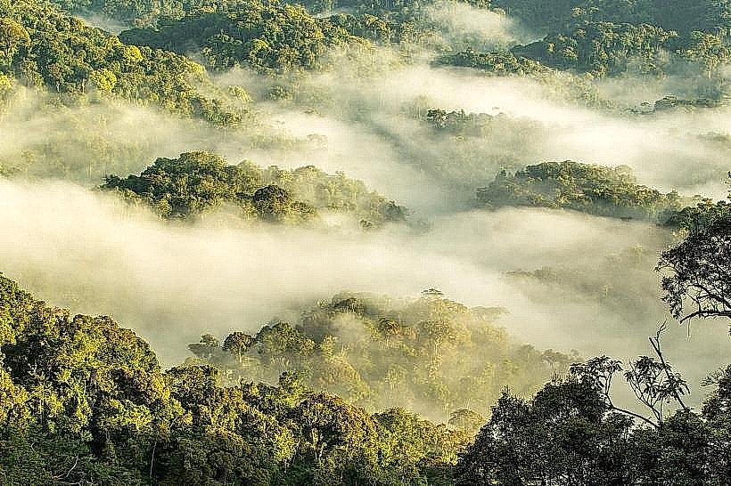
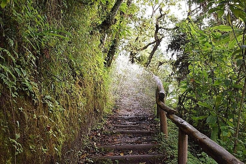
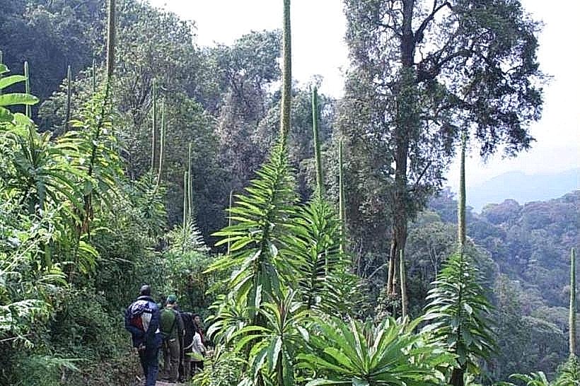
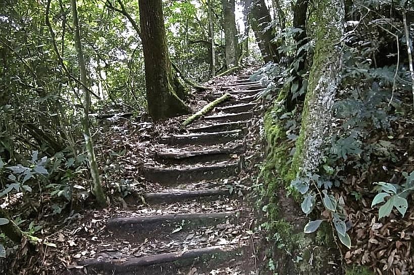
The trail surface is characterized by steep, uneven terrain consisting of red latosol, slick rock near water crossings, and dense networks of surface roots. Vegetation is dominated by primary Afro-montane rainforest with a closed canopy of Parinari excelsa and Symphonia globulifera. The path descends into deep ravines where high humidity supports a saturation of mosses, tree ferns, and dense bamboo thickets before ascending to exposed ridges with views of the forest canopy.
Location & Access Logistics
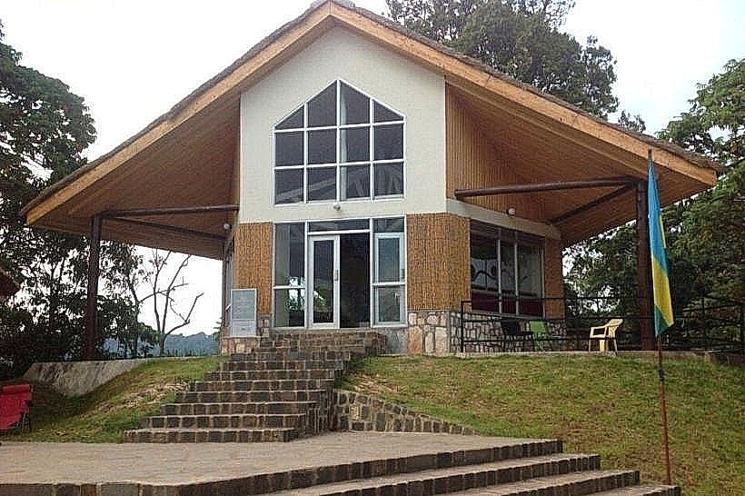
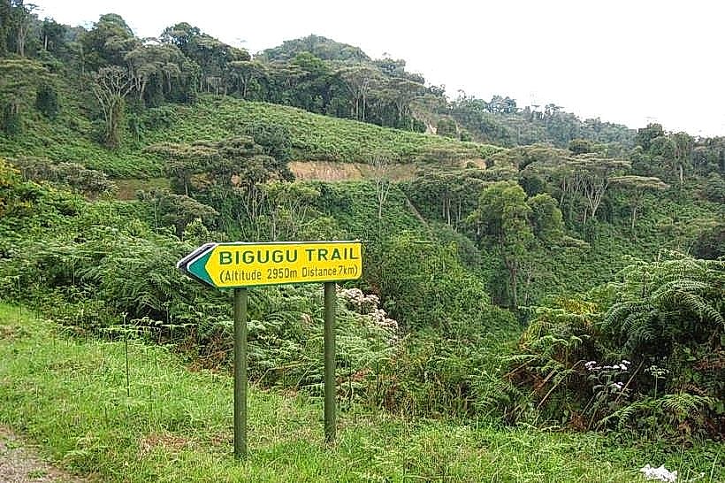
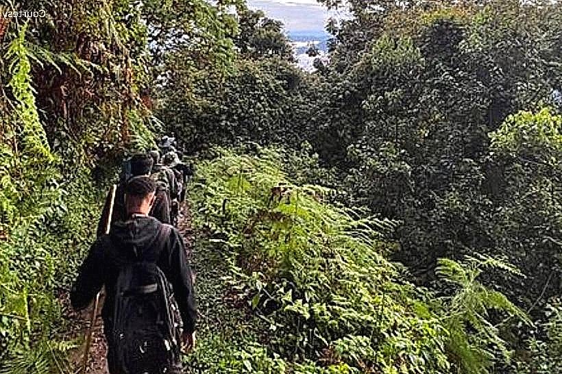
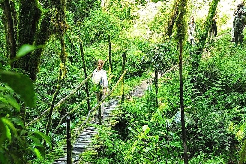
The trailhead originates at the Uwinka Reception Centre, located on the main RN6 highway approximately 55km from Rusizi. Access is primarily by private vehicle or the public bus line running between Kigali and Rusizi, with a stop at the Uwinka park entrance. Parking and a mandatory briefing station are located at the reception center; hikers must be accompanied by an armed park ranger due to the trail's length and remote interior sections.
Historical & Ecological Origin
The Imbaraga Trail was designed as the park’s premier technical hike, named "Imbaraga" (meaning "strength" in Kinyarwanda) to reflect its physical demands. Geologically, the trail crosses several fault lines within the Albertine Rift, which created the vertical drops necessary for the trail's four major waterfalls. The ecosystem is a critical habitat for the endemic Albertine Rift montane silk-moth and various rare amphibians.
Key Highlights & Activities
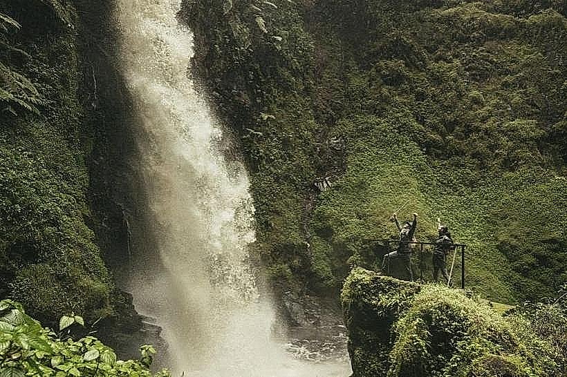
The 10km loop requires approximately 6 hours of vigorous trekking and involves a total elevation gain of nearly 500 meters. The primary highlight is the series of four waterfalls, the most prominent being a 25-meter drop into a granite basin. Birdwatching is highly productive in the riverine sections, where the Great Blue Turaco and the Ross’s Turaco are frequently sighted.
Infrastructure & Amenities
Visitor infrastructure is concentrated at the Uwinka trailhead, offering restrooms, a canteen, and permit services. On the trail, infrastructure is limited to primitive wooden bridges over stream crossings and a few steep sections reinforced with handrails or earthen steps. There is no potable water or food available on the route, and cellular signal is non-existent in the deep valley floors, returning only intermittently on the higher ridges.
Best Time to Visit
The dry seasons from June to August and December to February are essential for this trail to avoid dangerous, slippery conditions on the steep descents. Photography of the waterfalls is best during the mid-morning (10:00 to 11:30) when light penetrates the deep ravines. During the rainy season, the trail is often closed or restricted due to the risk of flash flooding near the river crossings.
Facts & Legends
Local rangers often refer to the Imbaraga Trail as the "Trail of Water" because it crosses more perennial streams than any other route in the park. A historical oddity of the route is its passage through "the cathedral," a specific grove of ancient, massive trees that survived historical logging attempts due to the extreme surrounding topography.
Nearby Landmarks
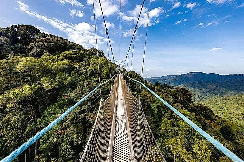
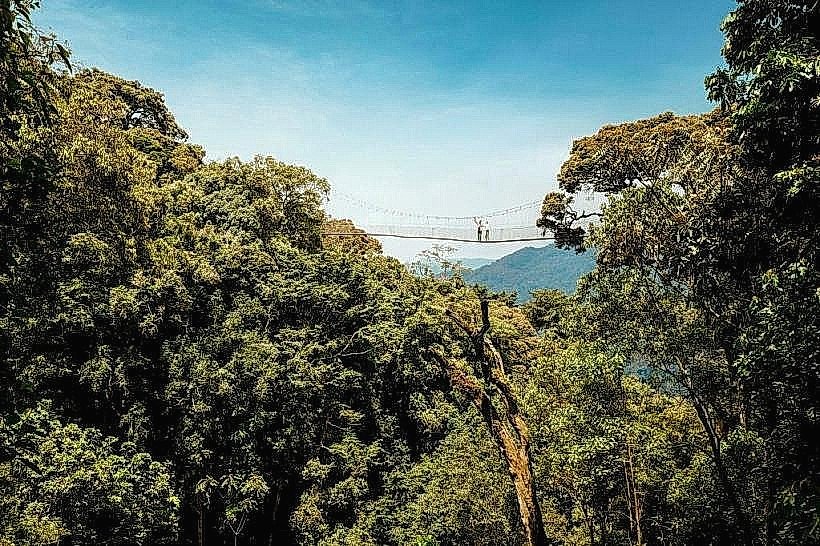
Uwinka Canopy Walkway: 0.4km South
Igishigishigi Trail: 0.2km South
Irebero Trail: 0.5km North
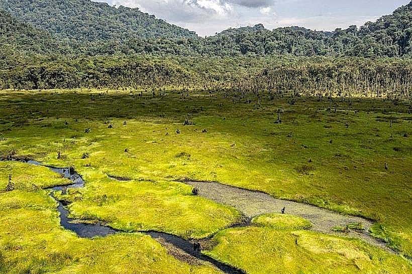
Kamiranzovu Marsh: 5.2km West