Landmark: Chagwa Dam
City: Zomba
Country: Malawi
Continent: Africa
Chagwa Dam, Zomba, Malawi, Africa
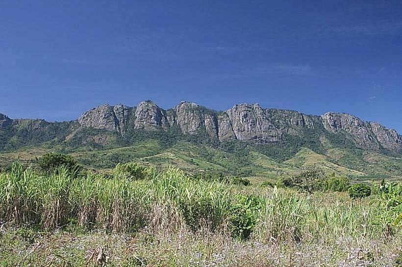
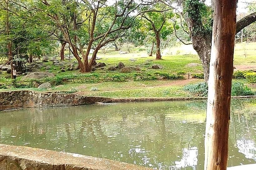
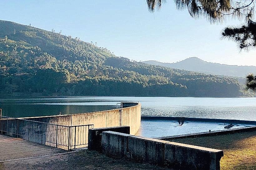
Chagwa Dam is a man-made reservoir located on the upper plateau of the Zomba Massif in southern Malawi. It is situated within the Zomba District, approximately 5.5km north-northeast of the center of Zomba town.
Visual Characteristics
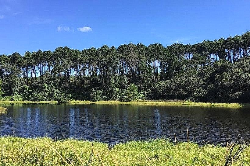
The landmark features a small, earth-fill containment dam wall holding back an artificial body of water that spans roughly 4 to 5 hectares when full. The water color fluctuates between murky brown and deep green depending on recent rainfall and sediment levels. The surrounding landscape is characterized by dense plantations of exotic pine, indigenous cedar trees, and thick, low-lying montane marsh vegetation. The shoreline consists of soft, muddy banks interspersed with exposed granitic boulders and grasses.
Location & Access Logistics
From the center of Zomba town, drivers must ascend the Zomba Plateau via the main plateau tarmac road for 7km to reach the Sunbird Ku Chawe hotel area. From the hotel, the route follows the dirt network of the Outer Circular Road heading north-northeast for approximately 3km. The dirt tracks leading directly to the water are unpaved, narrow, and require a high-clearance four-wheel-drive vehicle, especially during wet conditions. Alternatively, the site can be reached via a 2-hour hike on marked forestry trails from the main resort area. There is no designated or paved parking lot; vehicles park on clearing shoulders near the water. No public transport or bus routes service this section of the plateau.
Historical & Ecological Origin
The dam was constructed during the mid-20th century under British colonial administration as part of the Zomba Plateau's forestry and water management infrastructure. Its primary original purpose was to regulate water runoff, assist in local forestry operations, and provide a reliable water supply for the growing administrative center of Zomba below. Ecologically, the reservoir sits within a high-altitude catchment area characterized by an afro-montane ecosystem.
Key Highlights & Activities
Trout fishing is permitted seasonally at the reservoir, subject to acquiring a valid permit from the forestry office. Bird watching is a primary activity due to the concentration of water birds and forest species along the quiet banks. Hiking trails encircle the perimeter of the water body, linking the site to broader trekking networks across the northern plateau.
Infrastructure & Amenities
The site lacks commercial infrastructure. There are no public restrooms, built shelters, or trash disposal facilities. No food, beverage, or bait vendors operate near the water. Shade is available under the tree lines bordering the reservoir banks. Cellular phone reception (4G) is intermittent and highly dependent on the service provider, often dropping entirely in the low-lying depressions around the water.
Best Time to Visit
The best months to visit are from May to October during the dry season, when the access tracks are dry and passable. For photography, early morning is the optimal time of day, as the water surface is typically calm and produces clear reflections of the surrounding pine forests before the daily mountain winds pick up. The area becomes difficult to access and prone to heavy mist and rain from November to April.
Facts & Legends
The reservoir is known among local forestry workers for its sudden, drastic water level fluctuations, which can drop rapidly during drought years to reveal old stumps of the original forest cleared prior to flooding. A common tip for visitors is that the dam acts as an unmonitored sanctuary for unique amphibians, and walking quietly along the marshy eastern edge allows for observations of the rare plateau squeaker frog.
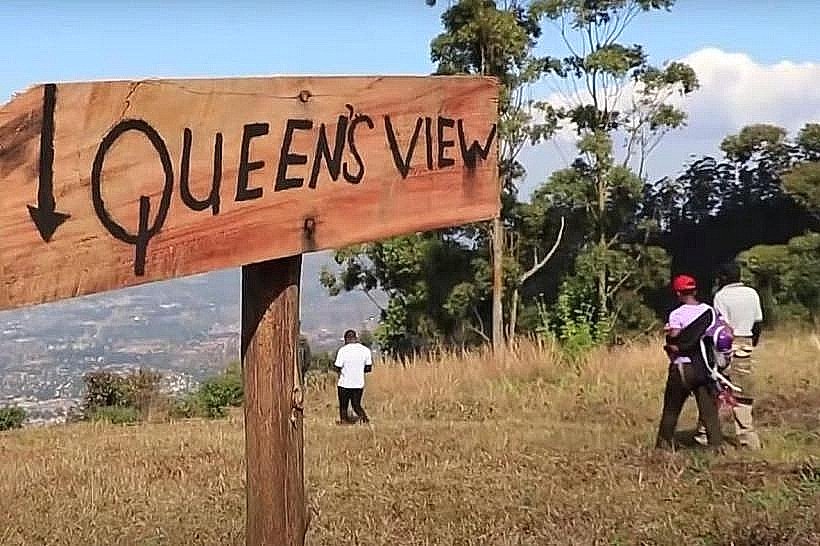
Nearby Landmarks
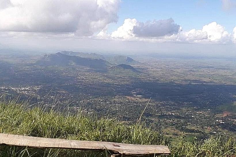
Songani Lookout – 1.8km Northeast
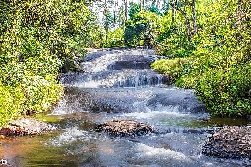
Williams Falls – 2.1km South
Mulumbe Peak – 2.4km West
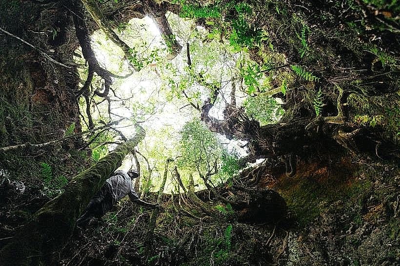
Chingwe's Hole – 4.1km Northwest