Landmark: Chingwe's Hole
City: Zomba
Country: Malawi
Continent: Africa
Chingwe's Hole, Zomba, Malawi, Africa
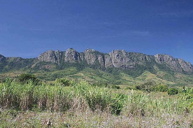
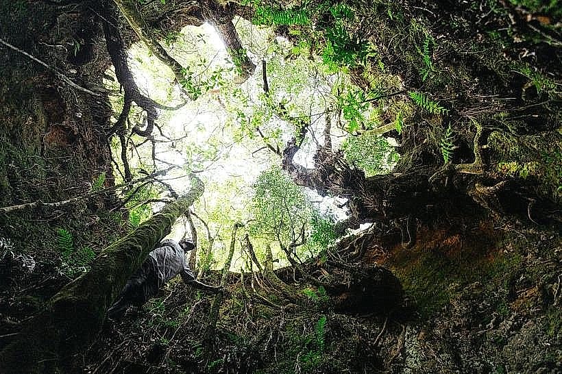
Chingwe's Hole is a geological vertical shaft located on the northwestern edge of the Zomba-plateau_zomba" class="underline">Zomba Plateau in southern Malawi. It is situated within the Zomba District, approximately 7km north of the center of Zomba town.
Visual Characteristics
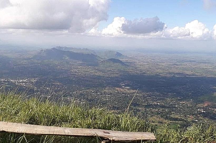
The landmark is a dark, narrow, near-vertical openings or pit in the earth measuring roughly 3m to 4m in diameter. The upper lip of the shaft is heavily obscured by thick, green, encroaching afro-montane bush, shrubs, and dense vegetation. The interior of the hole drops sharply into darkness, with unquantified subterranean depths. The surrounding terrain consists of rolling montane grasslands, thick pine and cedar forests, and rugged granite and syenite rock surfaces that terminate at a nearby sheer cliff face overlooking the Shire Plain.
Location & Access Logistics
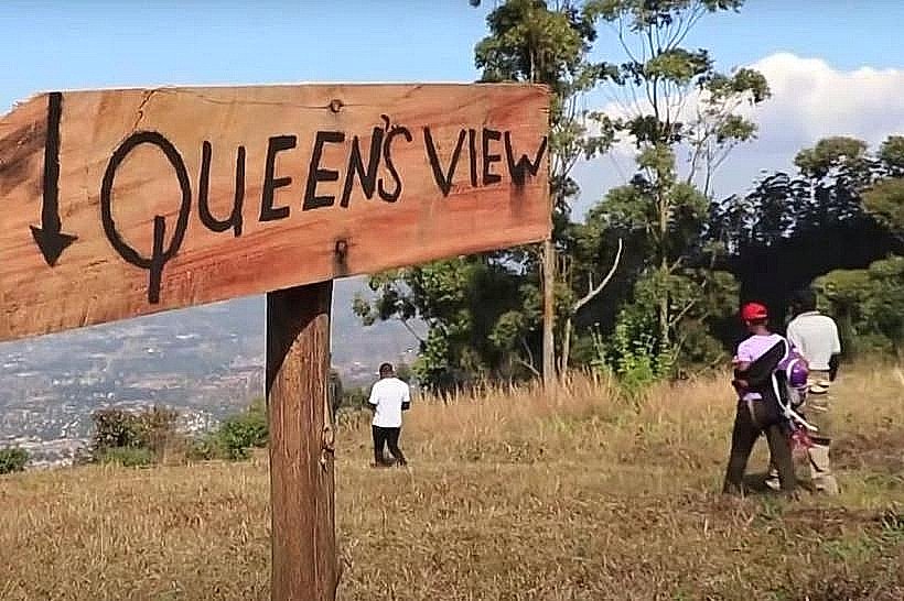
Accessing the site requires traveling from Zomba town center up the Zomba Plateau via the main plateau tarmac road for 7km. From the Sunbird Ku Chawe hotel at the top of the climbing road, the site is accessed via the Outer Circular Road or the northern dirt ridge tracks heading northwest. The final sections require a high-clearance four-wheel-drive vehicle due to deeply rutted, rocky, and narrow dirt tracks, or a 6-hour round-trip hike along the ridge trail past Mulumbe Peak. There is no formalized parking lot at the site; vehicles pull off onto the dirt track shoulders. No public transit lines serve the outer rim of the plateau directly.
Historical & Ecological Origin
Geologically, the feature is a natural cavernous fracture within the igneous syenite intrusion that forms the Zomba Massif, which was uplifted during the formation of the East African Rift System. Historically, the shaft served as a traditional disposal site utilized by local tribal authorities and chiefs. It was used as a remote quarantine or dumping point for individuals afflicted with leprosy, the deceased, criminals, and political adversaries.
Key Highlights & Activities
Hiking and walking along the designated outer circular trails are the primary methods of reaching the site. Scenic photography is available from the edge of the adjacent cliff, providing panoramic views across the Shire Valley and toward Lake Malombe. Guided wilderness treks regularly incorporate the site into full-day plateau itineraries organized by local guide associations.
Infrastructure & Amenities
The site possesses zero tourist infrastructure. There are no public restrooms, running water facilities, or trash receptacles. There are no food or beverage vendors within the immediate vicinity. Natural shade is sparse directly at the pit rim but available under nearby forest canopies. Cellular phone signals (4G) fluctuate from weak to nonexistent depending on network providers along the remote northwestern escarpment.
Best Time to Visit
The optimal period for visiting is during the dry season months from May to October, when dirt roads are passable and hiking trails are dry. Mid-morning provides the best overhead lighting for photography to illuminate the mouth of the shaft, while late afternoon offers optimal lighting for the adjacent valley viewpoints. The site is highly dangerous to approach during the rainy season (November to April) due to slick rock faces and dense mist that reduces visibility.
Facts & Legends
Local oral history claims the hole is bottomless, with a common myth stating that bodies thrown into the shaft would travel through subterranean channels and emerge in the Namitembo River located in the valley far below. The site was famously documented by Malawian poet Jack Mapanje in his literary work "Of Chameleons and Gods," where he referred to it as a symbol of historical execution and tribal imprisonment.
Nearby Landmarks
Mulumbe Peak – 2.5km Southeast
Songani Lookout – 3.2km East
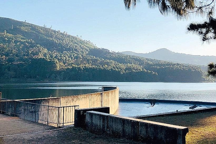
Chagwa Dam – 4.1km Southeast
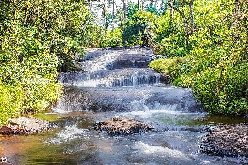
Williams Falls – 4.8km Southeast