Landmark: Lake Chilwa
City: Zomba
Country: Malawi
Continent: Africa
Lake Chilwa, Zomba, Malawi, Africa
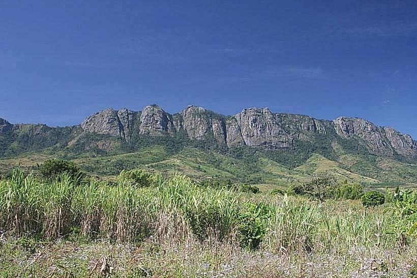
Lake Chilwa is an endorheic, shallow lake located in eastern Zomba and Phalombe districts in southern Malawi, along the international border with Mozambique. It is positioned approximately 30km east of Zomba city center and represents the second-largest body of water in the country.
Visual Characteristics
The landmark features a vast expanse of highly turbid, shallow water that varies between light brown and dark clay-green depending on seasonal sediment suspension. The lake spans approximately 60km in length and 40km in width during peak capacity, with an average depth of only 1 to 2 meters. Its open waters are flanked by a broad, flat belt of dense Typha reed swamps, marshes, and seasonally inundated grasslands. Near the center of the lake basin rises Chisi Island, a prominent, elevated granitic landmass covered in scattered baobabs, green woodlands, and local mud-brick fishing settlements.
Location & Access Logistics
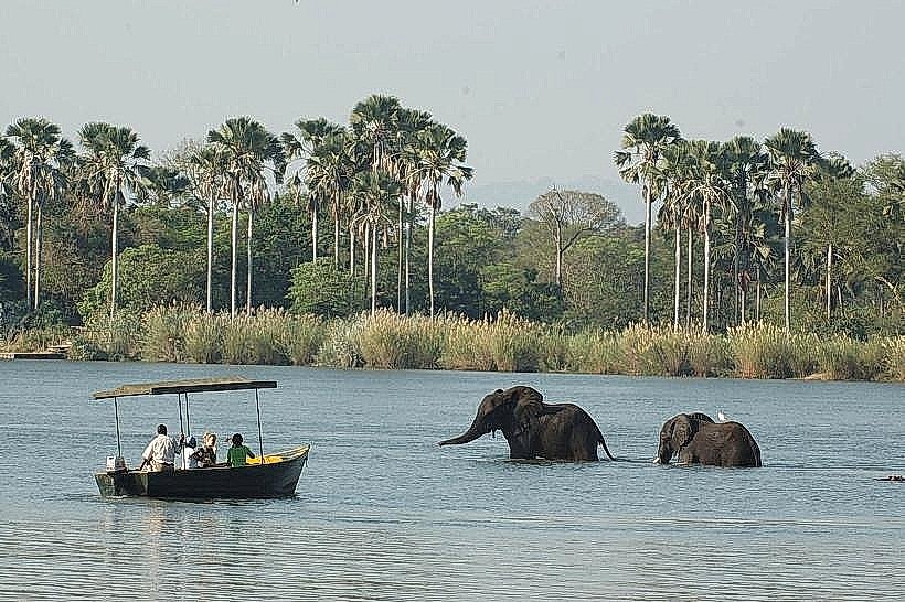
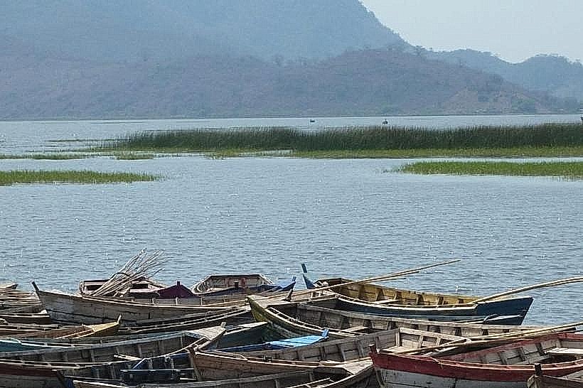
The primary western access route departs from Zomba city center along the S151 road (Zomba-Jali-Phalombe route) or the unpaved S143 road heading directly east toward Kachulu Harbour. Kachulu Harbour is the main terrestrial staging point, located approximately 28km east of the tarmac junction in Zomba. The final 10km stretch consists of a gravel and dirt road that requires high-clearance vehicles during the dry season and a four-wheel-drive configuration during the rains due to deep mud along the floodplain. From Kachulu Harbour, non-motorized wooden dugout canoes or small motorized fiberglass boats are utilized to cross the shallow waters to Chisi Island or navigate the open lake. No public minibuses run directly to the lakeshore docks; localized motorcycle taxis (kabazas) service the final unpaved tracks.
Historical & Ecological Origin
Geologically, Lake Chilwa occupies a structural tectonic depression located directly south of Lake Malawi within a parallel chain of the East African Rift System, sitting at an elevation of 627 meters above sea level. Lacking any river outflow, the basin functions entirely as an inland drainage sink where water levels are maintained strictly by the equilibrium between evaporation and seasonal river inflows from the Thondwe, Phalombe, and Domasi rivers. In 1996, the wetland was designated as Malawi's first Ramsar Site of International Importance due to its unique ecological role in supporting massive populations of migratory waterfowl and a highly productive, resilient local fishery.
Key Highlights & Activities
Motorized boat excursions can be chartered from Kachulu Harbour to cross the open water channel to Chisi Island for community walking tours. Bird watching is a primary specialized activity, with the wetlands hosting over 1.5 million individual waterbirds, including significant seasonal populations of lesser flamingos, pelicans, and palearctic migrants. Observing traditional fishing operations-utilizing specialized local basket traps (mono) and wooden gillnetting boats-is possible along the marsh fringes.
Infrastructure & Amenities
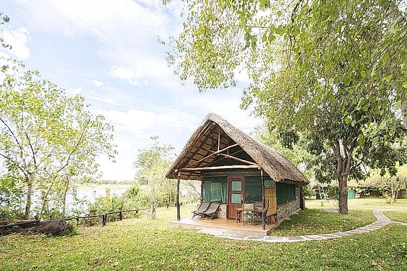
The landmark features almost no formal tourist infrastructure. Kachulu Harbour possesses a basic concrete boat jetty, a rudimentary forestry office, and simple open-air fish markets. There are no public restroom facilities, running water networks, or grid electricity along the lake edge. Shade is non-existent on the open water and restricted to wild mango or baobab trees on the immediate shorelines and islands. Cellular coverage (4G) is functional but highly erratic at the harbors and drops entirely across the eastern open waters approaching the Mozambique border.
Best Time to Visit
The dry season months from May to October offer optimal conditions, ensuring the unpaved floodplain roads are fully dry and navigable. Early morning hours (05:30 to 08:00) provide the best low-angle, clear lighting for bird photography and calm water surfaces before intense midday heat causes thermal haze and heavy evaporation mist. The rainy season from November to April should be avoided due to severe road flooding and high winds that create dangerous, unpredictable chop on the shallow water body.
Facts & Legends
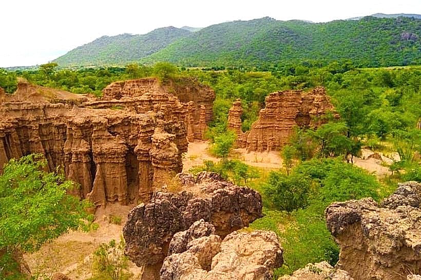
Lake Chilwa possesses a documented history of cyclical complete desiccation, having dried out completely nine times over the past century-most recently in 1996 and 2018-forcing the entire local human and bird population to temporarily migrate until seasonal rains refill the basin. A common local legend on Chisi Island dictates that the core of the island mountain is protected by ancestral spirits that mask the entrance to a network of hidden caves, which historically served as a defensible refuge for the Yao people during 19th-century tribal wars and slave raids.
Nearby Landmarks
Kachulu Harbour Jetty – 0.1km West
Chisi Island Northern Point – 4.2km East
Nthungwa Fishing Village – 4.5km South
Domasi River Delta – 4.8km Northwest