Landmark: Givat Ram
City: Jerusalem
Country: Israel
Continent: Asia
Givat Ram, Jerusalem, Israel, Asia
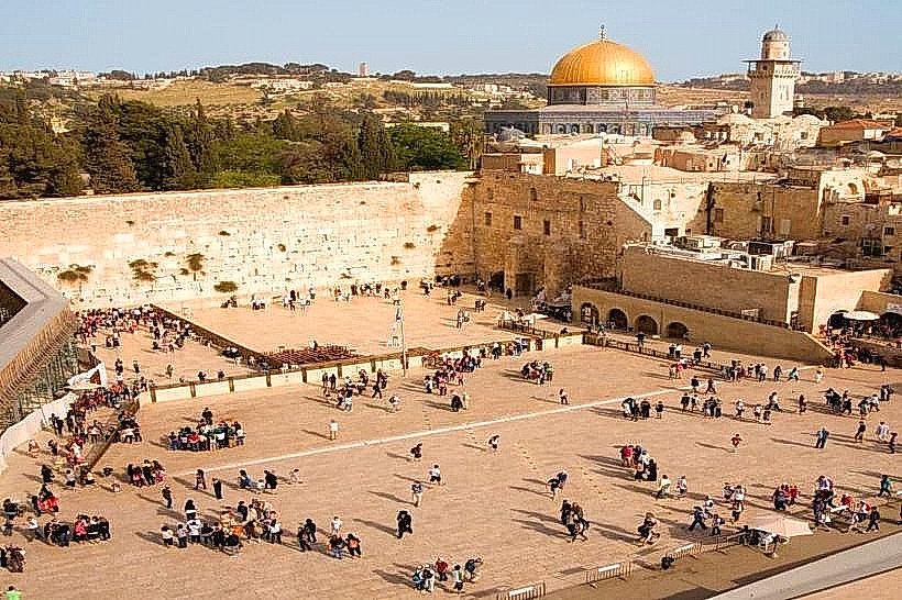
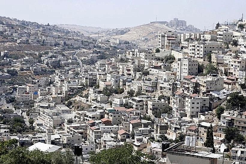
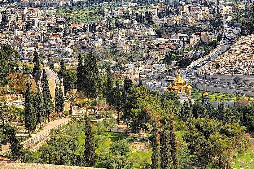
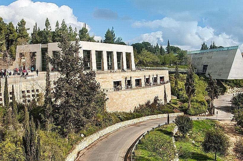
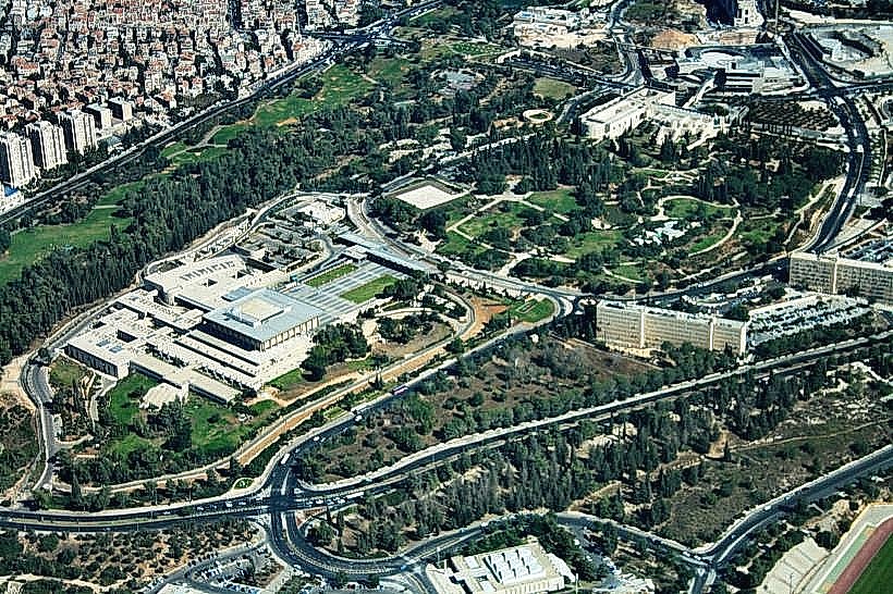
Givat Ram is a central district in West Jerusalem that serves as the administrative, governmental, and academic center of the city. It is situated on a broad limestone ridge and encompasses the national government complex and the primary science campus of the Hebrew University.
Visual Characteristics
The area is characterized by low-density institutional architecture, primarily utilizing the International Style and Modernism. Buildings are constructed with polished Jerusalem stone and often feature geometric concrete forms and large glass panels. The landscape is defined by wide paved plazas, extensive lawns, and curated gardens, with a high concentration of outdoor sculptures and monuments.
Location & Access Logistics
Givat Ram is located between the neighborhoods of Rehavia to the east and Kiryat HaYovel to the west. Primary vehicle access is via Ruppin Road and Yitzhak Rabin Boulevard. Public transportation includes the Jerusalem Light Rail (Red Line) with stops at the nearby Central Bus Station and Jaffa Center, along with Egged bus lines 7, 14, 35, 66, and 68. Paid parking lots are located at the Israel Museum and the University entrance.
Historical & Ecological Origin
The ridge is composed of Turonian limestone, part of the Judean mountain range. Historically, development began in the 1950s after the division of Jerusalem in 1948 rendered the original government and academic sites on Mount Scopus inaccessible. It was planned by a team of architects led by Richard Kauffmann to create a unified "National Quarter."
Key Highlights & Activities
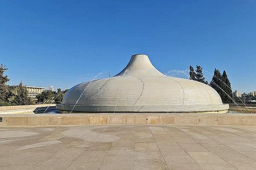
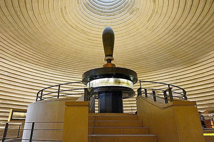
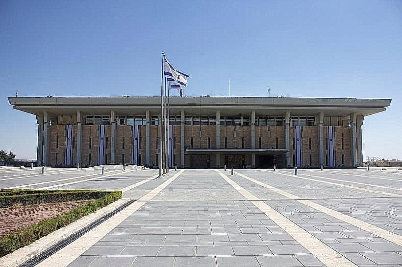
Visitors can observe parliamentary proceedings at The Knesset or explore the Shrine of the Book at the Israel Museum. The Hebrew University campus features a botanical garden and several research libraries. The Wohl Rose Park provides walking paths through a collection of over 400 varieties of roses. Educational tours are the primary logistical activity within the governmental sector.
Infrastructure & Amenities
The district possesses modern infrastructure including high-speed 4G/5G cell signal and paved pedestrian arteries. Public restrooms are located inside all museums, the National Library, and the University buildings. While the plazas are exposed, significant shade is provided by the tree-lined boulevards and the Wohl Rose Park. Cafeterias and dining halls are situated within the university and museum complexes.
Best Time to Visit
Operational hours for most institutions are Sunday through Thursday, 09:00 to 17:00. The best lighting for the expansive architecture and outdoor sculpture gardens occurs in the late afternoon. Spring (March through May) is the optimal season for visiting the Rose Park and the botanical gardens.
Facts & Legends
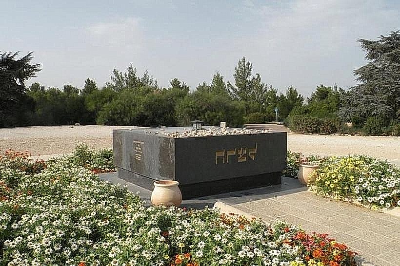
The neighborhood’s name is a Hebrew acronym for Givat Rikuz Meguyasim (Recruitment Concentration Hill), as the ridge served as the primary assembly and training point for the Haganah forces during the 1948 Arab-Israeli War.
Nearby Landmarks
The Knesset (0.4km East)
The Israel Museum (0.3km South)
National Library of Israel (0.2km North)
Bible Lands Museum (0.4km South)
Wohl Rose Park (0.5km Northeast)