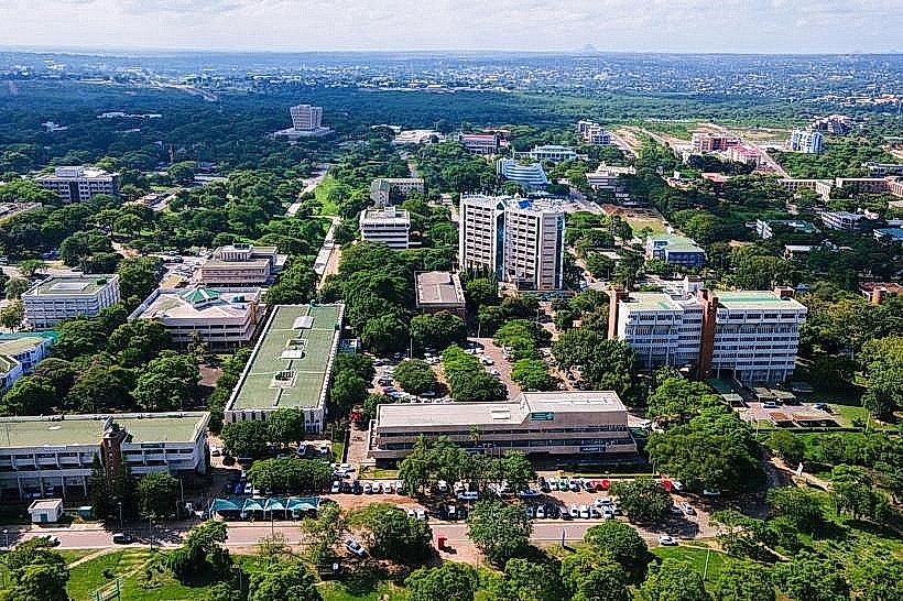
City: Lilongwe
Country: Malawi
Continent: Africa
Lilongwe, Malawi, Africa
Lilongwe functions as the political and administrative capital of Malawi, anchoring the country's central agricultural region. The city is situated on a plateau west of Lake Malawi within the East African Rift Valley system at an elevation of 1050 meters.
Historical Timeline
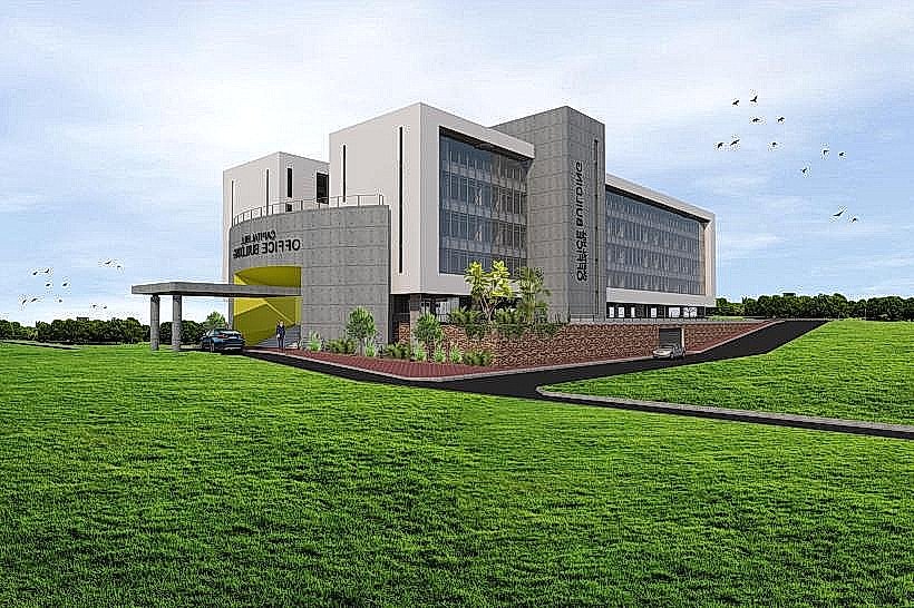
Lilongwe originated as a small village on the Lilongwe River and was established as a British colonial administrative station in 1907. The settlement transitioned through British imperial governance until Malawi achieved independence in 1964. A massive political reconstruction project began when President Hastings Kamuzu Banda officially declared Lilongwe the national capital in 1975, shifting the seat of government from the southern city of Zomba. This planned relocation and the subsequent construction of the Capital Hill administrative complex is the primary event that shaped the current divided urban layout.
Demographics & Population
The population within the Lilongwe city limits is estimated at 989000, while the broader metropolitan area contains approximately 1.3 million residents. The top three ethnic demographics are the Chewa, Tumbuka, and Lomwe. The median age of the population is 18.4 years, reflecting a highly youth-dominated demographic profile.
Urban Layout & Key Districts
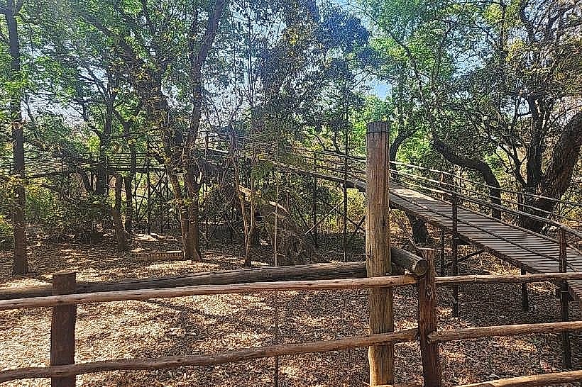
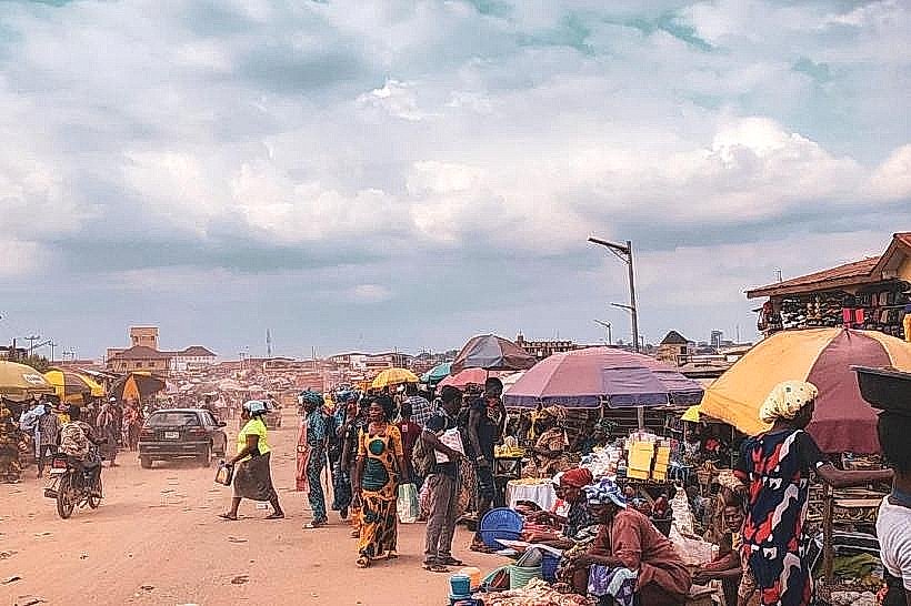
The urban layout is explicitly bifurcated, divided by the Lilongwe Nature Reserve and the Lilongwe River into two distinct zones. The Old Town, located to the south, operates as the commercial, retail, and traditional market core. The City Centre, situated to the north, contains Capital Hill, corporate headquarters, foreign embassies, and manicured administrative zones. Area 10 and Area 43 are key residential and diplomatic sectors located northeast of the City Centre.
Top City Landmarks
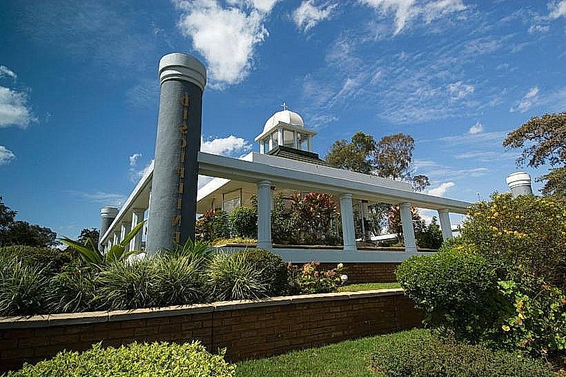
Capital Hill (Government Administrative Complex)
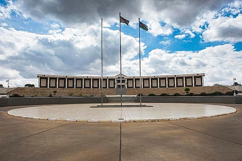
Parliament Building
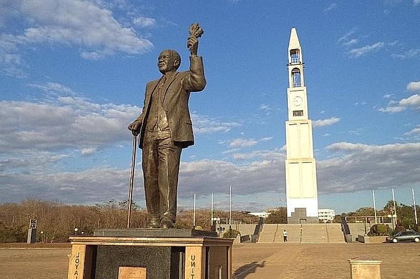
World War I Memorial Tower
Transportation Network
Internal movement relies heavily on private vehicles and informal transit networks, as there is no municipal rail or tram system. Minibuses (locally known as kombis) run fixed routes between the Old Town and City Centre bus terminals, though they operate without fixed timetables and experience severe overcrowding. Registered, official taxis are identifiable by their red registration plates and lack meters, necessitating upfront fare negotiation. Ride-sharing applications like ride-hailing services are not widely integrated, though local on-demand taxi apps exist on a small scale. Traffic density peaks heavily on the roads connecting the Old Town and City Centre during morning and evening commuting hours.
Safety & "Red Zones"
Lilongwe is relatively stable compared to regional peers, but opportunistic crime is common. The unlit walking paths and footbridges crossing the Lilongwe River between Old Town and the City Centre are strict red zones to be avoided entirely after dark. Particular caution is required around the central minibus terminals and the Area 1/Area 2 market sectors due to pickpocketing rings. Common scams involve counterfeit currency exchanges on the street and overcharging by unregistered vehicle operators.
Digital & Financial Infrastructure
The average fixed broadband internet speed stands at approximately 3 to 5 Mbps, while 4G mobile data connectivity provides more reliable speeds. The two dominant mobile network operators are Airtel Malawi and TNM (Telekom Networks Malawi). Credit card acceptance is low, restricted primarily to international hotel chains and premium supermarkets in the Gateway Mall or City Mall; cash is the mandatory medium for daily transactions. ATMs are widely available at bank branches in Area 3 and the City Centre, though they frequently experience cash outages or power-related downtime.
Climate & Air Quality
Lilongwe features a subtropical highland climate with three distinct seasons. The cool, dry season runs from May to August with temperatures ranging from 10°C at night to 25°C during the day. The hot, dry season spans September to October, with temperatures peaking between 30°C and 34°C. The wet monsoon season occurs from November to April, delivering heavy equatorial rainfall. Air quality is generally acceptable but degrades during the late dry season due to widespread agricultural brush burning and dust suspension from unpaved secondary roads.
Culture & Social Norms
Malawian society is socially conservative. Modest clothing is expected, and attire that exposes knees or shoulders is discouraged in public markets and administrative offices. A handshake is the standard greeting, performed with the left hand supporting the right forearm as an explicit sign of respect. Tipping is not a standard requirement in local establishments, but a 10% tip is standard in expat-oriented restaurants. Public consumption of alcohol outside licensed venues is illegal, and smoking in enclosed public spaces is prohibited.
Accommodation Zones
Area 3 (Old Town): Recommended for direct walking access to commercial markets, local transport nodes, and mainstream dining options.
Area 10 / City Centre: Recommended for security infrastructure, proximity to international embassies, and quiet residential environments.
Local Cost Index
1 Espresso: 3500 MWK ($2.00 USD)
1 Standard Lunch: 8700 MWK ($5.00 USD)
1 Minibus Ticket: 1500 MWK ($0.85 USD)
Nearby Day Trips
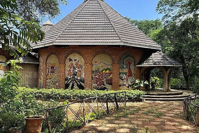
Dedza Pottery and Mountain: Located 85 kilometers south, featuring ceramic workshops and high-altitude hiking trails.
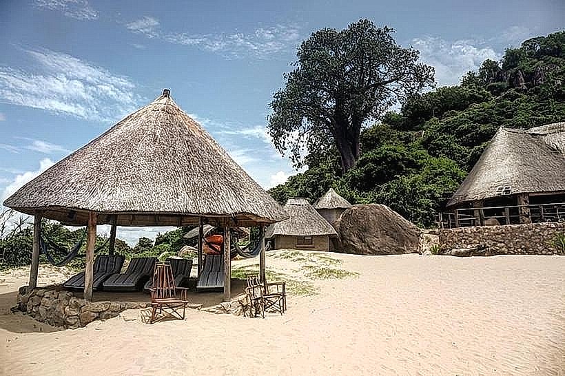
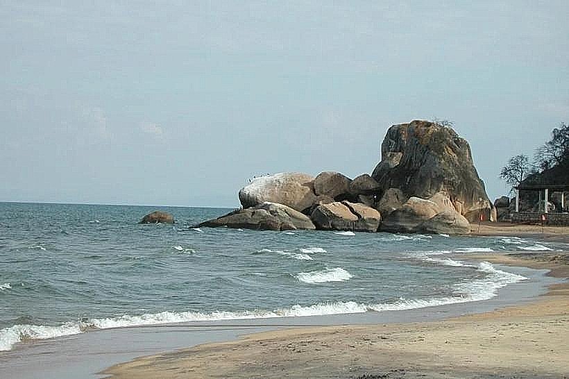
Senga Bay (Lake Malawi): Located 125 kilometers east, offering the closest direct access to the lakefront.
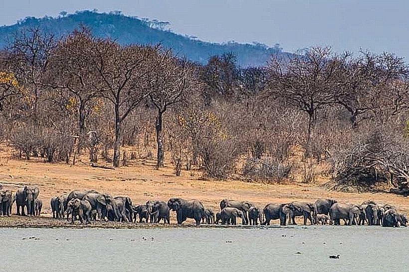
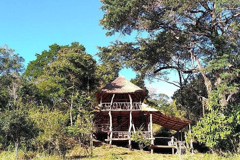
Kuti Wildlife Reserve: Located 95 kilometers east near Salima, supporting large mammal populations in a protected ecosystem.
Facts & Legends
According to regional oral tradition, the Lilongwe River was named after a resident historical figure or a linguistic descriptor meaning "injuring one another," referencing a legendary clan battle that took place along the riverbanks prior to British colonial mapping. Modern urban legends frequently involve supernatural sightings within the dense forest canopy of the Lilongwe Nature Reserve, which splits the two halves of the capital city.