Landmark: Dzalanyama Forest Reserve
City: Lilongwe
Country: Malawi
Continent: Africa
Dzalanyama Forest Reserve, Lilongwe, Malawi, Africa
The Dzalanyama Forest Reserve is a massive protected wilderness area spanning 989 square kilometers across the rugged mountain range that defines the border between Malawi and Mozambique. The reserve serves an essential ecological role as the primary watershed catchment area for the Lilongwe River system, directly securing the municipal water supply for the capital city.
Visual Characteristics
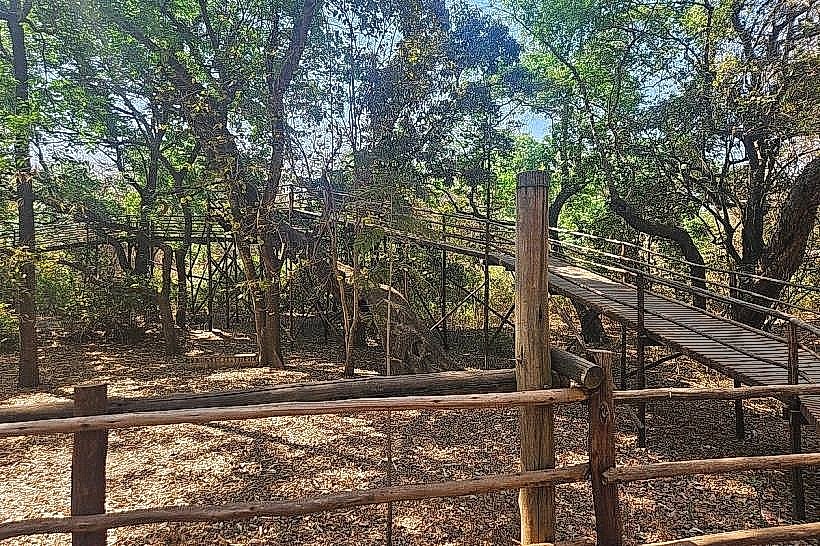
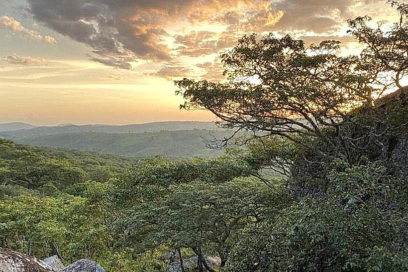
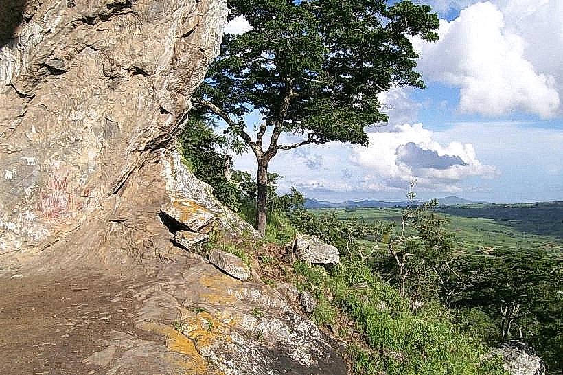
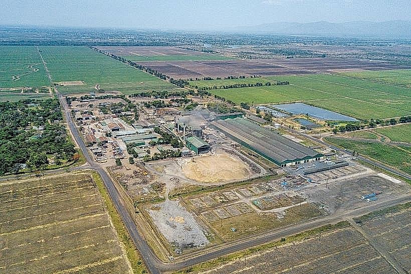
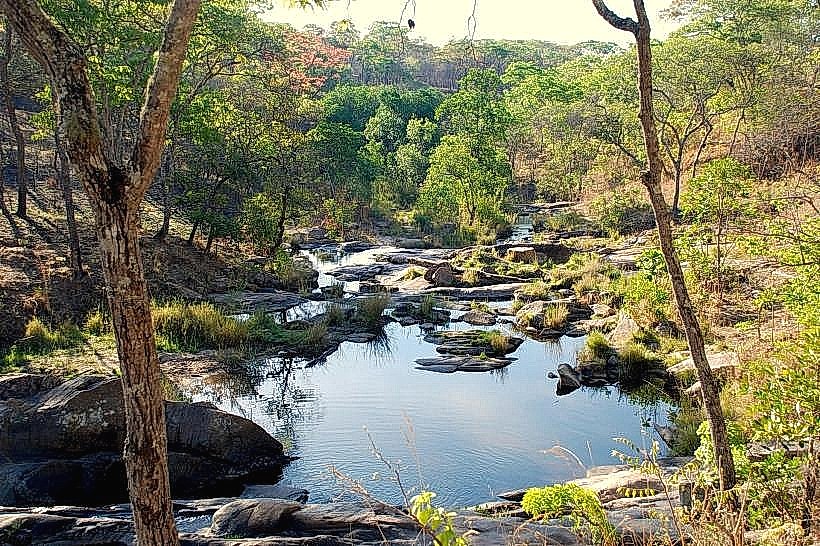
The reserve landscape is dominated by continuous tracts of indigenous Brachystegia woodland, commonly classified as miombo forest, alongside significant stands of Uapaca and clumps of riparian Eugenia cordata trees. The terrain ascends from flat, sandy dambo wetlands on the eastern boundary at 1,100 meters to steep, rocky granite peaks exceeding 1,650 meters along the western border ridge. The structural color palette is characterized by the muted greens and seasonal coppery tones of the woodland canopy, accented by exposed grey granite kopjes and crystalline mountain streams that flow into natural stone rock pools. Approximately five percent of the land area features structured, linear commercial plantations of exotic pine and eucalyptus trees.
Location & Access Logistics
The main entry point to the reserve is situated approximately 60 kilometers southwest of the Lilongwe city center. Access by vehicle requires taking the Likuni Road or the S124 route out of Lilongwe, transforming into unpaved dirt and gravel forestry tracks that require high-clearance four-wheel-drive vehicles, particularly during structural wet periods. There is no formal public minibus infrastructure running directly into the interior of the reserve; transit passengers must arrange private transport from Lilongwe or secure a specialized 4x4 shuttle transfer via local eco-tour operators who navigate the route past the peripheral Chiunjiza gate.
Historical & Ecological Origin
The territory was originally gazetted under British colonial administration in 1922 as the Central Angoni Highlands Game Reserve to protect regional fauna. The administrative status was subsequently altered later that year to a designated state forest reserve to prioritize the long-term conservation of the upper drainage basin of the Linthipe and Lilongwe rivers. The reserve is classified as a Key Biodiversity Area and an Important Bird Area due to its collection of intact, pristine miombo woodland structures that support globally threatened and highly localized avian populations.
Key Highlights & Activities
Trekking and mountain biking along the networks of unpaved logging tracks and single-track wilderness trails form the primary recreational activities. The site is a premier destination for specialized international birdwatching, enabling the observation of rare endemic species including the olive-headed weaver, miombo pied barbet, and boulder chat. Wilderness swimming is permissible within the natural rock pools of the Makata Stream, and multi-day wilderness backpacking expeditions can be conducted across the higher ridges near Kasito Rock under the supervision of community forest scouts.
Infrastructure & Amenities
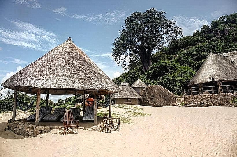
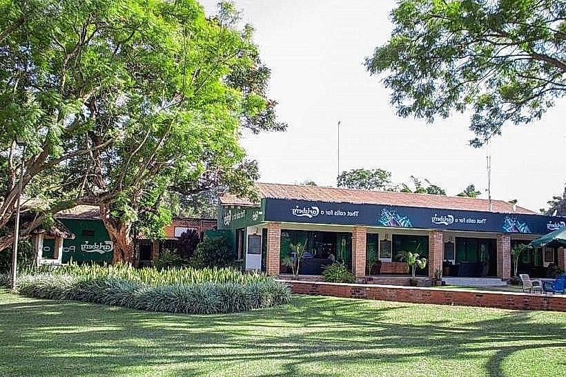
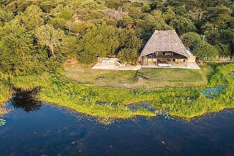
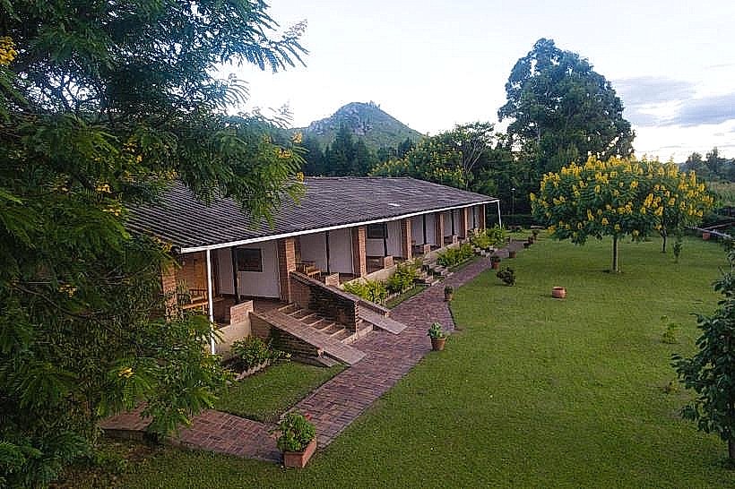
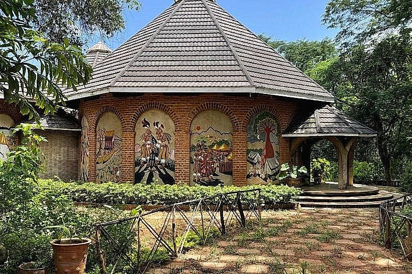
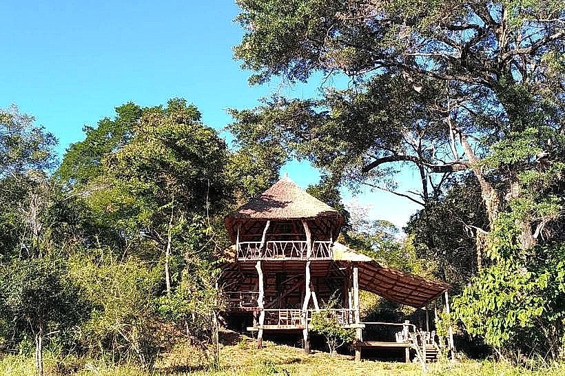
Developed amenities are concentrated exclusively around the centrally located Dzalanyama Forest House, an eco-lodge facility that offers permanent communal restroom blocks and four indoor guest rooms. Natural shade is dense and continuous beneath the woodland canopy, though vehicular tracks and firebreaks are fully exposed. Cellular telephone connectivity on 4G lines is weak and highly variable, disappearing entirely within the steep western mountain folds and deep river valleys. No commercial food vendors or supply shops exist within the 989-square-kilometer perimeter, requiring visitors to remain fully self-sufficient by transporting all provisions, fuel, and medical gear from Lilongwe.
Best Time to Visit
The ideal season for trail navigation, mountain biking, and general outdoor recreation occurs during the dry winter months from May to October, when daytime temperatures remain temperate between 19 and 23 degrees Celsius and paths are completely firm. The optimal period for avian tracking and photography corresponds with the early morning hours from 06:00 to 09:00, when forest bird activity peaks and soft, angled light filters through the miombo canopy. The heavy summer rainy season between November and April obscures trails with dense undergrowth and transforms the unpaved mountain access roads into deep mud, rendering passage highly problematic.
Facts & Legends
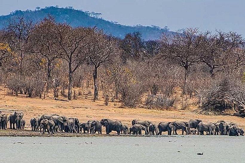
The name "Dzalanyama" translates directly from the native Chichewa language as "the place of animals," referencing the historic abundance of large mammalian herds that occupied the plateau prior to mid-century human expansion. Local environmental records indicate that while large game numbers have heavily decreased, the deep, undisturbed interior forests along the Mozambican boundary line still harbor active populations of secret leopards, spotted hyenas, and small herds of rare sable antelopes.
Nearby Landmarks
Makata Stream Rock Pools – 0.1km West
Kasito Rock Peak – 3.8km Northwest
Kamuzu Dam 1 Reservoir – 18.5km Northeast
Kamuzu Dam 2 Reservoir – 21.0km Northeast
Likuni Community Centre – 48.0km Northeast