Landmark: Capital Hill
City: Lilongwe
Country: Malawi
Continent: Africa
Capital Hill, Lilongwe, Malawi, Africa
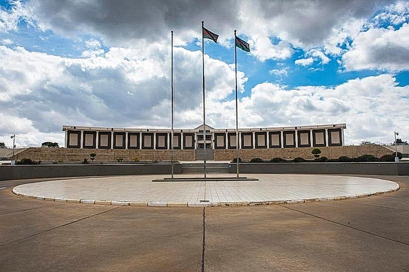
Capital Hill is a purpose-built administrative campus that serves as the official seat of the national government of Malawi. The master-planned complex houses the majority of the state ministries, civil service departments, and foreign diplomatic missions, positioned on an elevated plateau in the northern sector of the city.
Visual Characteristics
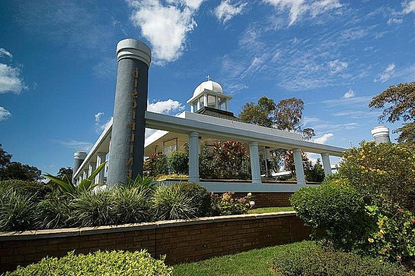
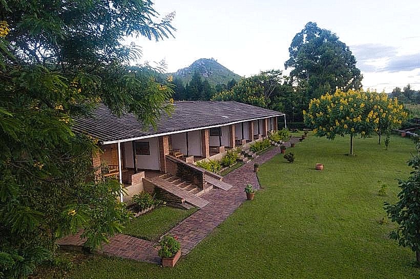
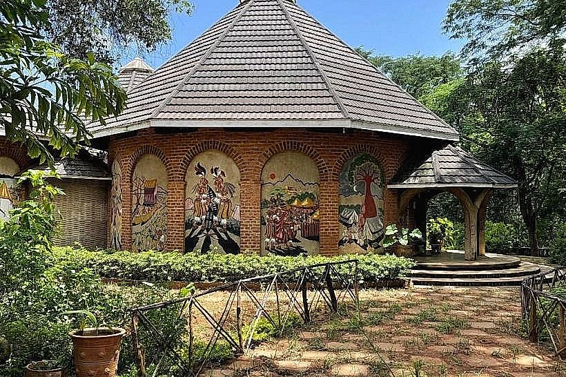
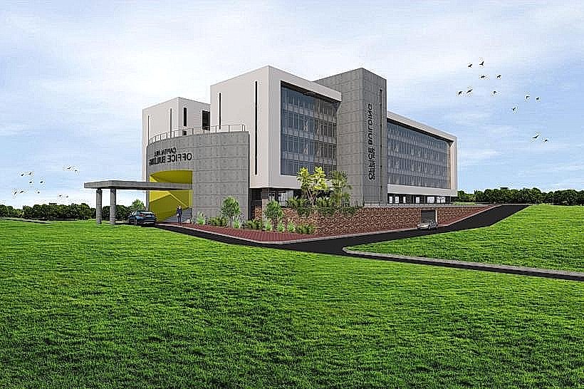
The district is characterized by mid-rise, geometric office blocks executed in the style of 1970s functional modernism. The buildings feature uniform red brick and cast concrete facades, deep-set windows designed to limit solar heat gain, and flat rooflines. The structures are arranged along wide, linear dual-carriageway avenues and are separated by expansive, manicured lawns, ornamental flower beds, and mature stands of indigenous and exotic trees. The interior configurations of the primary ministry buildings typically incorporate central open-air atriums and horizontal concrete louvers to maximize natural cross-ventilation.
Location & Access Logistics
The site is situated 2.2 kilometers north of the City Centre banking district and approximately 4.5 kilometers north of Old Town Lilongwe. The campus is bordered by Presidential Way to the south and Chiliro Road to the west, with primary internal thoroughfares including Capital Hill Road and Youth Drive. Multiple unpaved and paved parking plazas are distributed adjacent to each ministerial complex for civil service and visitor vehicles. Minibuses departing from the central Old Town terminal service Capital Hill directly, with passengers disembarking at designated transit stops along Presidential Way or the central loop.
Historical & Ecological Origin
The development of Capital Hill was initiated following the 1964 decision by President Dr. Hastings Kamuzu Banda to move the capital city from southern Zomba to a centralized location. The master plan for this dedicated administrative zone was drafted with financial and technical assistance from South African urban planners, with construction beginning in the late 1960s. The campus officially assumed full operational status as the national seat of government in January 1975, establishing a zoned urban layout that intentionally segregated political administration from the commercial markets of the older settlements.
Key Highlights & Activities
The primary public activity consists of architectural observation along the wide pedestrian avenues to view African modernist design applications. Educational walking tours around the perimeters of the core government structures, such as the Ministry of Foreign Affairs and the Ministry of Finance, allow for the study of planned mid-century civic layouts. The open green spaces and wooded boundaries flanking the office blocks provide opportunities for urban birdwatching, with several native raptor and passerine species nesting in the mature canopy.
Infrastructure & Amenities
Each ministerial block contains dedicated restroom facilities and service basements, though access is strictly restricted to staff and visitors with official appointments. Public shaded spaces are abundant under the large trees lining the main avenues, while the central plazas remain exposed to direct sunlight. Mobile telecommunications coverage is highly developed, providing consistent 4G and 5G network connections throughout the hill. Staff canteens operate within individual ministry compounds, and a central government cafeteria provides basic meal services to the public near the main treasury lot.
Best Time to Visit
The optimal period for structural photography is between 07:30 and 09:30, when clear morning light strikes the eastern brick facades before intense overhead glare develops. The campus is best visited during the dry winter months from May to August, when daytime temperatures remain stable between 20 and 23 degrees Celsius and walking conditions are favorable. The area experiences high vehicle and pedestrian congestion during standard operating hours from Monday to Friday, making weekends preferable for uninterrupted exterior viewing.
Facts & Legends
The spatial segregation of Capital Hill from the commercial zones of Lilongwe was a deliberate political and sociological strategy implemented by the early independence government to insulate state administration from civil unrest and market disruptions. Local civil servants note that the layout of the hill assigns specific symbolic hierarchy to the heights of the structures, ensuring no ministerial office block physically rises higher or commands more prominent topography than the nearby executive and legislative complexes.
Nearby Landmarks
Malawi Parliament Building – 1.1km Southeast
National War Memorial Tower – 1.2km Southeast
Kamuzu Mausoleum – 1.8km South
Lilongwe Nature Sanctuary – 2.4km South
Bingu International Conference Centre – 2.8km Southwest