Landmark: Mua Mission and Chamare Museum
City: Lilongwe
Country: Malawi
Continent: Africa
Mua Mission and Chamare Museum, Lilongwe, Malawi, Africa
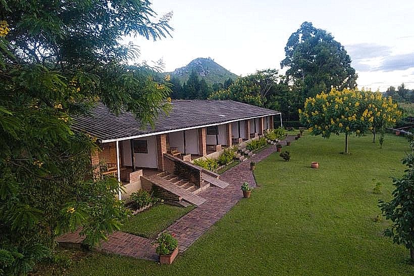
The Mua Mission and Chamare Museum complex is an international cultural heritage site, art cooperative, and ethnographic museum dedicated to the preservation of Malawian tribal traditions. The facility occupies a landscaped campus situated at the base of the Rift Valley escarpment in the village of Mua, positioned along the border of the Dedza and Salima districts.
Visual Characteristics
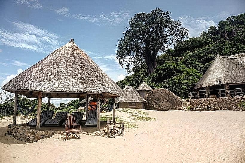
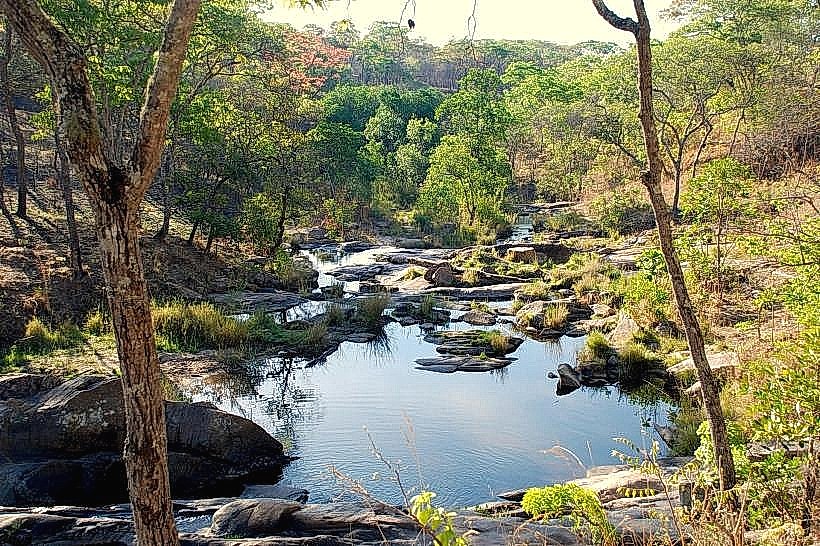
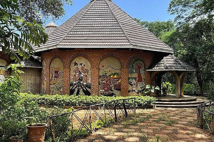
The complex features a distinct architectural layout comprised of four rounded, frescoed buildings that replicate traditional African rondavels. The structures utilize local red facing bricks, stone foundations, and thick grass thatched roofs, arranged circularly around a central concrete replica of an ancient baobab tree. The exterior walls are decorated with vibrant, hand-painted murals and high-relief concrete sculptures depicting scenes from local history and religious narratives. The interior galleries are characterized by wood-paneled display walls, vaulted timber ceiling supports, and low-ambient lighting designed to protect the sensitive organic materials of the exhibits. The campus integrates a botanical garden populated with indigenous tropical shrubs and tree lines that frame the nearby Nadzipokwe River and its natural stone waterfalls.
Location & Access Logistics
The mission is located approximately 60 kilometers south of Salima and 130 kilometers southeast of Lilongwe, positioned just off the main paved M5 lakeshore highway. Private vehicles approach the site by traveling along the M5 highway until reaching the clearly signed Mua turnoff, proceeding for 1.5 kilometers westward on a well-graded gravel access road directly to the central entry gate. Parking is accommodated within a cleared dirt and gravel plaza immediately adjacent to the reception building. Public transit users can board any inter-city bus operating along the lakeshore corridor between Salima and Balaka, exit at the Mua junction, and secure a local motorcycle taxi to complete the final 1.5-kilometer transit into the mission grounds.
Historical & Ecological Origin
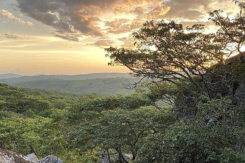
The Mua Mission was originally established in 1902 by the Missionaries of Africa, a Roman Catholic religious order commonly known as the White Fathers, to serve as a regional evangelical and medical station. In 1976, Canadian missionary Father Claude Boucher Chisale founded the KuNgoni Centre of Culture and Art on the property to research, record, and preserve local cultural practices while providing vocational art training. The Chamare Museum component was officially completed and opened to the public in 2000, named in honor of Father Jean-Baptiste Champmartin, an early missionary known locally by the Chewa phonetic adaptation "Chamare." Ecologically, the site sits on the fertile alluvial plain transitioning between the central highland plateau and the Lake Malawi basin, preserving a diverse pocket of riverine woodland flora.
Key Highlights & Activities
Visitors can complete guided or self-guided walks through the three primary exhibition halls of the museum, which analyze the distinct historical trajectories, social structures, and rites of passage of the Chewa, Ngoni, and Yao ethnic groups. The central attraction is a comprehensive structural archive of hundreds of authentic Gule Wamkulu masks and costume sets utilized by the Chewa secret societies, complemented by a detailed diorama representing Makewana, the historical female rainmaker. Observation of active woodcarving production is permitted at the open-air KuNgoni Carving Centre, where local artists forge elaborate relief panels from solid blocks of native timber. The adjacent art gallery and commercial showroom display finished sculptures and oil paintings available for direct procurement.
Infrastructure & Amenities
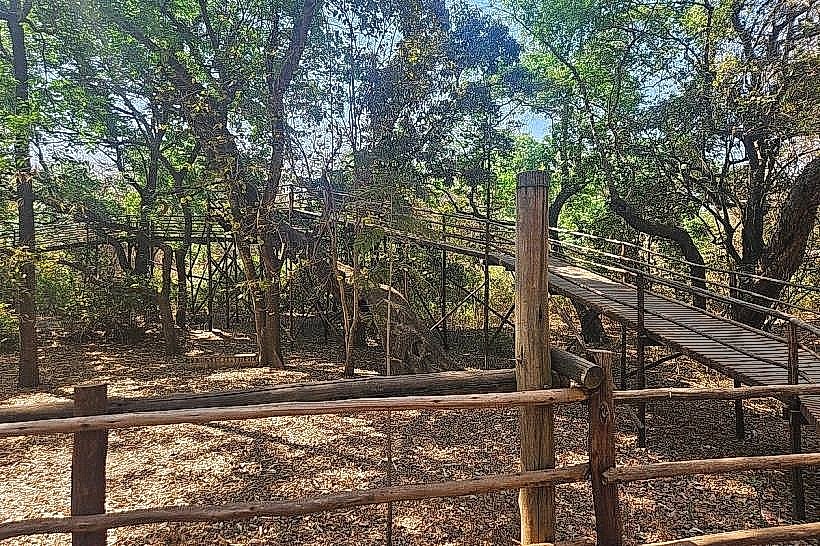
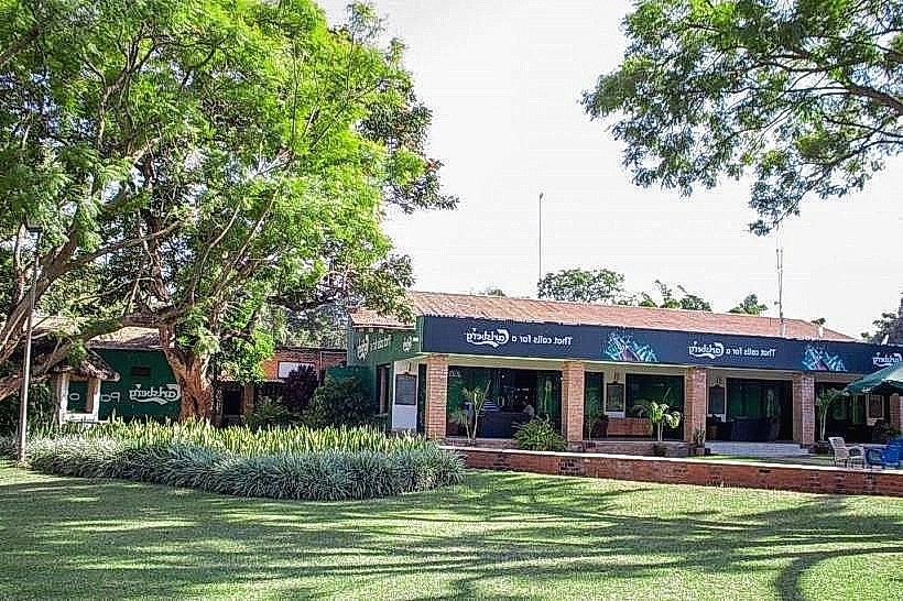
The visitor center contains permanent public restroom installations equipped with running water and basic sanitation provisions. Continuous natural shade is supplied by the mature botanical canopy and the broad, overhanging eaves of the thatched rondavel architecture, supplemented by covered wooden benches lining the walking paths. Mobile telecommunications connectivity is active, with stable 4G network signals blanketed across the central campus, though 5G infrastructure remains unavailable. No full-scale commercial restaurant operates inside the gates, but a basic snack shop sells bottled water and soft drinks, and visitors are permitted to utilize the open picnic lawns near the Nadzipokwe River banks.
Best Time to Visit
The optimal window for structural photography and workshop observation occurs during the morning hours from 08:30 to 11:30, when natural sunlight clearly illuminates the external wall frescoes and carvers are active in the outdoor workshops. The most favorable period for visiting corresponds with the dry winter season from May to October, when humidity levels drop to comfortable thresholds and daily temperatures average 22 to 26 degrees Celsius. The summer rainy season from November to April stimulates the surrounding vegetation but brings high ambient heat and occasional flash flooding along the river paths, which can restrict access to the lower garden tracks.
Facts & Legends
A deliberate architectural metaphor is embedded in the layout of the museum: the three main gallery houses specifically frame a central replica baobab tree to visually symbolize the three canvas tents pitched by the first pioneering White Fathers when they arrived at Mua in 1902. Photography is strictly prohibited within the interior mask galleries due to the sacred and restricted nature of the Gule Wamkulu materials, which are officially recognized by UNESCO as a Masterpiece of the Oral and Intangible Heritage of Humanity.
Nearby Landmarks
Nadzipokwe River Waterfall – 0.4km West
Mua Parish Historical Church – 0.6km North
Mtakataka Trading Centre – 4.5km South
M5 Lakeshore Highway Junction – 1.5km East
Chongoni Rock Art Area Boundary – 24.5km West