Landmark: Nkhotakota Wildlife Reserve
City: Lilongwe
Country: Malawi
Continent: Africa
Nkhotakota Wildlife Reserve, Lilongwe, Malawi, Africa
Nkhotakota Wildlife Reserve is a vast protected conservation area that stands as the oldest and largest wildlife reserve in Malawi. The reserve encompasses 1,800 square kilometers of rugged, low-intervention wilderness in the central-eastern region of the country, stretching from the edge of the Great Rift Valley escarpment down to the narrow coastal plains of Lake Malawi.
Visual Characteristics
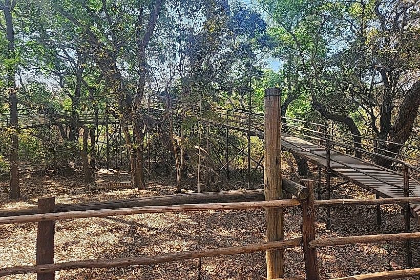
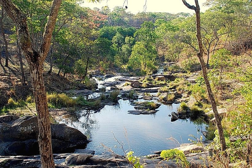
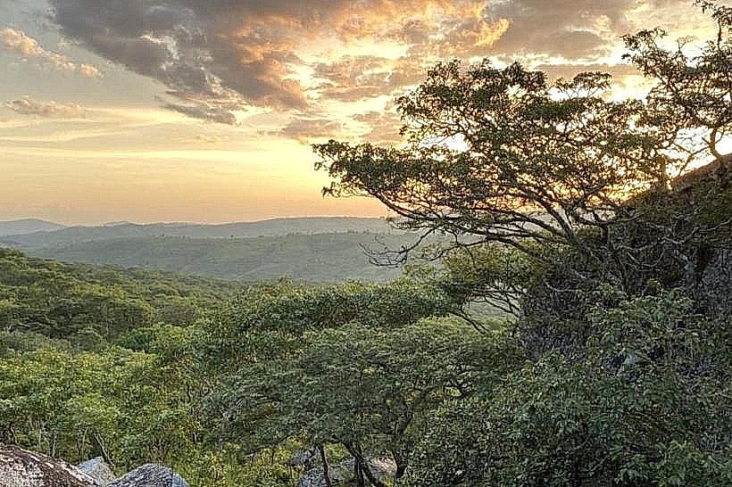
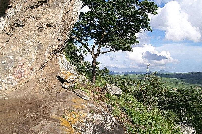
The topography is exceptionally rugged and wild, dominated by steep, deeply dissected slopes, rocky ridges, and sheer granite gorges carved by fast-flowing river channels. The primary landscape is composed of dense, closed-canopy miombo woodland featuring Brachystegia tree lineages and expansive patches of tall savanna grasses. This forest cover transitions to specialized dambo wetlands in the low-lying zones and thick, gallery-like riverine forests along the watercourses. The physical profile is anchored by the imposing silhouette of Chipata Mountain, which rises to an elevation of 1,638 meters and is capped by a distinct 44-hectare island of dark green, mid-altitude afromontane rainforest that contrasts sharply with the silver-grey granite outcrops and seasonal earth tones of the lower woodlands.
Location & Access Logistics
The reserve is located approximately 200 kilometers northeast of Lilongwe and immediately west of the coastal township of Nkhotakota. Primary vehicular access is achieved via the paved M5 lakeshore highway to Nkhotakota town, followed by a westward turn onto unpaved gravel and clay forestry tracks that penetrate the reserve boundaries. Due to the lack of developed internal roads, steep gradients, and sandy river crossings, a high-clearance four-wheel-drive vehicle is strictly required for all interior transit. There are no structured public minibus routes operating inside the reserve perimeter; commuters must secure public transit from Lilongwe to the central terminal in Nkhotakota town and arrange a private 4x4 charter or coordinate a light aircraft transfer to the operational airstrips managed by individual luxury eco-lodges.
Historical & Ecological Origin
The territory was originally established as a protected state game reserve under the British colonial administration in 1954, making it the oldest gazetted preservation zone in Malawi. Following decades of severe ecological decline and intense commercial poaching that decimated large mammal lines, the Government of Malawi entered into a long-term management partnership with the non-profit conservation organization African Parks in 2015. Geologically, the reserve forms a critical, high-integrity watershed basin where three major river systems-including the Bua River-cascade down the Rift Valley escarpment to supply fresh water directly to Lake Malawi, holding an ecological classification as an Important Bird Area.
Key Highlights & Activities
Guided wilderness walking safaris and multi-day mountain trekking expeditions up the slopes of Chipata Mountain constitute the primary activities, allowing for low-impact exploration of the remote afromontane canopy zones. The broad, deep pools of the Bua River facilitate wilderness canoeing and catch-and-release angling for the endemic lake salmon, locally known as Mpasa, during their annual upstream breeding migrations between April and June. Game viewing along specialized track networks reveals re-established populations of large herbivores, and birdwatching safaris track over 320 recorded avian species, including the giant kingfisher, palmnut vulture, and pale-billed hornbill.
Infrastructure & Amenities
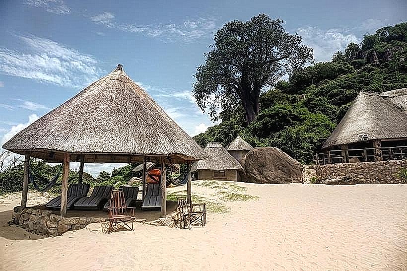
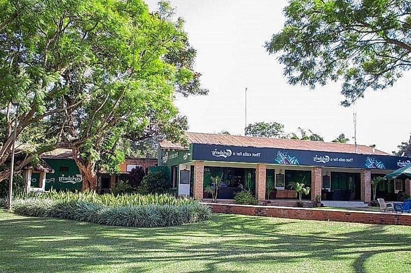
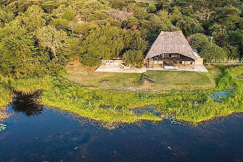
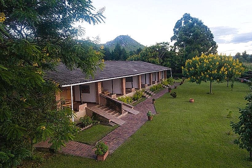
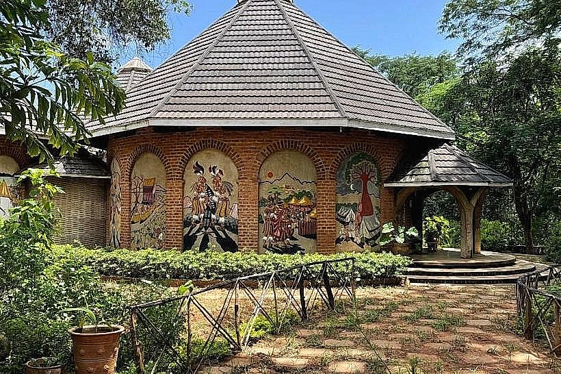
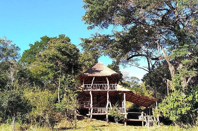
Visitor infrastructure is low-intervention and concentrated near the major luxury eco-lodges, such as Tongole Wilderness Lodge and Bua River Lodge, which feature permanent restroom blocks, dining pavilions, and secure platform clearings. Natural shade is continuous and dense beneath the miombo forest canopy and riverine thickets, though the open dambo plains and elevated granite ridges are entirely exposed. Mobile communication signals are exceptionally weak and highly variable, with basic 4G network connectivity confined to the main administrative entrance gates and high mountain ridges, while 5G infrastructure is completely unavailable. There are no commercial fuel stations, mechanical workshops, or grocery supply points within the 1,800-square-kilometer perimeter, requiring self-drive visitors to enter fully self-sufficient with all necessary provisions and reserve fuel stocks hauled from Nkhotakota town or Dwangwa.
Best Time to Visit
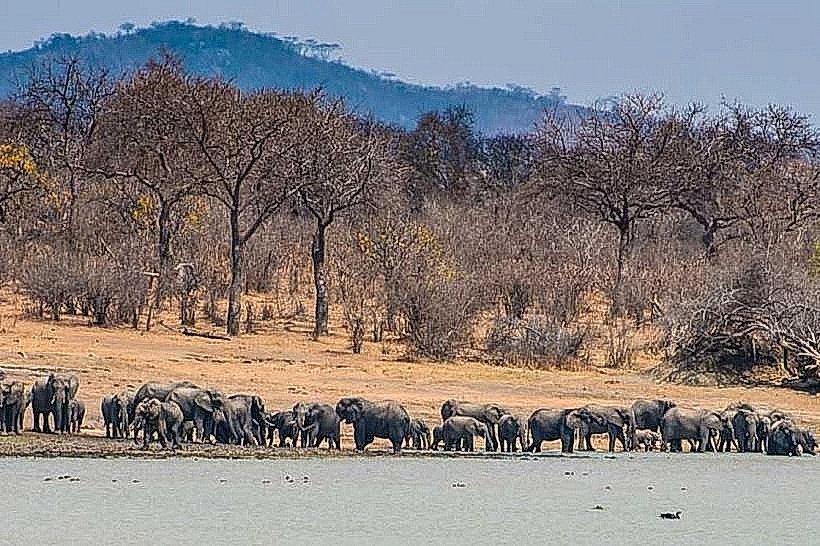
The optimal window for wildlife tracking and structural landscape photography corresponds with the dry winter season from May to October, when the miombo canopy thins significantly and animal herds consistently aggregate around the permanent pools of the Bua River valley. Early morning hours between 06:00 and 09:30 offer favorable ambient temperatures and optimal lighting conditions for observing elephant movements before midday heat causes the herds to retreat into deep ravines. The heavy tropical rainy season from November to April stimulates lush green vegetation but introduces severe downpours that cause flash flooding along the river gorges and render the dirt track system completely impassable.
Facts & Legends
The reserve is famous for hosting one of the largest transnational wildlife translocation initiatives in conservation history, highlighted by the massive movement of 520 elephants and over 2,000 other large mammals from southern parks to repopulate Nkhotakota's empty forests after poaching had reduced the native elephant numbers to fewer than 100 individuals. Local historical records link the surrounding district to nineteenth-century Arab-Swahili slave trading routes, where the deep, rugged interior valleys of the reserve served as traditional smuggling corridors to transport captured populations covertly toward the deep-water ports of Lake Malawi.
Nearby Landmarks
Bua River Gorges – 0.1km East
Chipata Mountain Peak – 4.2km West
Nkhotakota Slave Trade Historical Tree – 14.5km East
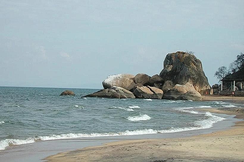
Lake Malawi Western Shoreline – 16.2km East
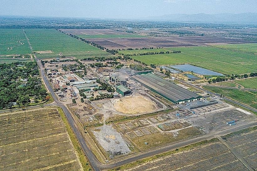
Dwangwa Sugar Estate Complex – 48.0km North