Landmark: Chongoni Rock Art Area
City: Lilongwe
Country: Malawi
Continent: Africa
Chongoni Rock Art Area, Lilongwe, Malawi, Africa
The Chongoni Rock Art Area is an extensive archaeological site and protected cultural zone containing the densest cluster of prehistoric rock art in Central Africa. The landmark encompasses 127 distinct rock shelter sites spread across 126.4 square kilometers of rugged plateau hills within the Dedza District, located in the Central Region of Malawi.
Visual Characteristics
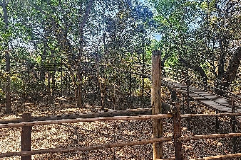
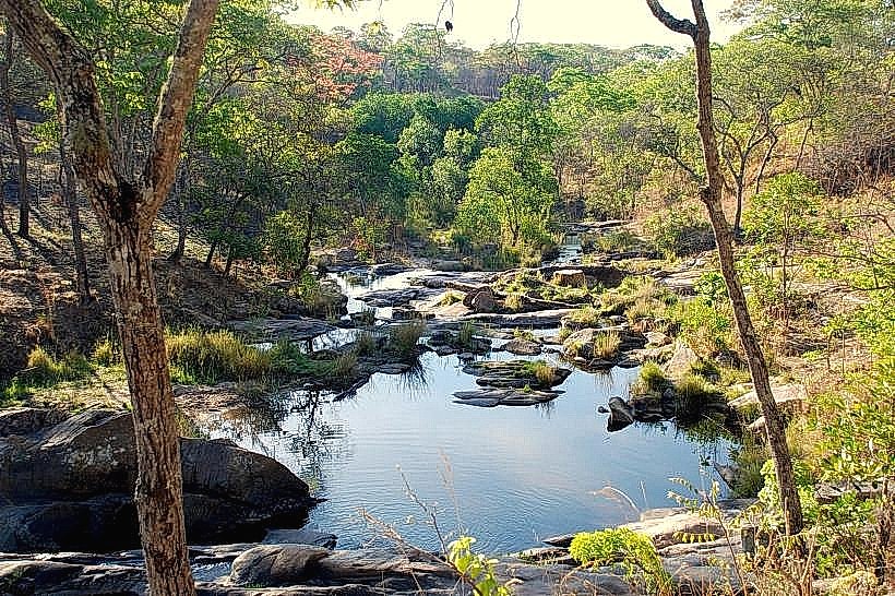
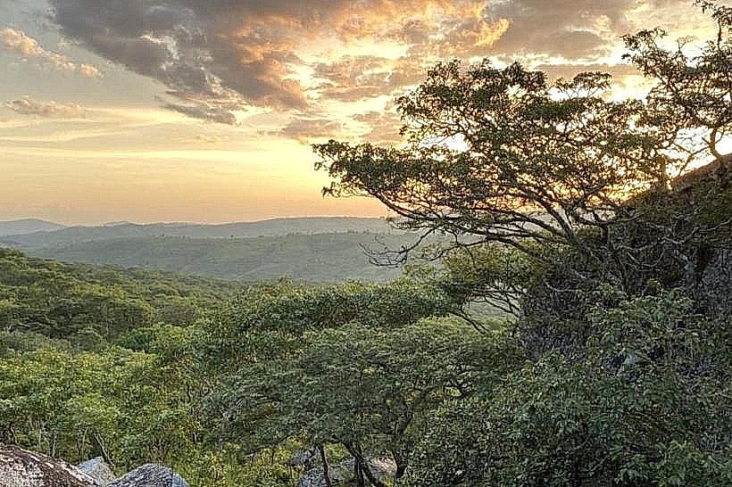
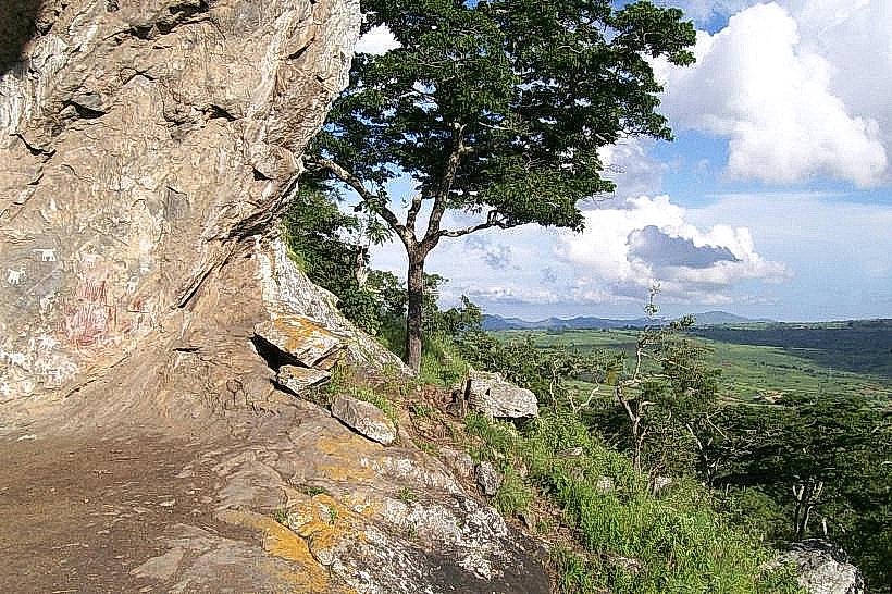
The area is characterized by massive, weathered granite inselbergs and forested mountain slopes rising up to 1,600 meters above sea level. The rock art is situated within natural granite rock shelters, shallow caves, and beneath projecting stone overhangs that provide shelter from environmental elements. The artwork displays two distinct color profiles and stylistic traditions: an older layer of fine-lined red geometric patterns, circles, and stylized animal drawings, superimposed by a more recent tradition of thick white figures and naturalistic zoomorphic symbols painted with white clay. The surrounding landscape consists of a mixture of commercial pine plantations, native Brachystegia miombo woodland, and pockets of evergreen forest growing on the high rock faces.
Location & Access Logistics
The main concentration of rock art sites is situated roughly 80 kilometers southeast of Lilongwe and 10 kilometers northwest of Dedza town, running parallel to the main M1 highway. Private vehicles approach the area via dirt tracks branching west off the M1 highway near the Chongoni Forestry College or the Dedza Pottery junction. Navigating the unpaved rural roads to specific trailheads requires high-clearance vehicles due to rough surfaces and structural damage on minor stream crossings. Public transport commuters can take an inter-city bus from Lilongwe toward Dedza, disembark at the designated Chongoni or Dedza junctions on the M1, and arrange a private local motorcycle taxi or local guide to navigate the final 3 to 5 kilometers of unpaved tracks to the base of core sites like Chentcherere, Namzeze, or Mphunzi.
Historical & Ecological Origin
The oldest red geometric paintings are attributed to the BaTwa Pygmy hunter-gatherer communities who occupied the central Malawi plateau during the Late Stone Age, with regional archaeological artifacts dating back more than 2,500 years. The white clay paintings were created by Bantu-speaking Chewa agriculturalists who migrated into the region from the north during the transition to the Early Iron Age in the first millennium AD. The site was formally gazetted as a state forest reserve in 1924 to protect the highland watershed, and in 2006, the 12,640-hectare core zone was officially inscribed as a UNESCO World Heritage Site due to its exceptional testimony to regional ritual traditions and cultural transitions.
Key Highlights & Activities
Hiking along rugged, unpaved pedestrian footpaths and goat tracks to access the primary public viewing sites-specifically the Chentcherere hills shelters, the Namzeze cleft, and the Mphunzi mountain faces-constitutes the main activity. Visitors can examine the prehistoric paintings and photograph the sweeping views of the agricultural valleys from the elevated cave entrances. Birdwatching and casual wilderness trekking are active along the woodland margins, where species associated with Brachystegia ecosystems nest. The sites also serve an active spiritual function, as select shelters are still utilized by the local Chewa Nyau secret society for sacred initiation ceremonies and rain-making rituals.
Infrastructure & Amenities
The landmark operates as a low-intervention archaeological zone and completely lacks centralized visitor centers, formal ticketing desks, or public restroom facilities at the individual rock faces. Overhead shade is continuous inside the natural stone shelters and beneath the forest canopy, though the approach tracks running through local cornfields are fully exposed to solar radiation. Mobile telecommunications connectivity is variable, with 4G network signals active near the outer M1 highway perimeter but dropping significantly within deep rock clefts and along western hill profiles. No commercial food vendors or water stations operate at the trailheads, meaning visitors must be fully self-reliant and pack in all necessary provisions, or secure hospitality services at the commercial lodges in nearby Dedza town.
Best Time to Visit
The optimal time for detailed photography and trail trekking is during the cool, dry winter months from May to August, when daytime temperatures hover between 18 and 22 degrees Celsius and clear skies eliminate rain risks. Morning tracking between 08:00 and 11:00 provides favorable ambient light conditions that illuminate the rock shelters without creating the severe surface glare typical of midday. The heavy summer rainy season from November to April creates thick trail undergrowth and transforms the clay mountain footpaths into slick mud, making the steep climbs to the cave entrances hazardous.
Facts & Legends
The white clay paintings possess deep socio-religious codes connected directly to the Nyau secret society and masked dancers of the Chewa people, functioning as a secret graphic system used to instruct young women and men during secret traditional bush initiations. Local guides emphasize that despite historic suppression by nineteenth-century Ngoni invaders, Christian missionaries, and British colonial administrators, the secret preservation of these painting sites allowed the continuous transmission of Chewa cultural cosmology directly into the twenty-first century.
Nearby Landmarks
Chongoni Forestry College Campus – 1.5km Northeast
Dedza Pottery and Lodge Complex – 8.2km Southeast
Dedza Mountain Forest Reserve Peak – 11.5km Southeast
Mua Mission Cultural Centre – 24.5km East
Dzalanyama Forest Reserve Boundary – 38.0km Northwest