Landmark: Ntchisi Forest Reserve
City: Lilongwe
Country: Malawi
Continent: Africa
Ntchisi Forest Reserve, Lilongwe, Malawi, Africa
The Ntchisi Forest Reserve is a sprawling montane preservation zone that protects one of the last remaining tracts of indigenous rainforest in Malawi. The reserve encompasses approximately 75 square kilometers of rugged, high-altitude terrain situated on the Ntchisi Mountain ridge in the central region of the country.
Visual Characteristics
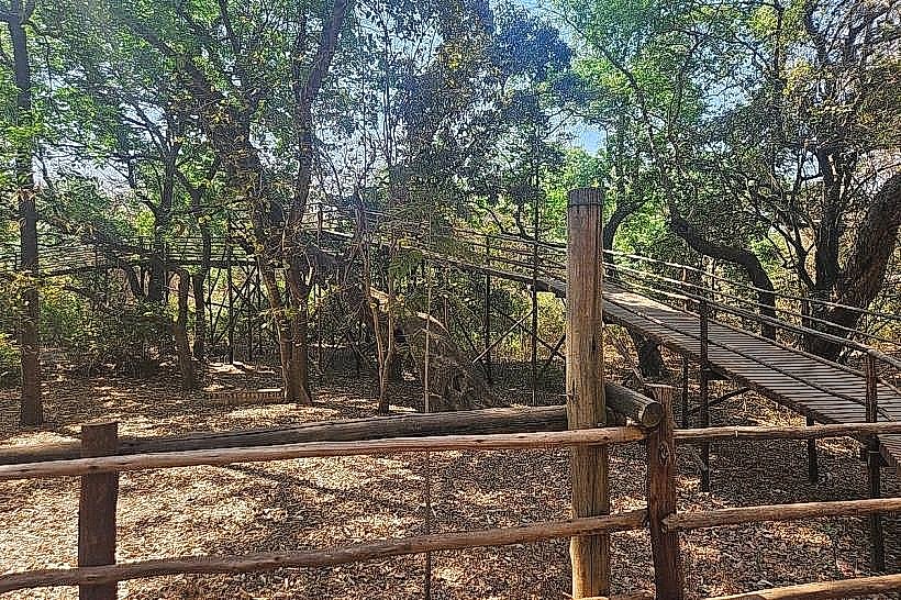
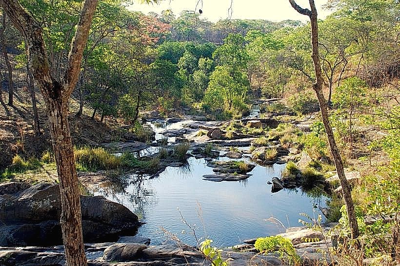
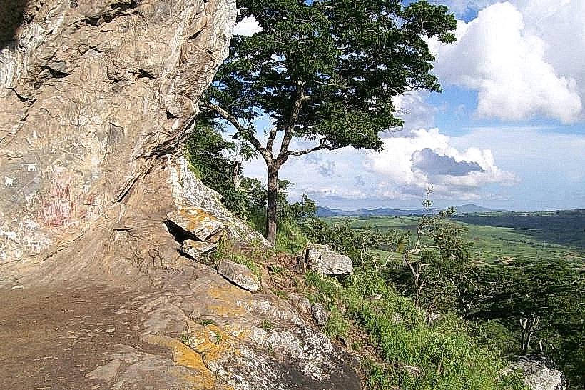
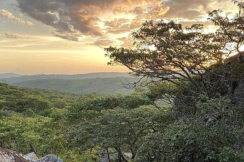
The landmark features an abrupt transition between dense, sub-montane evergreen rainforest and sprawling miombo woodland zones. The primary forest canopy rises up to 30 meters, characterized by massive Newtonia and strangler fig trees draped in epiphytic orchids, mosses, and lianas. The forest floors are covered by thick layers of decomposing organic matter and vast colonies of ferns that thrive along steep granite slopes and ravines. The structural color palette shifts between deep forest greens, dark volcanic soils, and the silver-grey tones of weathered granite outcrops that project through the upper canopy line at elevations exceeding 1,600 meters.
Location & Access Logistics
The reserve is located approximately 95 kilometers north of Lilongwe and 30 kilometers from the district township of Ntchisi. Accessing the site by vehicle requires navigating north from Lilongwe via the M1 highway, turning eastward onto the S113 road toward Ntchisi Boma, and continuing along an unpaved gravel road that ascends the mountain ridge. Due to the steep terrain and loose clay surface, a high-clearance four-wheel-drive vehicle is required to navigate the final 12 kilometers to the forest interior. Public minibus transit runs from Lilongwe to Ntchisi Boma, from which visitors must hire a private motorcycle or local taxi to reach the reserve boundary.
Historical & Ecological Origin
The territory was originally gazetted as a state forest reserve by the British colonial administration in 1925 to check the rapid deforestation of the central highland water catchments. It holds a distinct ecological classification as an isolated montane forest island surrounded by intensive agricultural land. The reserve acts as a critical biological refuge for central African flora and fauna, protecting vulnerable water sources that flow into the larger Lake Malawi drainage basin.
Key Highlights & Activities
Hiking along the marked networks of single-track wilderness paths represents the primary public activity, with trails leading to the peak of Ntchisi Mountain at 1,702 meters. The reserve is an established hotspot for birdwatching, providing habitats for rare endemic species such as the white-tailed crested flycatcher and the olive-headed weaver. Controlled wilderness trekking, orchid identification walks, and multi-day guided canopy tours can be conducted under the supervision of community forestry scouts stationed at the primary eco-lodge base.
Infrastructure & Amenities
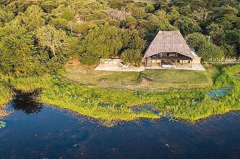
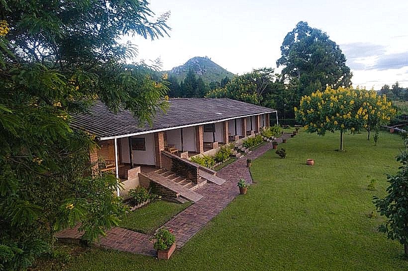
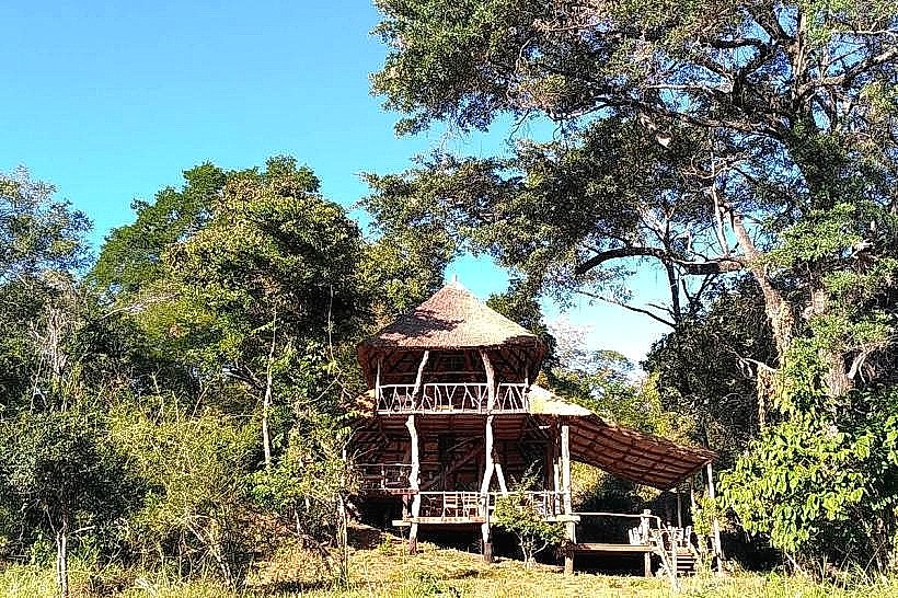
Developed amenities are limited to the immediate perimeter of the Ntchisi Forest Lodge, which houses basic restroom facilities and a small dining setup for overnight guests. The interior forest loops offer continuous natural shade under the dense tree canopy, though the mountain peaks are completely exposed. Cellular phone reception is highly inconsistent, with weak 4G signals accessible only on open ridges, while 5G coverage is entirely absent. No commercial shops or food vendors operate within the 75-square-kilometer reserve, requiring visitors to transport all food, potable water, and vehicle fuel supplies directly from Lilongwe or Ntchisi Boma.
Best Time to Visit
The ideal time for trail navigation and structural landscape photography occurs during the dry winter season from May to September, when temperatures range from 16 to 22 degrees Celsius and trail conditions are firm. Morning hours between 06:30 and 09:30 offer optimal lighting conditions for observing canopy birds and capturing forest landscapes without mist distortion. The wet summer season from November to April introduces torrential downpours that shroud the montane peaks in heavy fog and render the clay access roads impassable for standard vehicles.
Facts & Legends
Local oral histories indicate that the deep rocky caves tucked into the eastern cliffs of the mountain served as critical strategic hideouts for the local Chewa populations during nineteenth-century raids by Ngoni warriors. Local forest guides emphasize that the isolated nature of the montane habitat has allowed several unique subspecies of butterflies and terrestrial snails to evolve independently within the reserve boundaries, completely detached from lowland populations.
Nearby Landmarks
Ntchisi Mountain Peak – 1.2km North
Ntchisi Forest Lodge – 1.5km South
Mndalasini Waterfall – 3.4km Southeast
Ntchisi Boma Administrative District – 28.0km Southwest
Nkhotakota Wildlife Reserve Boundary – 34.0km Northeast