Landmark: Ar Raddah Ruins
City: Nizwa
Country: Oman
Continent: Asia
Ar Raddah Ruins, Nizwa, Oman, Asia
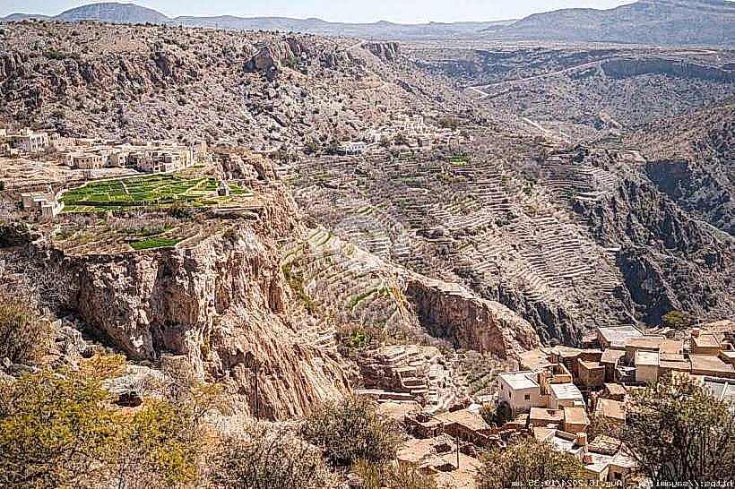
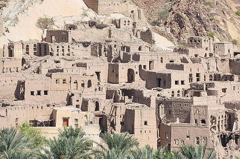
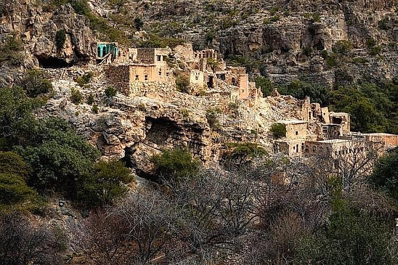
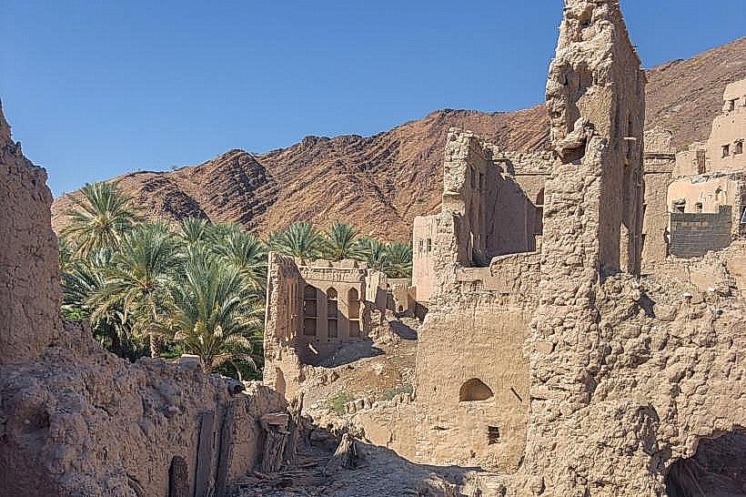
The Ar Raddah Ruins refer to the historical structures surrounding the Bait Al Raddah fort, located in the village of Birkat Al Mouz at the base of Jabal Akhdar. This site represents a strategic defensive and residential cluster that once guarded the entrance to the mountain pass.
Visual Characteristics
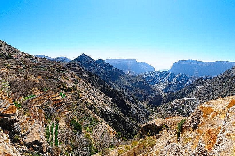
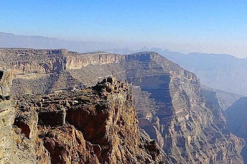
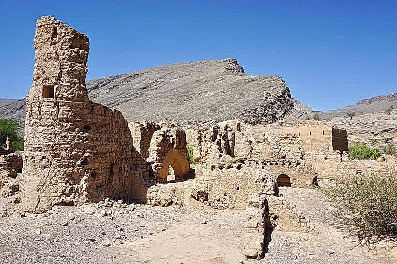
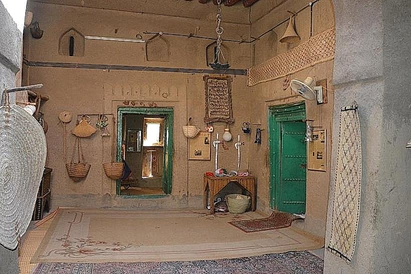
The ruins are dominated by the Bait Al Raddah fort, a large, rectangular stone and mud-brick fortification featuring rounded corner towers. Surrounding the fort are the skeletal remains of traditional two-story houses, characterized by thick earthen walls and wooden beam supports. The site is integrated into the foothills, with the grey limestone of the Hajar Mountains rising immediately behind the tan-colored ruins.
Location & Access Logistics
The ruins are situated in Birkat Al Mouz, approximately 150km from Muscat and 22km from Nizwa.
Navigation: Located off the main road leading to the Jabal Akhdar checkpoint.
Parking: A paved parking area is available near the Birkat Al Mouz mosque, within a 5-minute walk of the ruins.
Accessibility: The exterior and the surrounding village paths are easily accessible by 2WD. Entry into the ruins themselves requires navigating uneven, rocky terrain on foot.
Historical & Ecological Origin
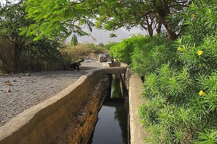
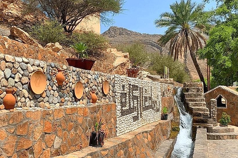
The site dates primarily to the 17th century, significantly expanded during the Yaruba Dynasty. Bait Al Raddah served as a secondary administrative and defensive center for the region. A critical ecological and engineering feature is the Falaj Al Khatmayn, which flows directly through the fort’s lower levels. This provided the inhabitants with a secure, internal water supply-a vital strategic advantage during sieges.
Key Highlights & Activities
Fort Architecture: Observation of the defensive slits, heavy timber doors, and the integration of the falaj system into the building's foundation.
Photography: The site provides a framed view of the Jabal Akhdar massif through the archways and collapsed windows of the old houses.
Village Walk: The ruins are part of a larger heritage walk that connects to the Harat al Burj ruins and the extensive date palm groves.
Infrastructure & Amenities
Services: Minimal infrastructure is present at the ruins to preserve their state.
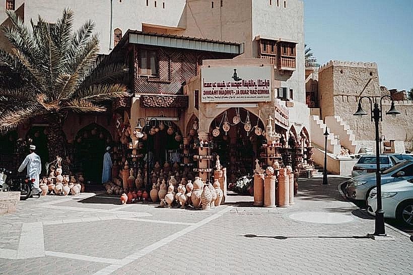
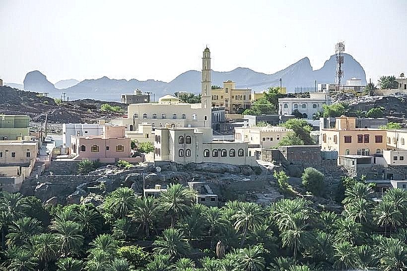
Proximity: The modern village of Birkat Al Mouz is adjacent, offering fuel stations, grocery stores, and local cafes.
Connectivity: 5G and 4G cellular signals are consistently strong throughout the site.
Best Time to Visit
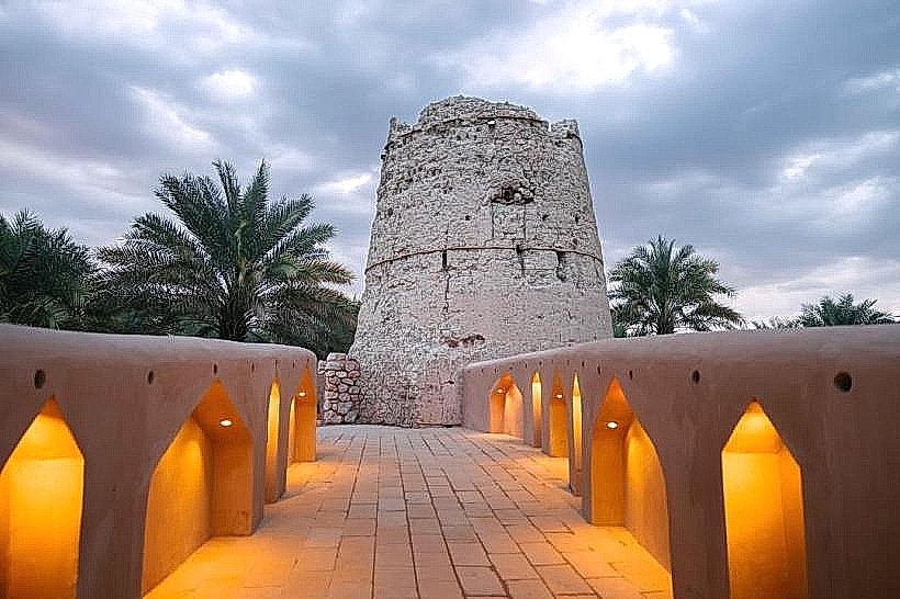
Winter months (November to March) are optimal for exploration. For photography, the late afternoon light highlights the texture of the sarooj (traditional Omani mortar) and the mud-brick facades. The site is illuminated by modern streetlights at night, though the interior of the ruins is only safe to explore during daylight.
Facts & Technical Details
A unique technical detail of Ar Raddah is its "triple split" water distributor located nearby. This device ensures that the mountain water is divided with mathematical precision between the fort, the community, and the plantations. The fort's walls are exceptionally thick at the base, tapering as they rise-a design intended to lower the center of gravity and provide stability against both seismic activity and artillery.
Nearby Landmarks
Falaj Al Khatmayn – 0.1km South
Harat al Burj (Old Ruins) – 0.5km North
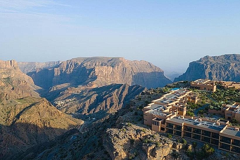
Jabal Akhdar Checkpoint – 5.0km North
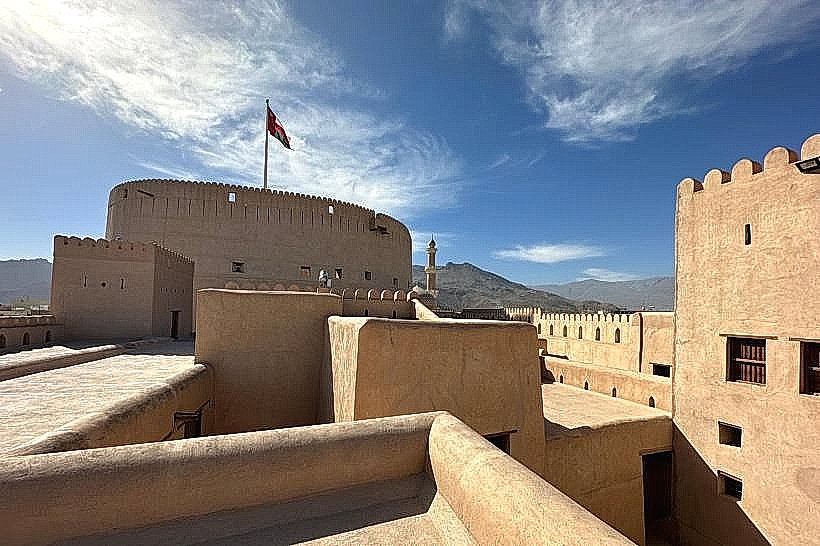
Nizwa Fort – 22km West
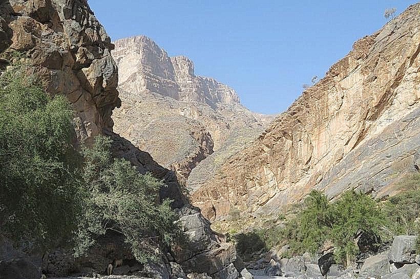
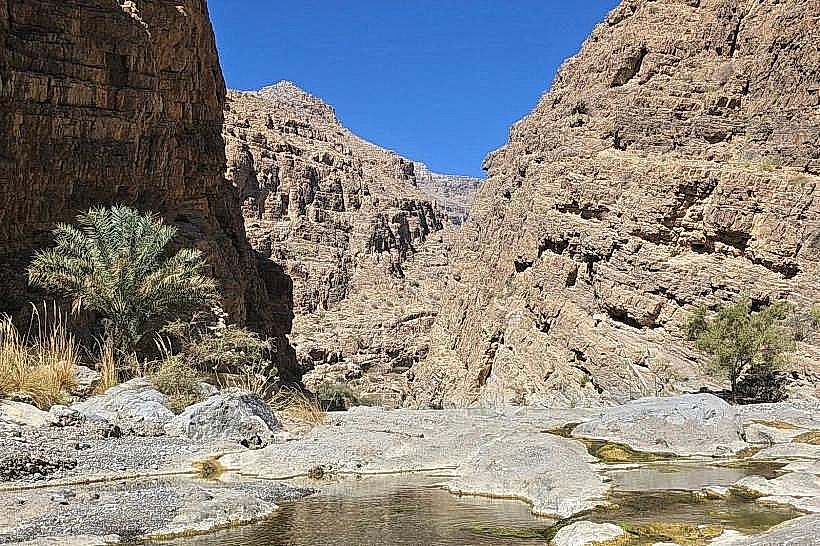
Wadi Muaydin – 2.0km North