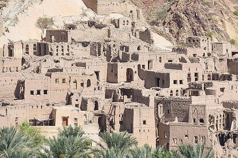
Landmark: Misfat Al Abriyeen
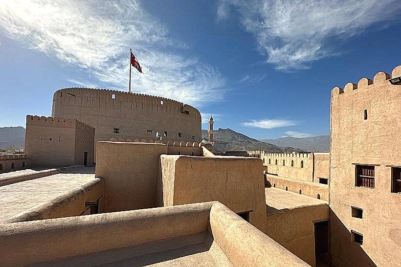
City: Nizwa
Country: Oman
Continent: Asia
Misfat Al Abriyeen, Nizwa, Oman, Asia
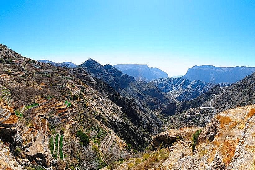
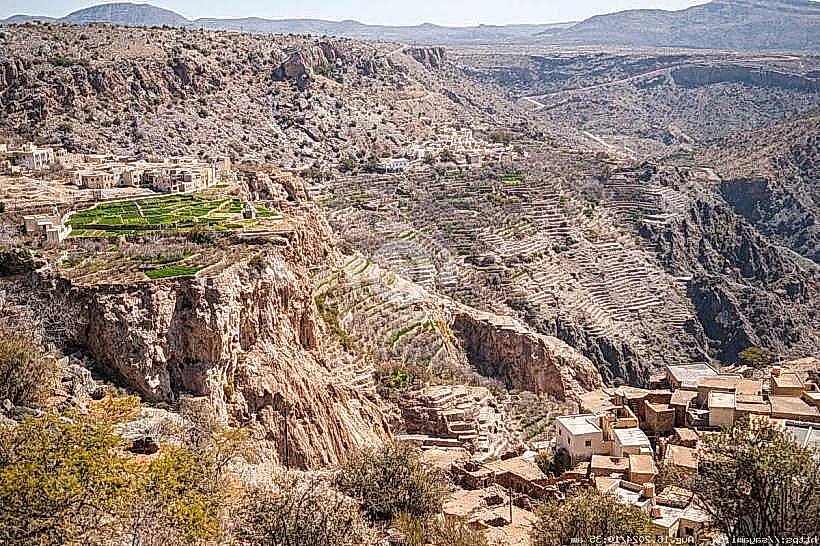
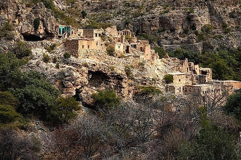
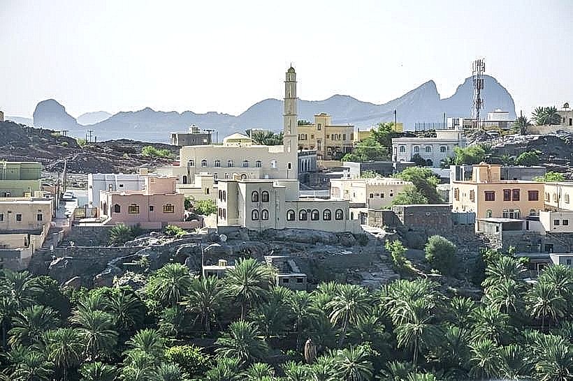
Misfat Al Abriyeen is a historic mountain village situated in the Wilayat of Al Hamra, within the Ad Dakhiliyah Governorate of Oman. It is located approximately 1,000 meters above sea level on the southern slopes of the Hajar Mountains.
Visual Characteristics
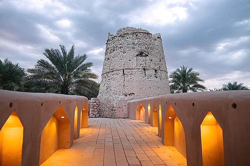
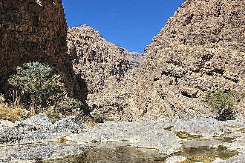
The village is defined by its ancient mud-brick and stone architecture, with multi-story houses built directly into the steep limestone cliffs. The surrounding landscape features narrow, winding alleys and a dense oasis of terraced plantations including date palms, citrus trees, and bananas. The verticality of the settlement and the contrasting green of the foliage against the tan and grey rock faces are its primary visual identifiers.
Location & Access Logistics
Access is via the town of Al Hamra, followed by a steep, paved road that ascends for approximately 6km. While the road is fully paved and accessible by 2-wheel-drive vehicles, caution is required due to the incline and narrow turns. Visitors must park in the designated public lot at the village entrance, as the interior consists entirely of narrow pedestrian paths. Taxis operate from Al Hamra, but no direct public bus service exists.
Historical & Ecological Origin
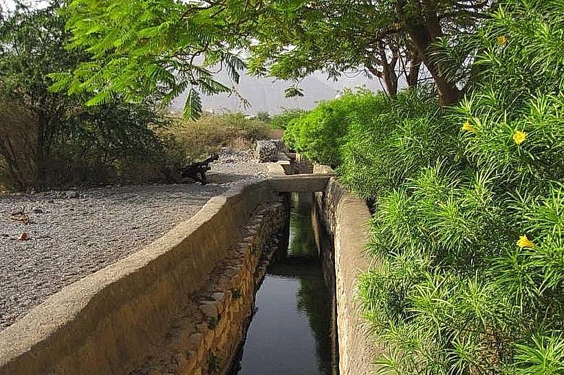
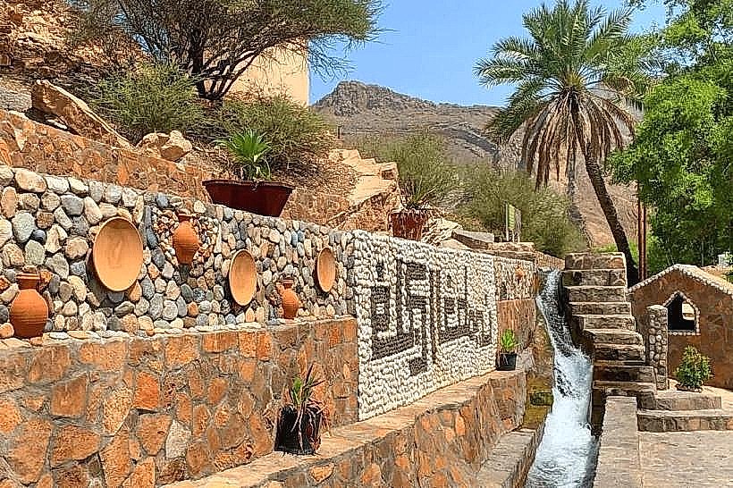
The village is named after the Al Abri tribe, who have inhabited the site for several centuries. It is an exemplary model of traditional Omani mountain habitation, utilizing a Falaj irrigation system that is hundreds of years old. The settlement's ecology is sustained by these gravity-fed water channels, which tap into mountain springs to provide a year-round water supply for the terraced agriculture.
Key Highlights & Activities
Walking through the narrow labyrinthine alleys of the old village is the primary activity, offering a direct view of historical Omani engineering.
The Village Walk: A marked trail leads through the houses and into the agricultural terraces, allowing visitors to see the intricate water distribution system.
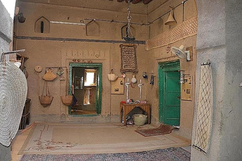
Heritage Guesthouses: Several restored traditional houses, such as Misfah Old House, provide opportunities to experience local hospitality and traditional cuisine.
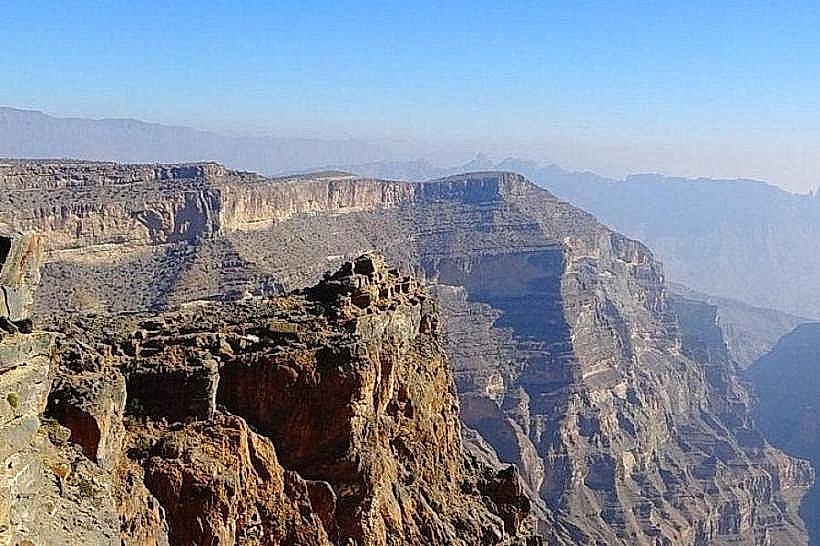
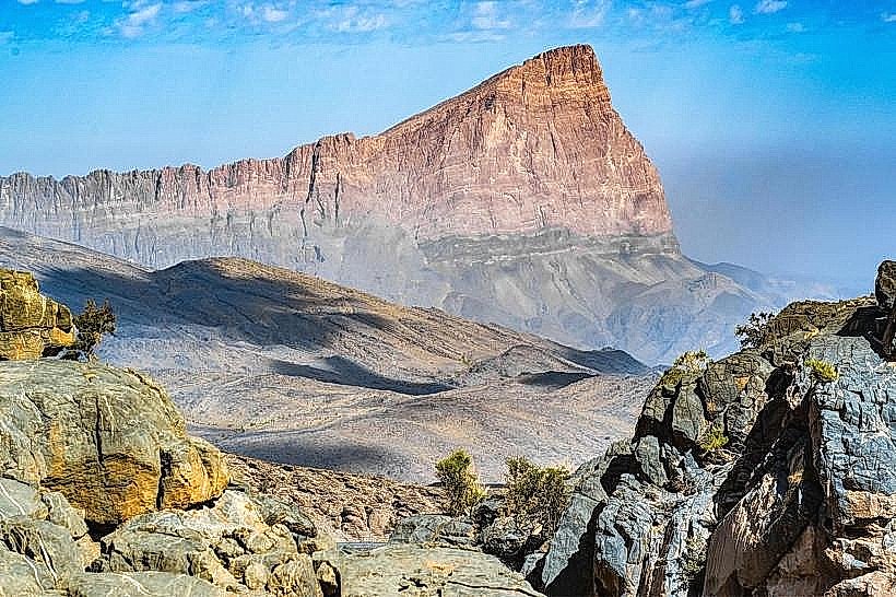
Hiking: The W11 and W11a trails connect the village to higher points in the Hajar Mountains and toward the Sharaf Al Alamayn plateau.
Infrastructure & Amenities
The village has evolved into a tourism hub and includes several essential facilities.
Public restrooms are located near the main entrance parking area.
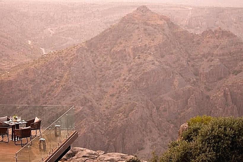
Multiple boutique guesthouses and rooftop cafes offer refreshments and traditional meals.
4G and 5G cellular signals are consistently strong across the village.
Signage is provided throughout the village paths to guide visitors along the heritage route.
Best Time to Visit
The winter months from October to March offer the most comfortable temperatures for walking and hiking. For photography, the early morning or late afternoon provides the best light to emphasize the textures of the mud-brick walls and the depth of the valley. The village remains cooler than the coastal plains year-round due to its elevation.
Facts & Legends
A unique local rule requires visitors to respect the privacy of the remaining residents by sticking to marked paths and dressing modestly. A specific technical "secret" is the Falaj Misfat, which features a complex series of stone gates that regulate water flow to different sections of the terraces based on a rigorous time-sharing schedule that has remained largely unchanged for generations.
Nearby Landmarks
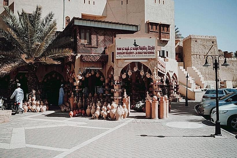
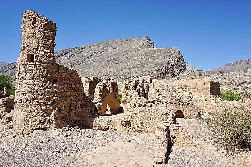
Al Hamra Old Town - 6km South
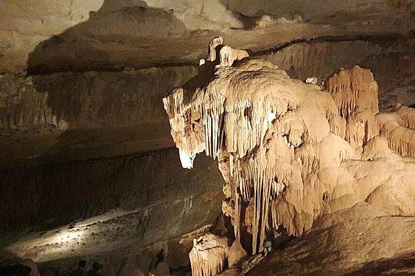
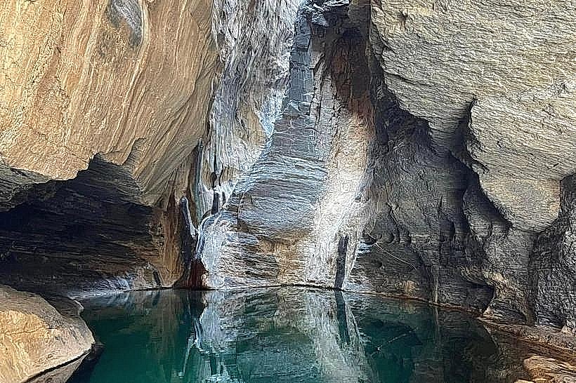
Al Hoota Cave - 12km West
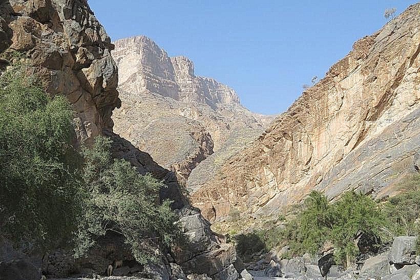
Jebel Shams - 22km North-West
Wadi Ghul - 15km North-West
Bahla Fort - 25km South