Landmark: Wadi Muaydin
City: Nizwa
Country: Oman
Continent: Asia
Wadi Muaydin, Nizwa, Oman, Asia
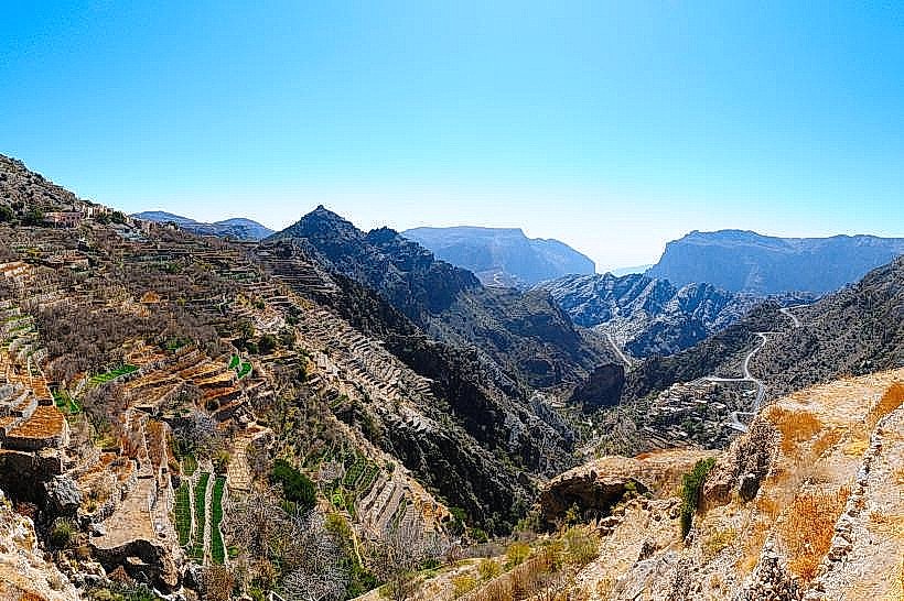
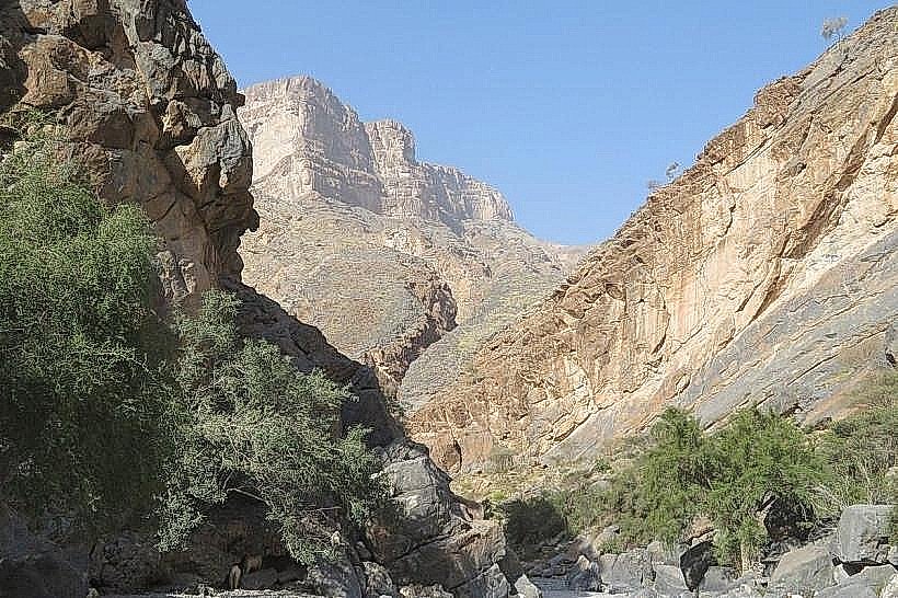
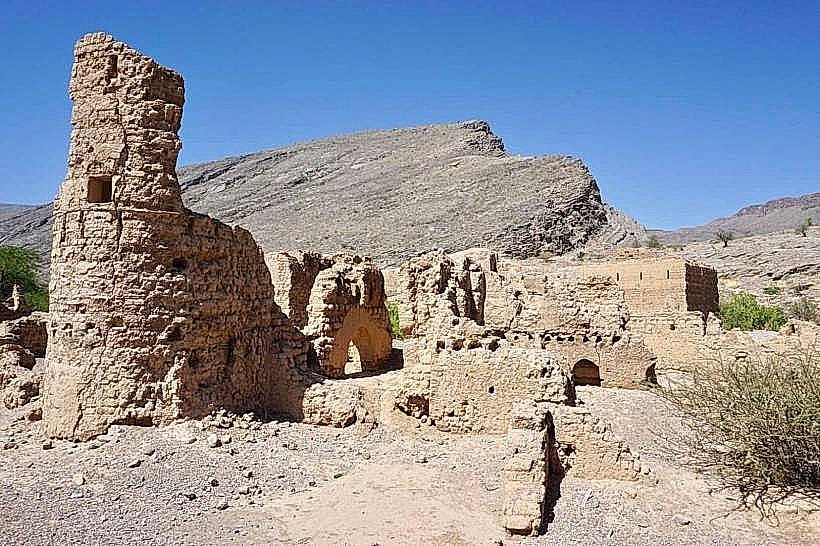
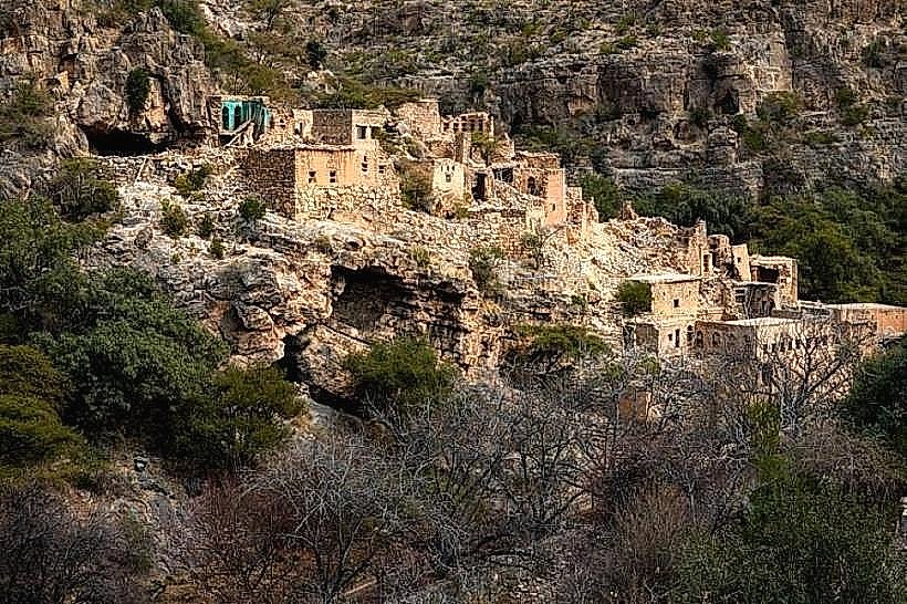
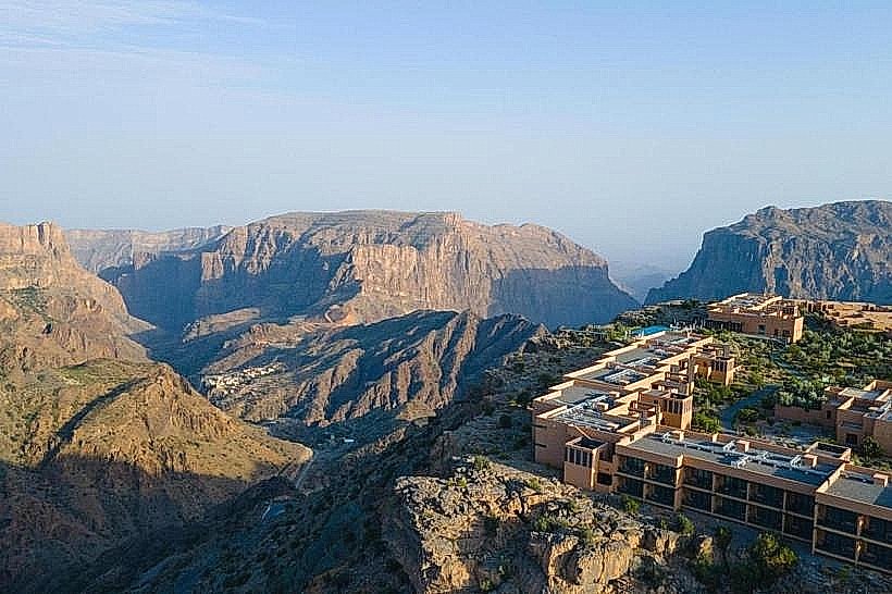
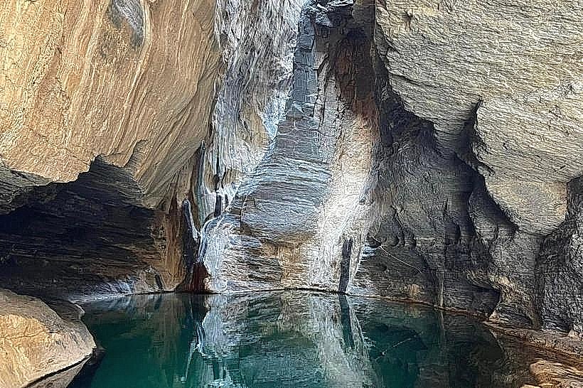
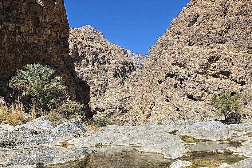
Wadi Muaydin is a prominent canyon and seasonal riverbed located at the base of the Jabal Akhdar mountain range, near the village of Birkat Al Mouz. It serves as one of the primary drainage basins for the Saiq Plateau, funneling rainwater from the high-altitude peaks down toward the interior plains of the Ad Dakhiliyah Governorate.
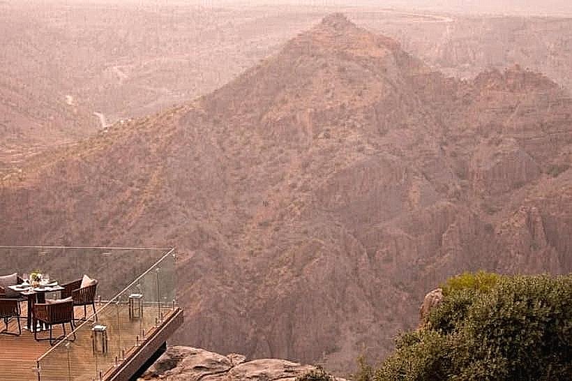
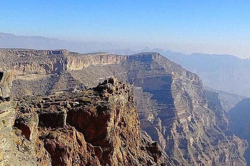
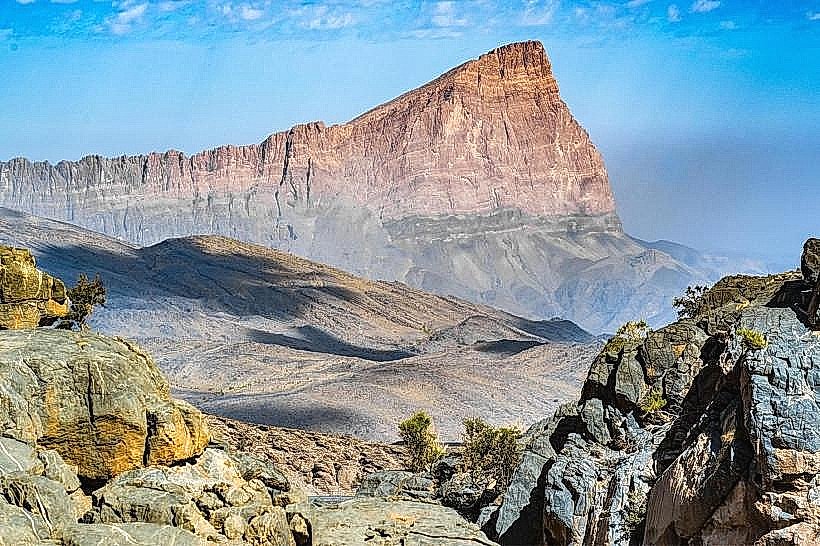
Visual Characteristics
The wadi is defined by high, sheer limestone walls that transition from light tan to dark grey. The valley floor is expansive and covered with white alluvial gravel, large boulders, and sediment deposited by flash floods. Vegetation is sparse but includes hardy acacia, sidr trees, and desert shrubs that cling to the rocky banks. During the rainy season, the wadi features clear freshwater pools and a flowing stream that winds through the canyon floor.
Location & Access Logistics
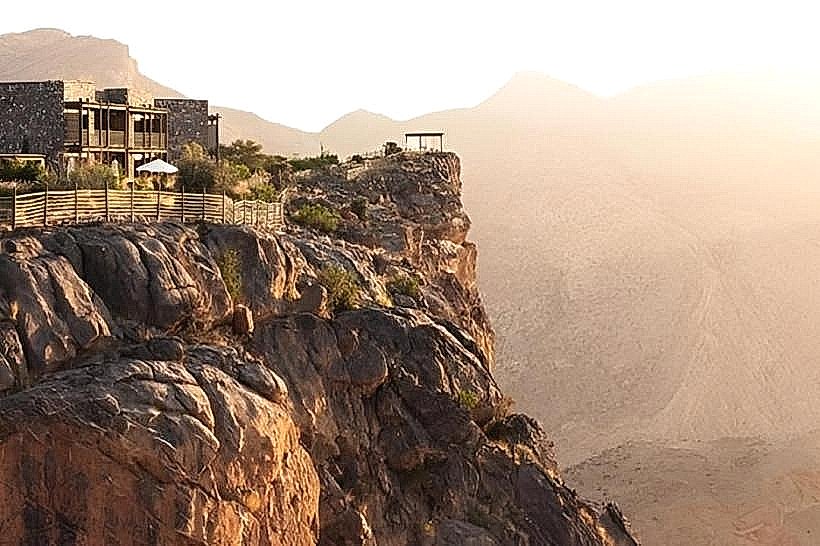
The entrance to Wadi Muaydin is located approximately 150km from Muscat and 22km east of Nizwa. It is situated directly adjacent to the village of Birkat Al Mouz and the primary ascent road to Jabal Akhdar. A 4WD vehicle is required to drive into the wadi bed due to the loose gravel, deep sand, and rocky obstacles. There is no formal parking lot within the wadi; visitors typically park on elevated gravel banks.
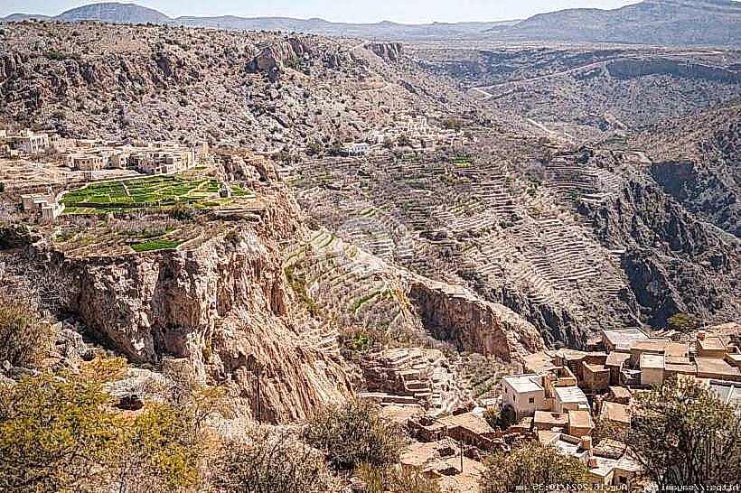
Historical & Ecological Origin
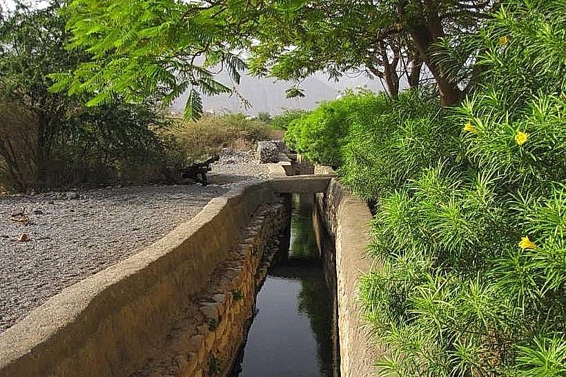
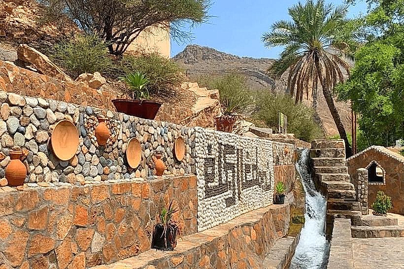
The canyon was formed by millions of years of hydraulic erosion and tectonic activity within the Al Hajar mountain system. Historically, the wadi has been a vital source of water for the surrounding agricultural communities. The Falaj al Khatmeen, a UNESCO World Heritage irrigation system, draws its water from the base of the mountains near the wadi's mouth, utilizing the natural aquifers recharged by mountain rainfall.
Key Highlights & Activities
Off-Roading: The wadi provides a challenging environment for 4WD enthusiasts navigating the rocky terrain and water crossings.
Hiking: Pedestrian exploration of the canyon offers close-up views of the complex geological layering of the Hajar Mountains.
Wadi Bashing: During and after the rainy season, the presence of water pools makes it a popular spot for local residents to gather for picnics and swimming.
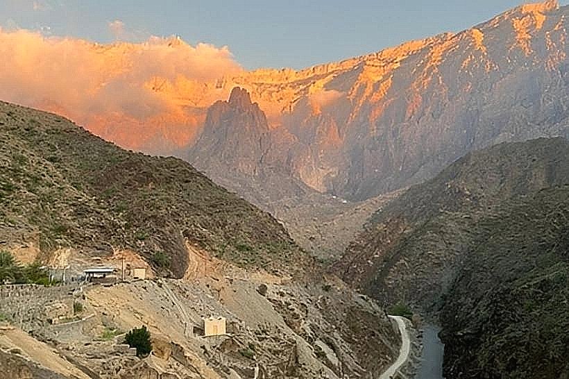
Geological Observation: The cliffs display distinct sedimentary sequences, including limestone and dolomite formations from the Permian period.
Infrastructure & Amenities
Infrastructure within Wadi Muaydin is non-existent to maintain its natural state. There are no public restrooms, shaded pavilions, or permanent food vendors inside the canyon. The nearest amenities, including fuel stations, grocery stores, and cafes, are located in the town of Birkat Al Mouz, less than 2km from the wadi entrance. 4G cellular signal is available at the entrance but weakens significantly as the canyon narrows.
Best Time to Visit
The winter months from November to March are the most suitable for exploration due to temperate daytime temperatures. For photography, the late afternoon provides the best contrast, highlighting the textures of the cliff faces. It is critical to avoid the wadi during any forecast of rain, as the steep mountain walls make it highly susceptible to dangerous and rapid flash flooding.
Facts & Legends
Local accounts describe the wadi as a historical pathway for tribes moving between the interior and the high mountain pastures. A technical detail for visitors is that the water in the wadi is part of a complex subterranean network; even when the surface appears dry, significant volumes of water continue to move through the gravel layers to feed the local oases.
Nearby Landmarks
Birkat Al Mouz - 1.5km South
Jabal Akhdar Checkpoint - 4.0km North
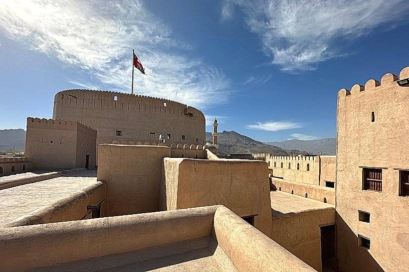
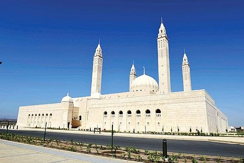
Nizwa Fort - 24km West
Falaj al Khatmeen - 2.0km South
Manah Castle - 20km South-West