Landmark: Falaj Al Khatmayn
City: Nizwa
Country: Oman
Continent: Asia
Falaj Al Khatmayn, Nizwa, Oman, Asia
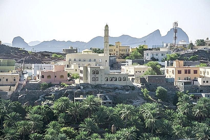
Falaj Al Khatmayn (also spelled Al Khatmeen) is a major irrigation system located in the village of Birkat Al Mouz in the Ad Dakhiliyah Governorate. It is one of the five Omani aflaj inscribed on the UNESCO World Heritage list, recognized for its engineering precision and historical significance.
Visual Characteristics
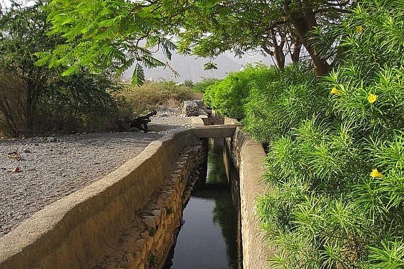
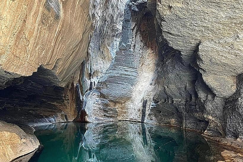
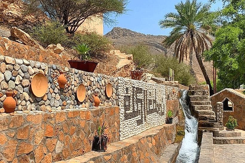
The falaj is a surface-level, stone-lined channel that carries high-velocity freshwater through the center of the village and into the date palm plantations. The water is exceptionally clear and consistently flows at a high rate. A unique visual feature is its "triple split" junction, where the water is divided into three equal streams using a precisely engineered stone distributor.
Location & Access Logistics
The system is located in Birkat Al Mouz, approximately 22km east of Nizwa and 150km from Muscat. Access is via Route 15 (Muscat-Nizwa Highway). The most accessible section of the falaj is situated near the Bait Al Reddah fort and the main mosque. There is a large parking area nearby, and the channel is easily followed on foot as it winds through the village and the oasis.
Historical & Ecological Origin
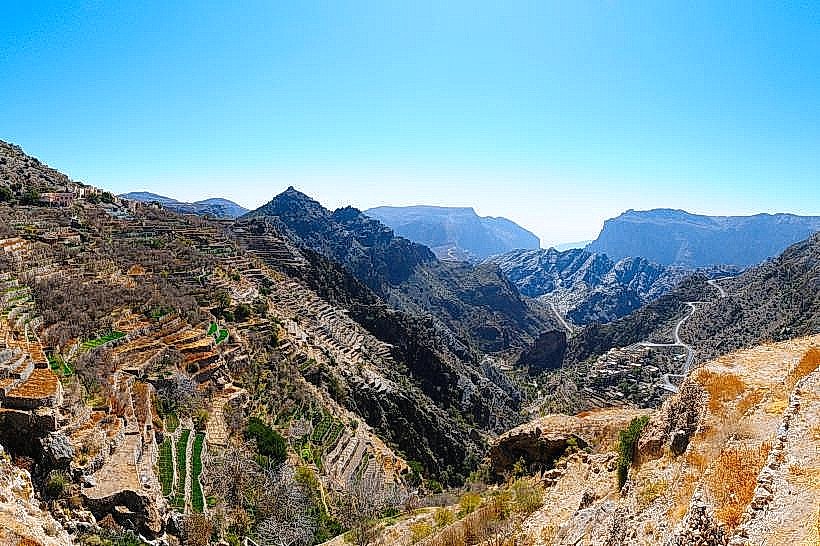
Falaj Al Khatmayn is a daudi falaj, meaning it originates from an underground mother well that taps into deep mountain aquifers. It has a total length of approximately 2,450 meters. The system was significantly developed and reinforced during the Yaruba Dynasty in the 17th century. It is unique because it draws from a consistent source that rarely fluctuates, even during extended dry periods, sustaining over 100,000 square meters of agricultural land.
Key Highlights & Activities
Engineering Observation: Visitors can view the distribution point where the water is split into three equal parts. According to local tradition, one part is for the government/public facilities and the other two are for the private farms.
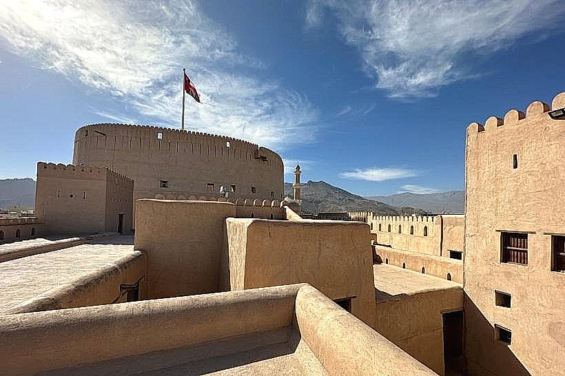
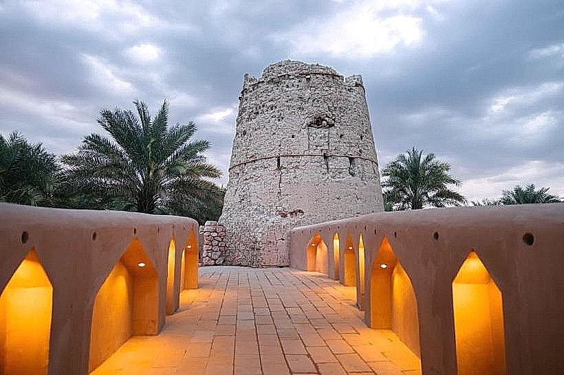
Fort Integration: The falaj flows directly through the basement of the Bait Al Reddah fort, which was historically designed to ensure a secure water supply for the occupants during a siege.
Walks: A paved path follows the channel through the palm groves, offering a shaded route to observe traditional farming and water management.
Infrastructure & Amenities
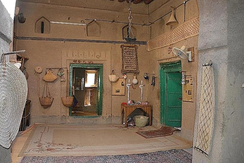
The area surrounding the falaj in Birkat Al Mouz includes public restrooms, small grocery stores, and local cafes. 5G cellular coverage is reliable. The Bait al Sabah heritage guesthouse is located nearby, providing traditional seating and refreshments.
Best Time to Visit
The system is active 24 hours a day, year-round. The best time for photography is the early morning or late afternoon, when the light emphasizes the movement of the water and the textures of the stone channels. During the winter months (November to February), the walk through the plantations is particularly temperate.
Facts & Legends
A remarkable technical fact about Falaj Al Khatmayn is that it is designed to maintain a "straight-line" flow for as long as possible to reduce friction and maintain velocity. Local legend suggests that the water is so pure because it is protected by the spirit of the mountain, though scientifically it is the depth of the mother well in the Hajar range that ensures its constant temperature and clarity.
Nearby Landmarks
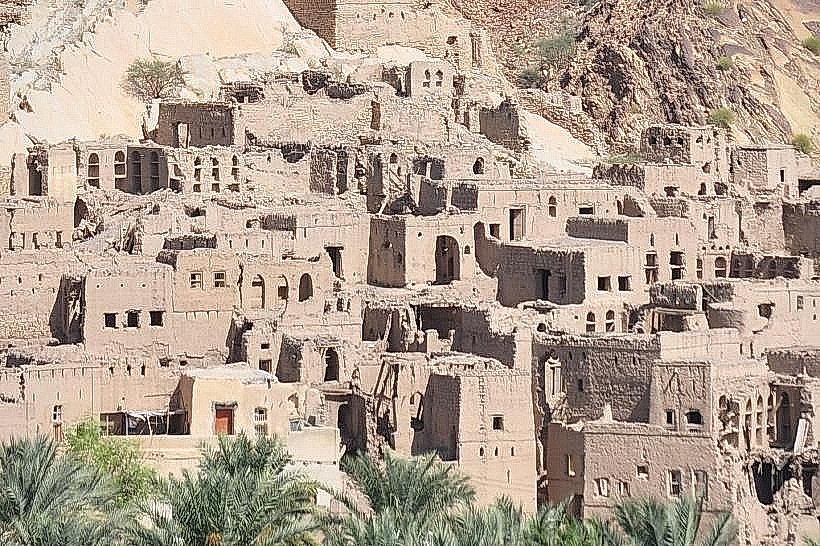
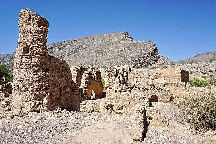
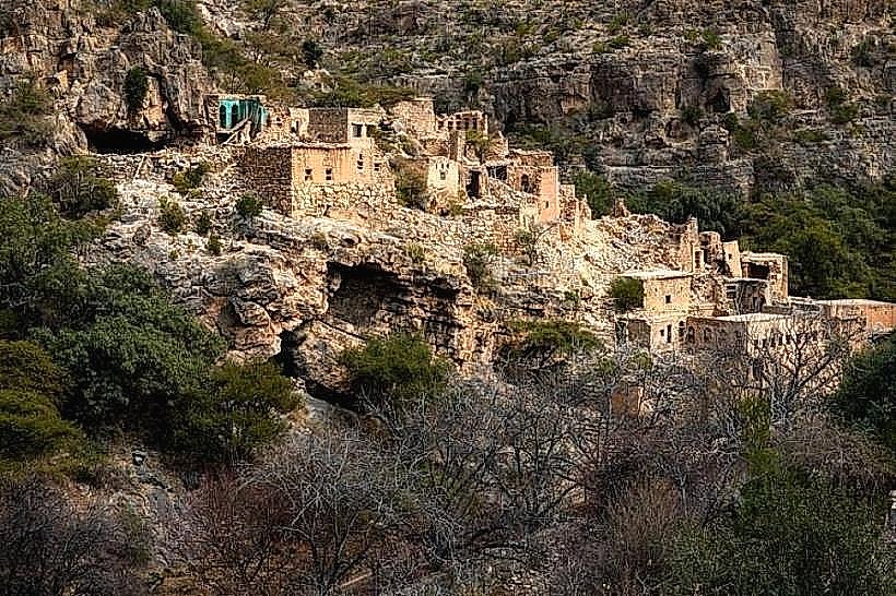
Harat al Burj (Old Ruins) - 0.3km North
Bait Al Reddah (Fort) - 0.1km East
Jabal Akhdar Checkpoint - 5.5km North
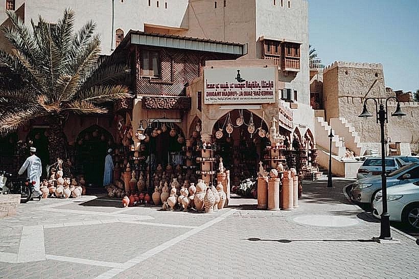
Nizwa Fort - 22km West
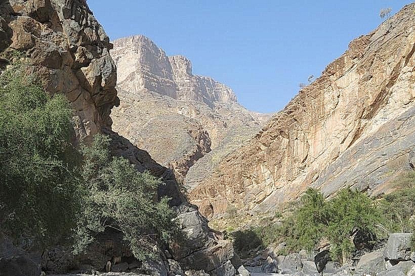
Wadi Muaydin - 1.5km North