Landmark: Birkat Al Mouz
City: Nizwa
Country: Oman
Continent: Asia
Birkat Al Mouz, Nizwa, Oman, Asia
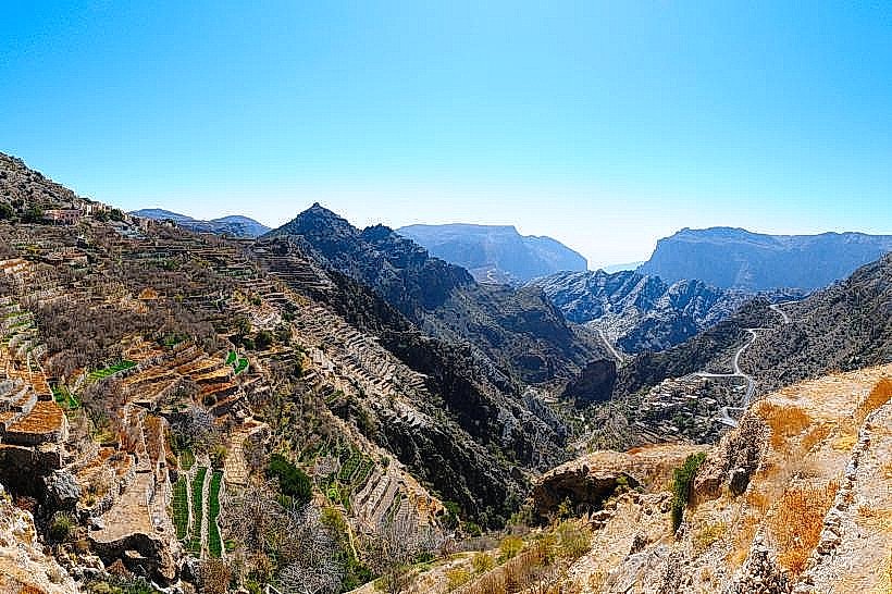
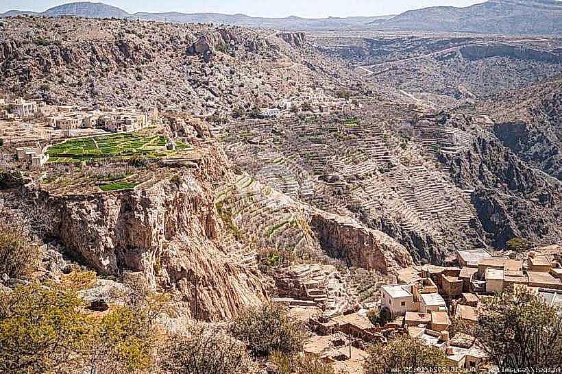
Birkat Al Mouz is a traditional village and oasis located at the base of the Jabal Akhdar mountain range in the Ad Dakhiliyah Governorate. It serves as the primary gateway to the Saiq Plateau and is a key component of the "Aflaj Irrigation Systems of Oman" UNESCO World Heritage Site.
Visual Characteristics
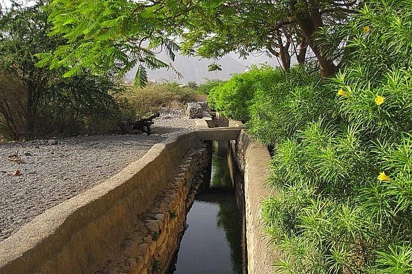
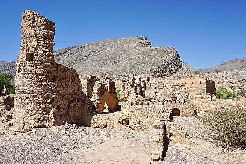
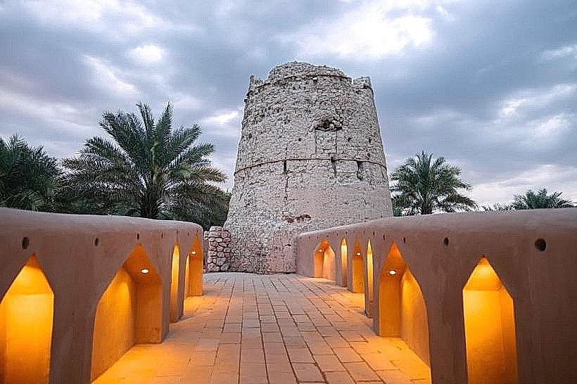
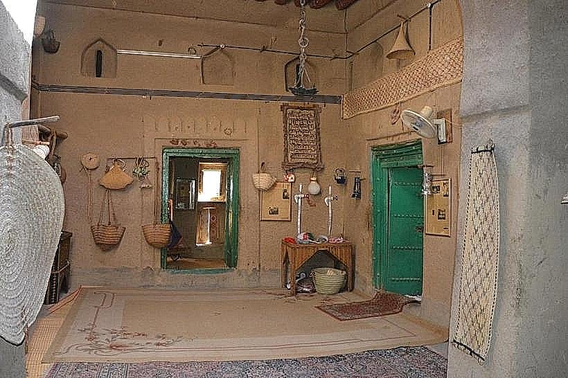
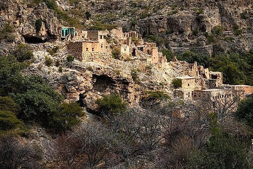
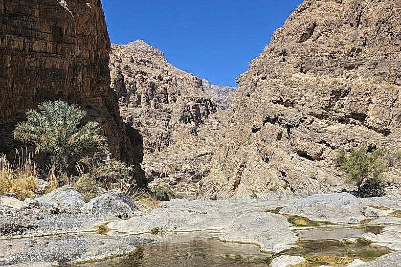
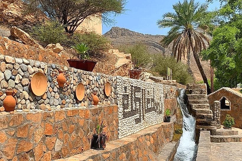
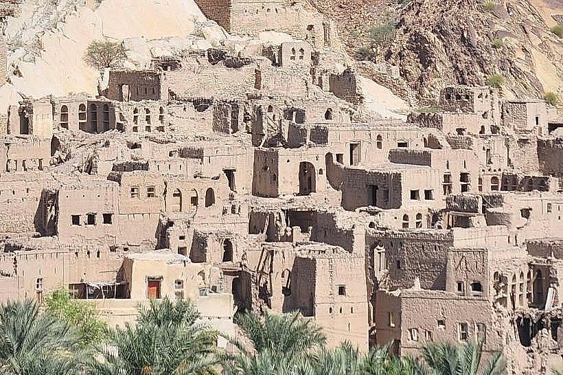
The site is defined by a dense palm grove consisting of thousands of date palms and banana trees, creating a vivid green contrast against the arid limestone foothills. The architecture features the ruins of Harat al Burj, a complex of multi-story mud-brick and stone houses tiered into the hillside. The Falaj al Khatmeen irrigation canal runs through the village, characterized by a clean, stone-lined channel with a constant flow of clear water.
Location & Access Logistics
The village is situated 150km southwest of Muscat and 22km east of Nizwa, along the main Muscat-Nizwa Highway (Route 15). Access is via a paved road that leads directly to the village center. A large asphalt parking area is located near the entrance to the old ruins and the main mosque. No direct public bus lines serve the village interior, making private vehicles or taxis the primary transit method.
Historical & Ecological Origin
The village has been a strategic agricultural hub for several centuries, serving as a transit point between the interior plains and the Hajar Mountains. It is ecologically significant for the Falaj al Khatmeen, a "daudi" falaj system that taps into deep mountain aquifers to provide a reliable year-round water supply for the extensive plantations.
Key Highlights & Activities
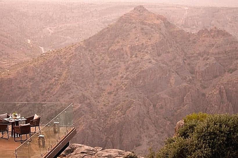
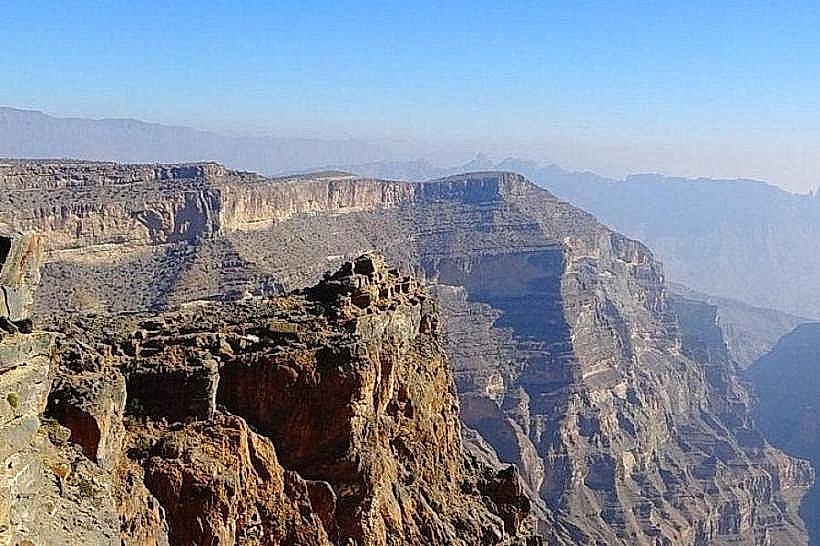
Walking through the abandoned mud-brick ruins of Harat al Burj offers insight into traditional Omani defensive and residential architecture. Visitors can follow the path of the Falaj al Khatmeen to observe the distribution points where water is divided for agricultural use. Photography is focused on the panoramic views from the top of the tiered ruins, overlooking the palm forest and the mountains.
Infrastructure & Amenities
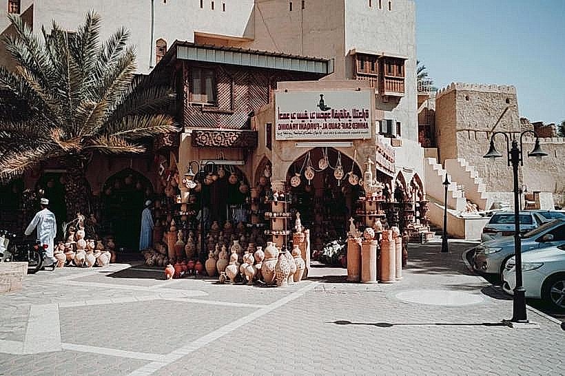
The village center contains basic grocery stores, small cafes, and public prayer rooms. Modern restrooms are available at the Birkat Al Mouz Mosque and within the Bait al Sabah heritage guesthouse. 5G and 4G cellular signals are consistently strong throughout the area. A fuel station is located at the intersection leading to the Jabal Akhdar ascent.
Best Time to Visit
The winter months (November to February) are optimal for exploring the ruins due to the temperate climate. Photography is most effective during the early morning or late afternoon to capture the long shadows and warm light on the mud-brick facades. The village is accessible 24 hours a day, though walking through the ruins is safest during daylight.
Facts & Legends
A unique feature of the Falaj al Khatmeen is that it is divided into three equal parts at a specific distribution point: one for the government/public use and two for private agricultural use. Local accounts suggest the village name, which translates to "Pool of Bananas," refers to the historically high productivity of its banana plantations, a rarity in the surrounding desert landscape.
Nearby Landmarks
Harat al Burj (Old Ruins) - 0.2km North
Jabal Akhdar Checkpoint - 5.5km North
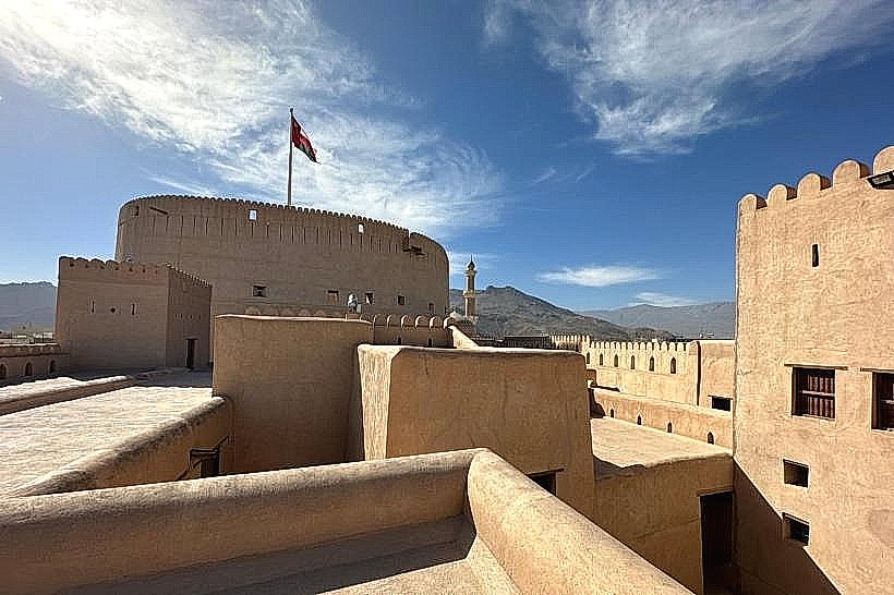
Nizwa Fort - 22km West
Bait Al Reddah (Fort) - 0.5km North
Manah Castle - 18km South-West