Landmark: Wadi Nakhr
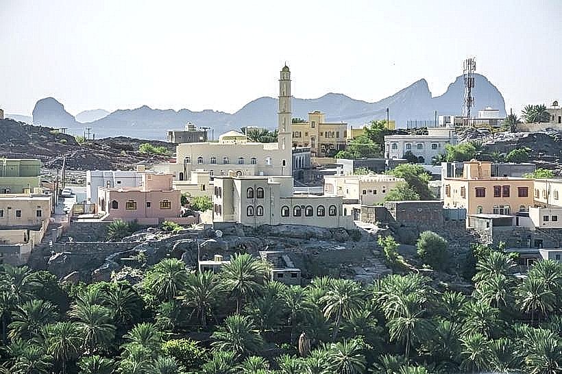
City: Nizwa
Country: Oman
Continent: Asia
Wadi Nakhr, Nizwa, Oman, Asia
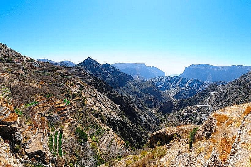
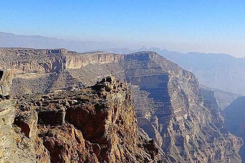
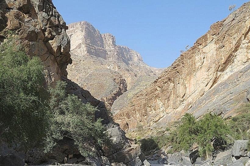
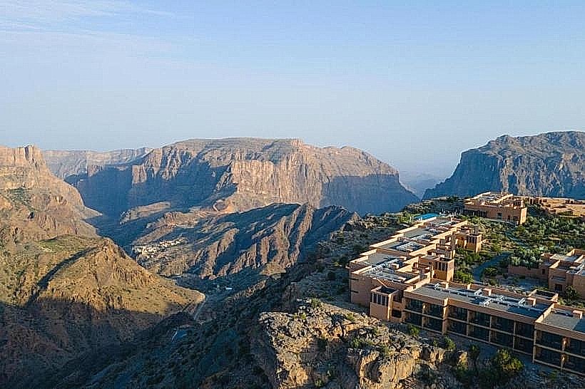
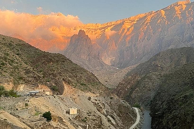
Wadi Nakhr is a deep limestone canyon located at the base of the Jabal Shams massif, serving as a direct continuation of Wadi Ghul. It is identified as the deepest section of the "Grand Canyon of Arabia," characterized by vertical cliffs that rise over 1,000 meters above the canyon floor.
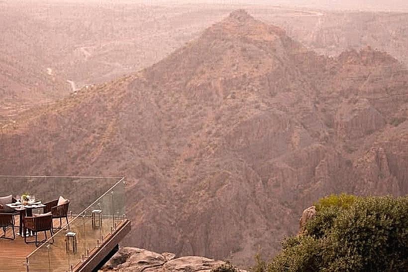
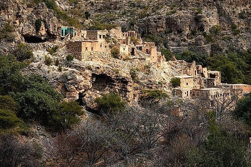
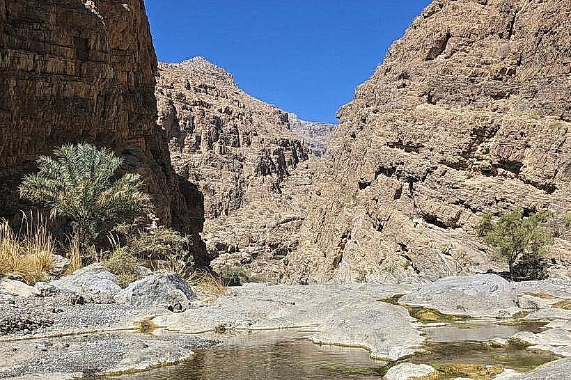
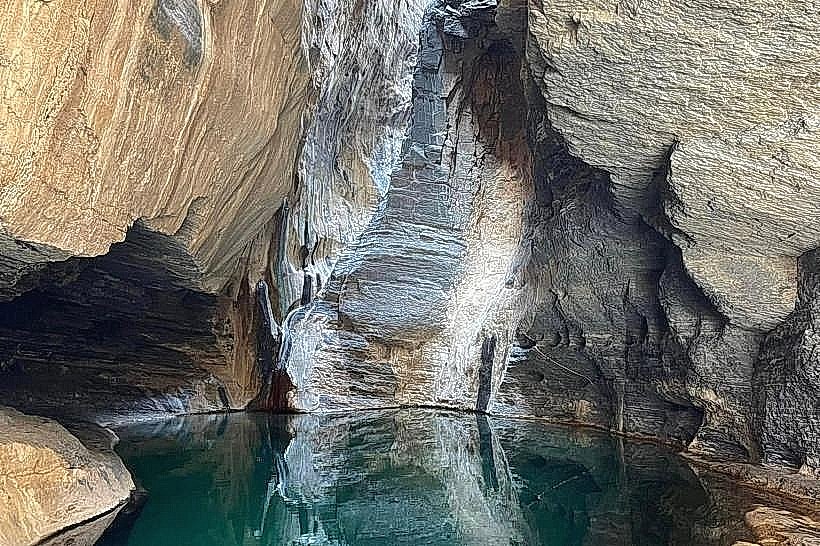
Visual Characteristics The canyon is defined by its sheer, tiered rock walls and a narrow valley floor composed of light grey boulders and smooth river stones. The landscape features stark contrasts between the arid, sun-bleached limestone and the dense greenery of the village oasis located deep within the gorge. Seasonal water pools often form after rains, reflecting the high cliff faces.
Location & Access Logistics Access is via the town of Al Hamra, following the road toward the village of Ghul.
Vehicle Requirement: To enter the canyon floor and drive to the village of Nakhr, a 4WD vehicle is mandatory due to the rugged terrain, large rocks, and deep gravel.
Terrain: The track follows the wadi bed and is subject to change based on recent flash flood activity.
Transit: There is no public transportation; visitors must utilize private 4WD vehicles or hire local guides from Al Hamra.
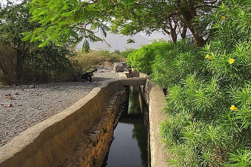
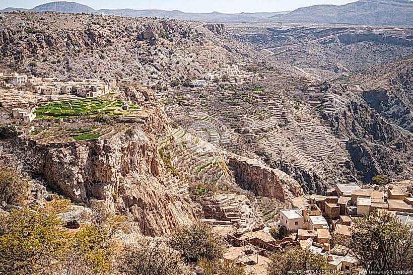
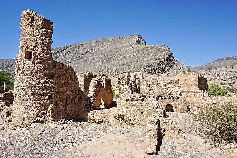
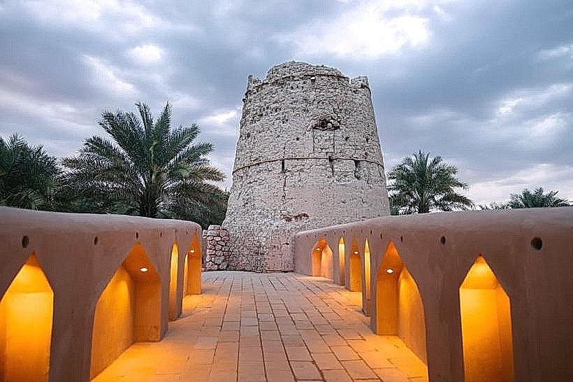
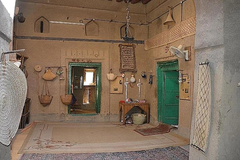
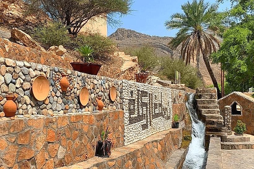
Historical & Ecological Origin The canyon was formed through millions of years of hydraulic erosion caused by runoff from the high Jabal Shams plateau. It is home to the ancient village of Nakhr, where residents historically utilized the wadi’s constant spring water for terraced farming. The ecology is adapted to the extreme verticality of the canyon, supporting raptors and specialized mountain flora that thrive in the shadows of the cliffs.
Key Highlights & Activities
Off-Road Exploration: Navigating the 7km track along the wadi floor to reach the inner village is a primary activity for 4WD enthusiasts.
Hiking: The canyon provides a starting point for several strenuous ascent routes toward the Jabal Shams plateau.
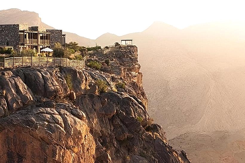
Photography: The "vertical perspective" from the canyon floor provides a unique scale of the Hajar Mountains' height, particularly when looking up at the Balcony Walk path above.
Infrastructure & Amenities Infrastructure within Wadi Nakhr is non-existent to maintain its natural state.
There are no public restrooms, shops, or fuel stations within the canyon.
All supplies must be carried in from Al Hamra.
4G cellular signal is highly unreliable and typically cuts out completely once inside the narrowest sections of the gorge.
Best Time to Visit The winter months (November to March) are the only recommended time for exploration due to the heat trapped within the canyon walls during summer. It is critical to monitor weather forecasts; the canyon is extremely dangerous during rain as it acts as a primary drainage channel for Jabal Shams, leading to immediate and violent flash floods.
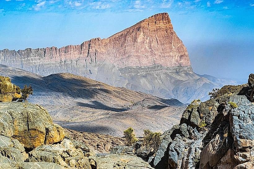
Facts & Legends Local tradition holds that the village was once entirely self-sufficient, producing its own crops and textiles within the isolation of the canyon walls. A geological feature of interest is the "S-curve" in the canyon, where the tectonic forces that shaped the Hajar range are visible in the dramatic folding of the limestone layers.
Nearby Landmarks
Jabal Shams Summit – 5.0km North (vertically above)
Wadi Ghul – 0.5km South
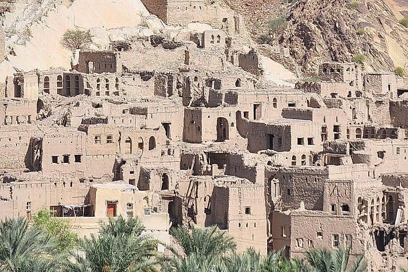
Al Hamra Old Town – 18km South-East
Misfat Al Abriyeen – 22km South-East
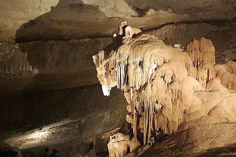
Al Hoota Cave – 15km South-East