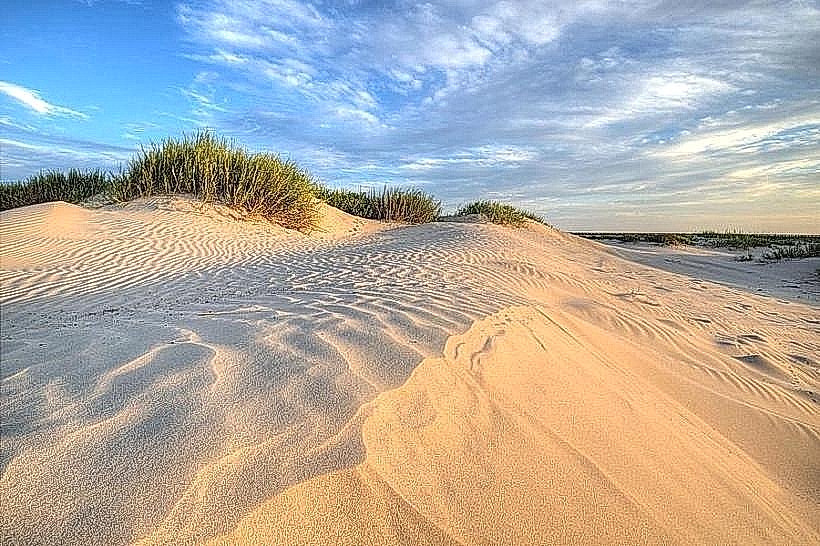
Landmark: Gandon Dunes
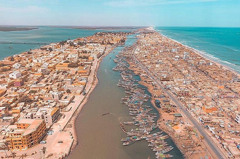
City: Saint Louis
Country: Senegal
Continent: Africa
Gandon Dunes, Saint Louis, Senegal, Africa
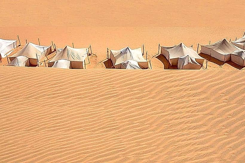
Gandon Dunes are a coastal desert formation located in the Gandon rural community within the Saint-Louis Region of northern Senegal. They form a natural barrier between the Atlantic Ocean and the inland agricultural depressions known as "niayes."
Visual Characteristics
The site consists of high, shifting sand dunes composed of fine-grained, pale yellow to reddish-orange quartz sand. The terrain is undulating, with steep slip faces and crests that reach heights of 10 to 15 meters. Vegetation is sparse, consisting primarily of salt-tolerant shrubs and clumps of pioneer grasses that stabilize the dune bases. The landscape is characterized by wind-formed ripples and a stark contrast between the bright sand and the deep blue of the nearby Atlantic horizon.
Location & Access Logistics
The dunes are situated approximately 15km south of the city of Saint-Louis, near the village of Gandon. Access is via the N2 highway (Route de Dakar) followed by unpaved sandy tracks. Reaching the interior dunes requires a 4x4 vehicle or a 2km trek from the main road. Local "clando" taxis from the Sor Market in Saint-Louis can drop passengers at the Gandon turn-off. There is no formal parking; vehicles must stop on firm ground at the edge of the dune field to avoid getting stuck in soft sand.
Historical & Ecological Origin
The dunes are part of the larger "Great Coast" (Grande Côte) quaternary dune system, formed by the accumulation of marine sediments deposited by the Canary Current and shaped by the Alizé winds. Ecologically, they represent a fragile semi-arid ecosystem. Historically, these dunes have been part of the traditional grazing lands for nomadic pastoralists, and they play a critical role in protecting the inland freshwater lenses from saltwater intrusion.
Key Highlights & Activities
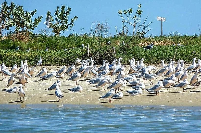
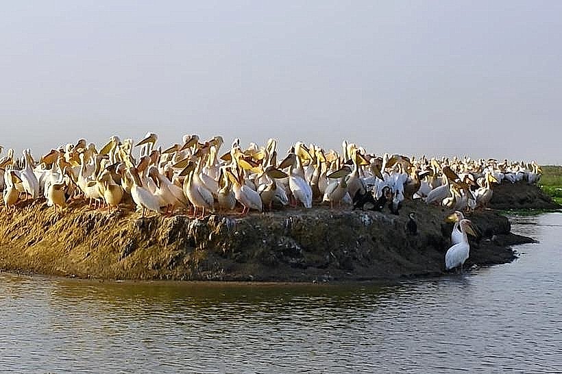
Specific actions include sandboarding on the steeper slopes and guided camel treks through the dune corridors. The area is a primary site for landscape photography and birdwatching, as migratory species utilize the coastal thermal currents. Observation of the "moving" nature of the dunes, which can shift several meters per year due to wind action, is a central interest for geological study.
Infrastructure & Amenities
The dunes are a raw natural site with no permanent infrastructure. There are no restrooms, shade structures, or food vendors within the dune field itself. 4G cellular signal is available but can be intermittent in the lower troughs between dunes. Visitors must carry their own water and supplies. The nearest basic amenities, including small shops and fuel, are located 3km away in the village of Gandon.
Best Time to Visit
The optimal period is the dry season from November to June when the sand is firmest and the sky is clear. The best time of day for photography is early morning (07:00–09:00) or late afternoon (16:30–18:30) to capture long shadows and the red hues of the sand. Avoid midday visits during the rainy season (July–September) as the humidity is high and the sand can become muddy and difficult to traverse.
Facts & Legends
A local tip for visitors is to look for "fulgurites"-tubular glass structures formed when lightning strikes the sand-which are occasionally uncovered by wind erosion in this specific region. Legend suggests that the dunes were once much further inland and have "marched" toward the sea over centuries, a myth that aligns with the scientific reality of coastal dune migration in the Sahel.
Nearby Landmarks
Saint-Louis Airport (Gandon) – 4.0km North
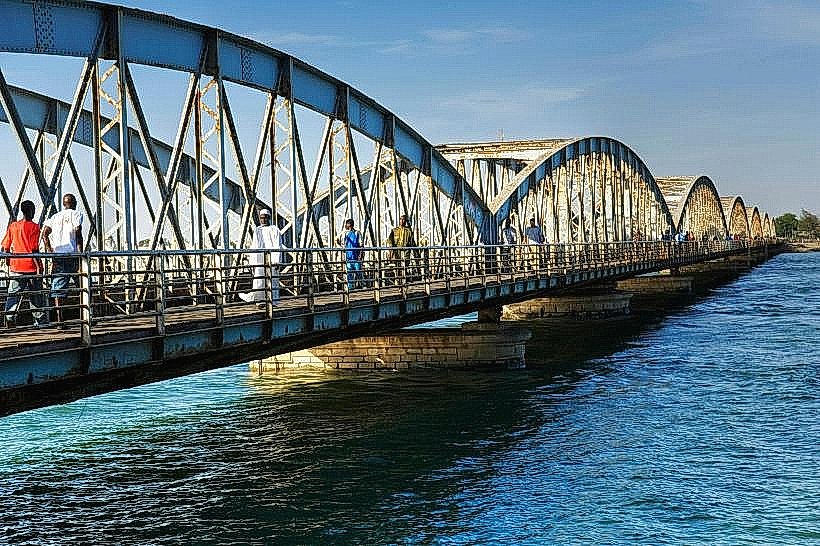
Langue de Barbarie National Park – 8.0km West
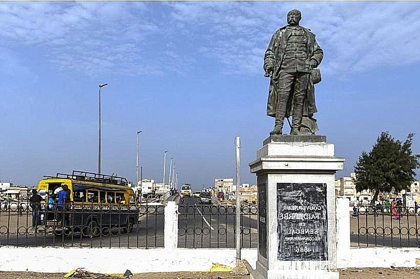
Gandon Village – 2.5km East
N2 Highway Junction – 3.0km East
Rao Agricultural Zone – 12.0km South