Landmark: Quai Henri Jay
City: Saint Louis
Country: Senegal
Continent: Africa
Quai Henri Jay, Saint Louis, Senegal, Africa
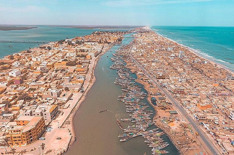
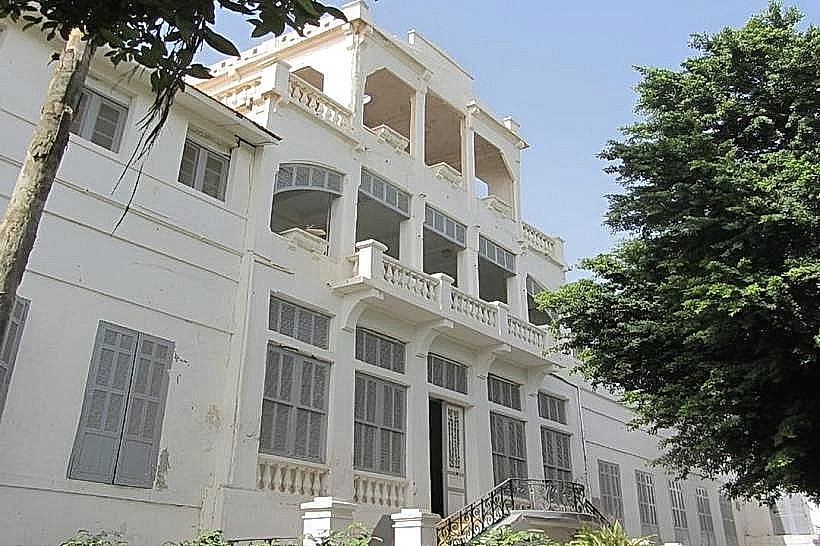
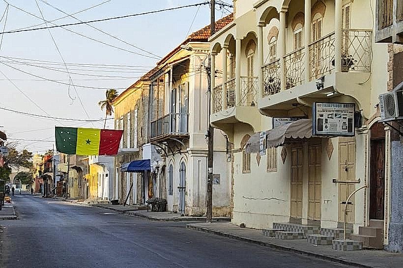
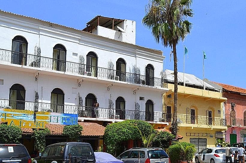
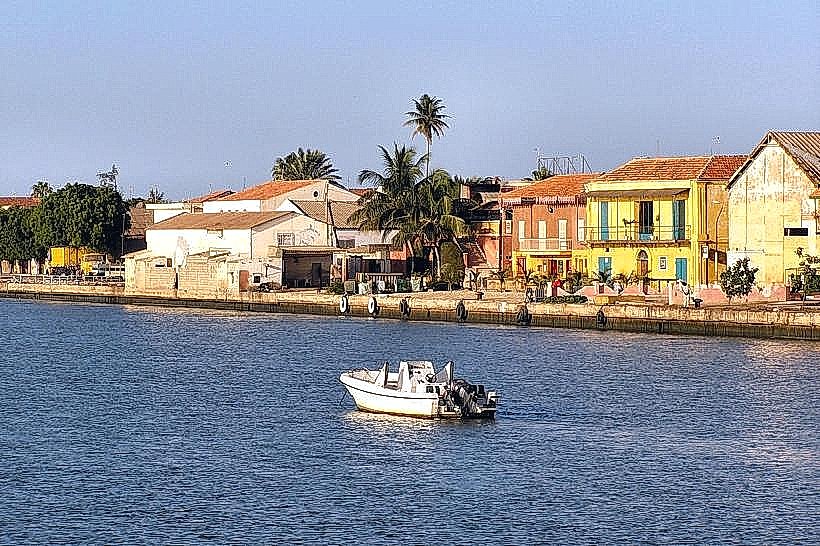
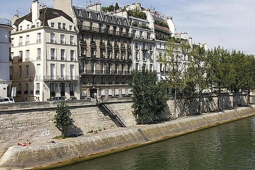
Quai Henry Jay is a historic riverfront boulevard located on the western edge of the Île de Saint-Louis in Saint-Louis, Senegal. It runs parallel to the Petit Bras of the Senegal River, serving as both a logistical thoroughfare and a scenic promenade that defines the island's architectural boundary.
Visual Characteristics
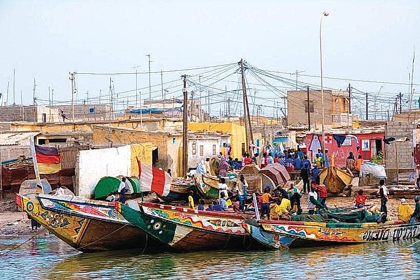
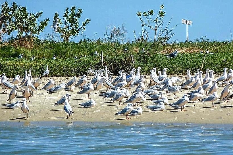
The quay is lined with double-story colonial buildings featuring arched doorways, wrought-iron balconies, and weathered masonry in shades of yellow and ochre. The riverside is flanked by a stone embankment and rows of ancient trees that provide intermittent shade. The view across the water encompasses the fishing boats (pirogues) of the Guet Ndar district and the shifting sandbars of the Langue de Barbarie.
Location & Access Logistics
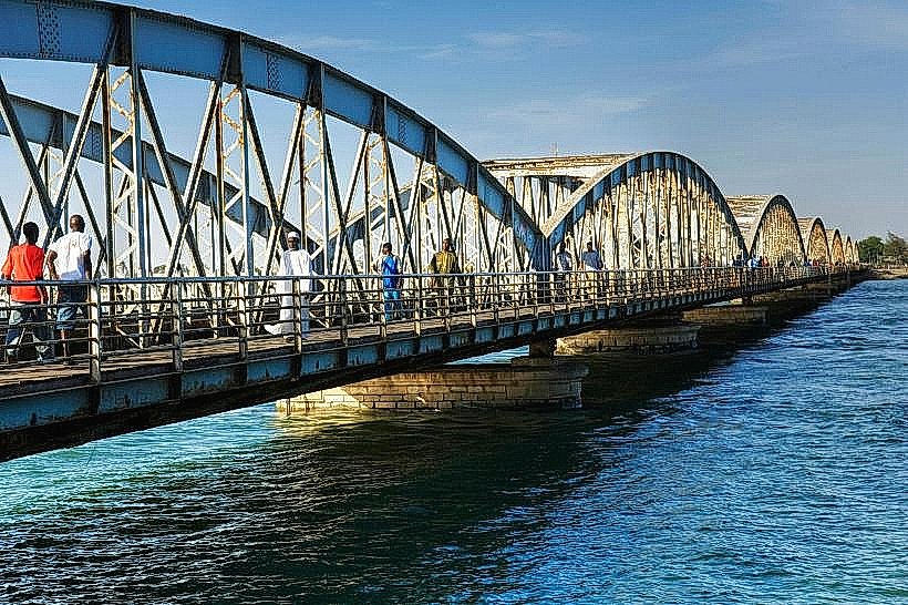
The boulevard extends along the western length of the island, connecting the northern tip near the Faidherbe Bridge to the southern residential districts. It is approximately 0.5km from the Pont Faidherbe. Access is unrestricted for pedestrians and light vehicles, though the road surface consists of aged pavement and packed sand. Visitors typically arrive via the bridge and walk south along the river. Street parking is more available here than in the interior island streets.
Historical & Ecological Origin
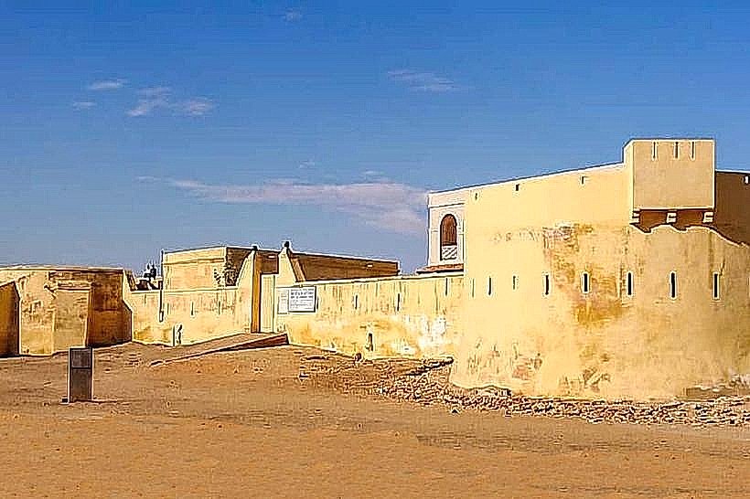
Named during the French colonial era, the quay served as the primary docking area for river steamships and merchant vessels trading in gum arabic and textiles. The infrastructure was designed in the 19th century to protect the island from the seasonal flooding of the Senegal River. It sits on an alluvial silty base characteristic of the river delta, which has been reinforced over decades with stone masonry.
Key Highlights & Activities
The quay is a primary location for observing the "river life" of Saint-Louis, including the movement of traditional wooden pirogues. It is a popular route for historical walking tours focusing on colonial architecture. Sunset viewing is a frequent activity, as the quay faces west toward the Atlantic coast. Several historic warehouses along the route have been converted into boutique hotels and art galleries.
Infrastructure & Amenities
The quay features a wide sidewalk suitable for walking and photography. While there are no public restrooms directly on the embankment, numerous hotels and restaurants along the boulevard provide facilities for patrons. 4G and 5G cellular coverage is excellent due to the open proximity to mainland towers. Benches are sporadically placed under the trees, offering shaded resting points.
Best Time to Visit
The late afternoon, approximately 17:00 to 19:00, is the optimal time for visiting to experience the sunset over the Senegal River. This timing also avoids the peak midday heat and provides the best lighting for the colonial facades. The months of December through February offer the most comfortable temperatures and clear skies for long-distance visibility.
Facts & Legends
A local historical oddity is that the quay was once the site of intense commercial rivalry between European trading houses, the remnants of which are still visible in the faded company insignias on the upper stories of the buildings. It is often referred to by locals as a "living museum" because the daily routines of the river laborers have remained largely unchanged for over a century.
Nearby Landmarks
Pont Faidherbe – 0.5km North
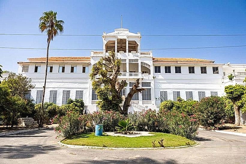
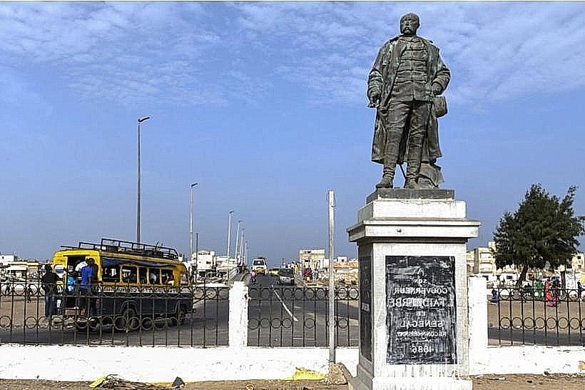
Gouvernance de Saint-Louis – 0.3km East
Meissa Fall Sculptures – 0.2km East
CRDS Museum – 0.4km South
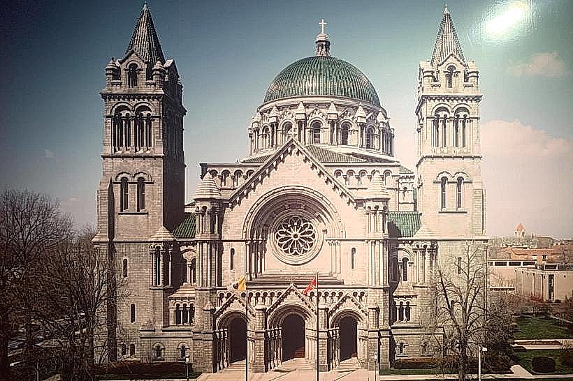
Cathedral of Saint Louis – 0.4km Northeast