Landmark: Hydrobase Beach
City: Saint Louis
Country: Senegal
Continent: Africa
Hydrobase Beach, Saint Louis, Senegal, Africa
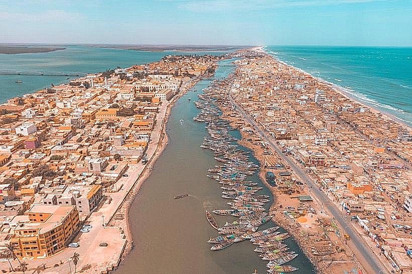
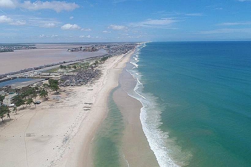
Hydrobase Beach is a coastal stretch located on the Langue de Barbarie peninsula in Saint-Louis, Senegal. It is positioned between the Atlantic Ocean to the west and the Senegal River to the east, serving as a primary recreational and artisanal fishing site for the region.
Visual Characteristics
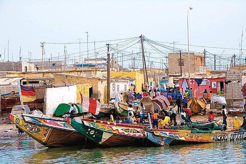
The beach features a wide expanse of fine, light-golden sand with a moderate incline toward the Atlantic surf. The shoreline is characterized by strong wave action and a persistent sea breeze. The northern section is densely packed with hundreds of brightly painted wooden fishing pirogues, while the southern areas are more open with sparse coastal grasses and occasional palm trees. The water transitions from a turquoise-green near the shore to a deep blue toward the horizon.
Location & Access Logistics
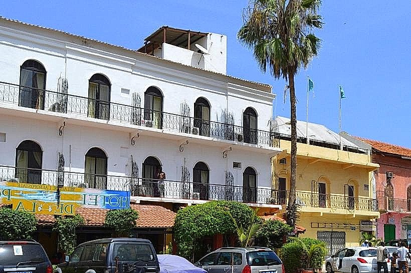
Hydrobase is situated approximately 5km south of the Saint-Louis Island center. Access is via the main paved road that runs the length of the Langue de Barbarie, passing through the fishing village of Guet Ndar. Visitors can reach the site by yellow-and-black taxi or by "clando" (collective taxi) from the mainland or the island. There is no formal paved parking lot; vehicles typically park on the sandy verges or in front of the various beachfront lodges.
Historical & Ecological Origin
The name "Hydrobase" originates from the site's role as a base for French naval seaplanes (hydravions) during the colonial era and the early days of the Aéropostale mail service. Ecologically, it is part of a shifting sandspit formed by the accumulation of oceanic and fluvial sediments. The area is highly sensitive to coastal erosion and is subject to the dynamic tidal forces of the Atlantic Ocean and the seasonal discharge of the Senegal River.
Key Highlights & Activities
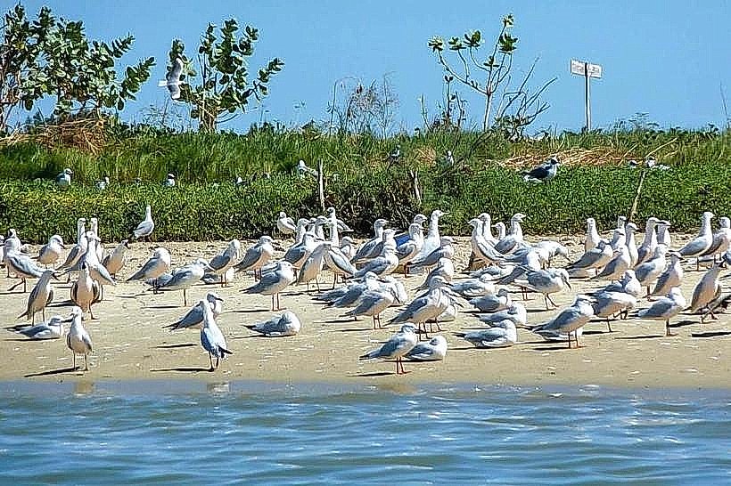
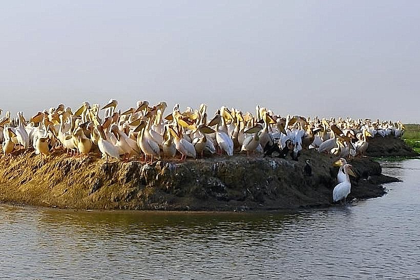
Specific activities include observing the daily landing of the fishing fleet in the late afternoon. Swimming is possible but requires caution due to strong currents and undertows. The beach is a popular spot for sunbathing, beach soccer, and birdwatching, as the nearby estuary is a habitat for migratory species. Several beachfront hotels offer excursions to the nearby Langue de Barbarie National Park.
Infrastructure & Amenities
The beach is bordered by several hotels and "campements" that provide restrooms, showers, and dining facilities for guests and day-pass visitors. There are no public restrooms on the open beach. 4G and 5G cellular signals are consistently strong across the peninsula. Small informal kiosks selling cold drinks and grilled fish are located near the main access points. Shade is limited to the terraces of private establishments or temporary thatched-roof shelters.
Best Time to Visit
The best months for weather are from November to June during the dry season. The late afternoon (16:30 to 18:30) is the optimal time for photography, specifically to capture the return of the colorful pirogues against the sunset. Weekends are significantly more crowded with local residents, while weekday mornings offer a more secluded environment.
Facts & Legends
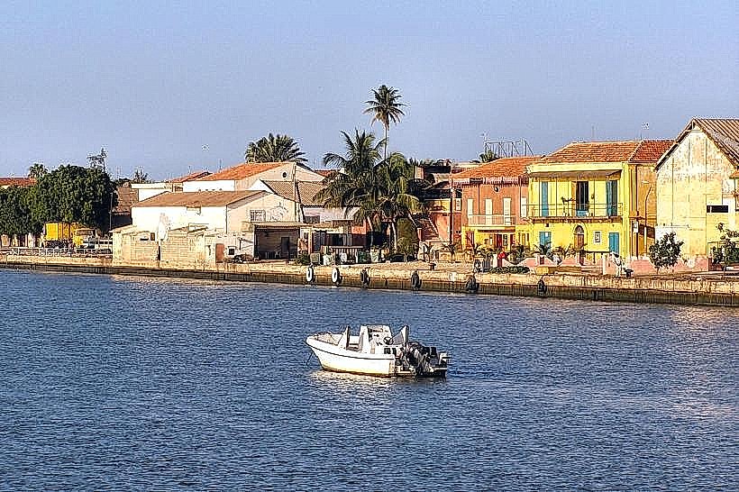
A local historical fact is that this beach served as the final takeoff and landing point for many pioneer aviators crossing the South Atlantic. A specific tip for visitors is to walk to the "river side" of the peninsula, just 200 meters east of the beach, to see the contrast between the rough Atlantic waves and the calm, brackish waters of the Senegal River estuary.
Nearby Landmarks
Langue de Barbarie National Park – 15.0km South
Guet Ndar Fishing Village – 3.5km North
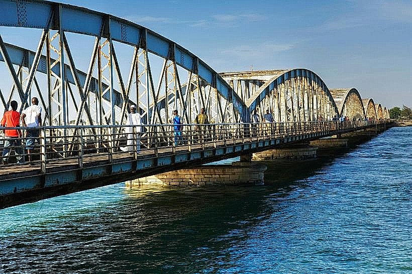
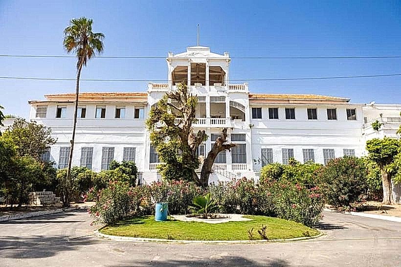
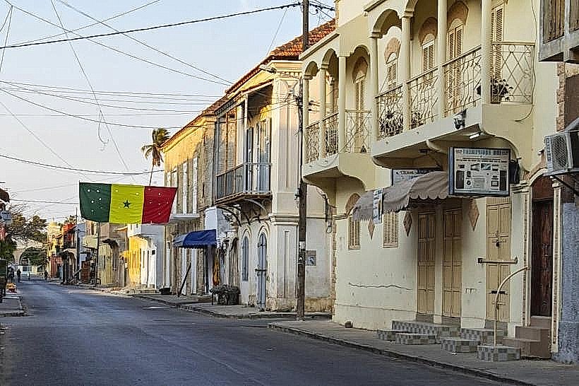
Ndar Island Historic District – 5.0km North
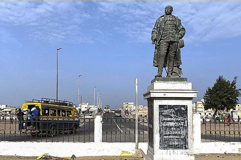
Mermoz Memorial – 4.2km North
Senegal River Estuary – 0.2km East