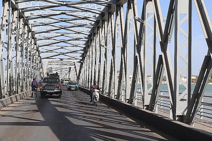
Landmark: Mboumbaye Bridge
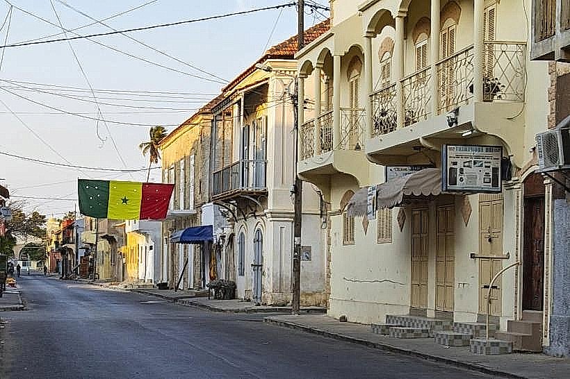
City: Saint Louis
Country: Senegal
Continent: Africa
Mboumbaye Bridge, Saint Louis, Senegal, Africa
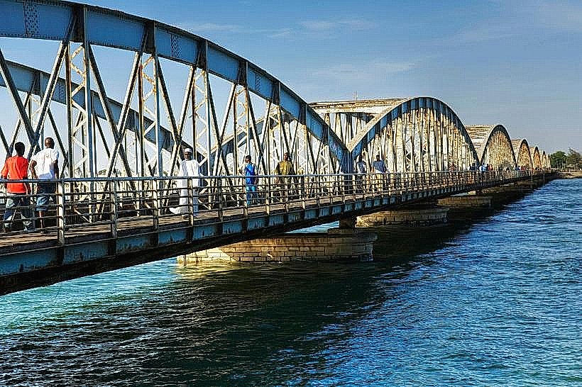
The Mboumbaye Bridge is a critical piece of regional infrastructure located in the Saint-Louis Region of northern Senegal. It spans a distributary of the Senegal River, providing a vital transport link between the agricultural hinterlands and the primary coastal road networks.
Visual Characteristics
The bridge is a modern reinforced concrete structure supported by multiple cylindrical piers embedded in the riverbed. It features a two-lane asphalt roadway flanked by narrow pedestrian walkways and concrete safety barriers. The design is functional and utilitarian, with a gray industrial finish that contrasts with the surrounding silty riverbanks and green marsh vegetation.
Location & Access Logistics
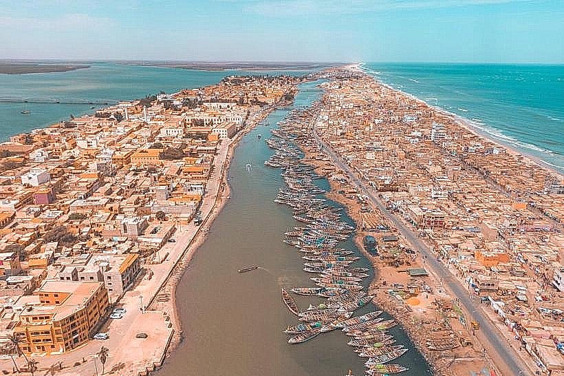
The bridge is situated near the village of Mboumbaye, approximately 20km northeast of the city of Saint-Louis. It is accessed via the regional road network that branches off the N2 highway. While primarily used by heavy agricultural trucks and local transit, it is accessible to all vehicle types. There are no formal parking facilities or public transport stops on the bridge itself, though local "clando" taxis operate between the connected villages.
Historical & Ecological Origin
The current concrete structure was commissioned to replace older, less reliable crossing points to facilitate the year-round transport of rice and sugar cane from the Senegal River valley. Geologically, it spans an area of soft alluvial deposits and seasonal floodplains. The bridge's height and span are designed to accommodate the significant fluctuations in water levels that occur during the annual rainy season from July to September.
Key Highlights & Activities
The bridge serves as a primary vantage point for observing the extensive irrigation networks and rice paddies characteristic of the Richard-Toll and Saint-Louis agricultural axis. Local residents often use the bridge for artisanal line fishing during the early morning. It is a key logistical node for the transport of livestock and produce to the markets in Sor and Saint-Louis.
Infrastructure & Amenities
The bridge is strictly a transit structure with no built-in amenities. There are no restrooms, shade structures, or vendor stalls on the span. 4G cellular signal is generally available from nearby telecommunications towers. Lighting is limited to vehicle headlamps, as the bridge does not feature integrated street lamps. Basic roadside services and small shops are located in the nearby village of Mboumbaye.
Best Time to Visit
The bridge is best viewed during the early morning (07:00 to 09:00) when agricultural activity is at its peak and the light is soft for photography of the river valley. During the harvest season, the volume of colorful produce trucks increases significantly. It is advisable to avoid crossing during heavy rainstorms, as the approach roads can become muddy and visibility over the water is reduced.
Facts & Legends
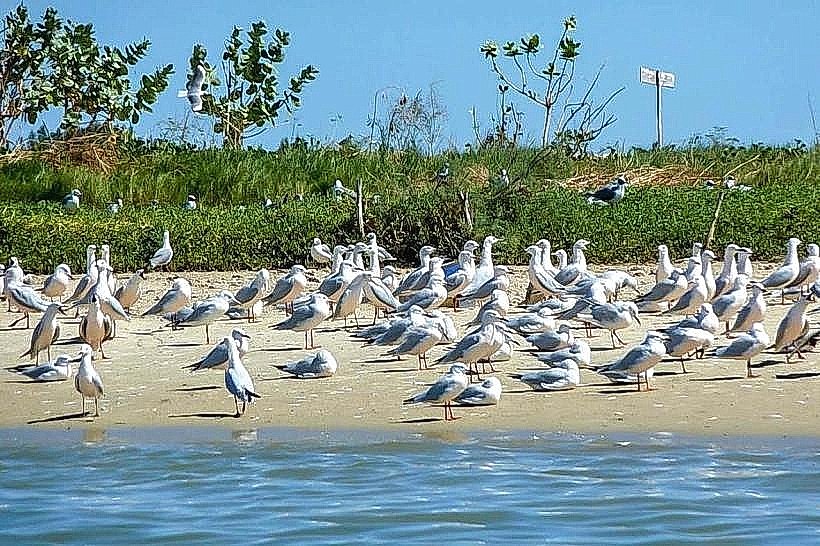
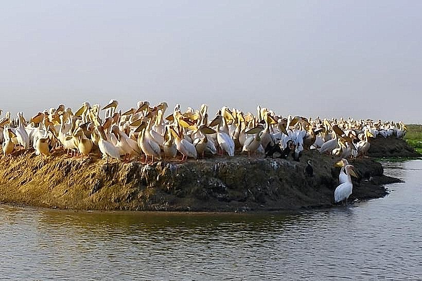
A local engineering fact is that the bridge's construction was part of a larger regional development initiative aimed at securing food autonomy for northern Senegal by linking isolated farming communities to urban ports. A tip for travelers is that the area surrounding the bridge is a known spot for spotting migratory birds that frequent the Senegal River delta during the winter months.
Nearby Landmarks
Senegal River Distributary – 0.0km (Immediate)
Mboumbaye Village – 0.5km East
Ranch de Dolly (Buffer Zone) – 12.0km Southeast
Grand Digue Tali – 8.0km West
Saint-Louis City Perimeter – 18.0km Southwest