Landmark: Wadi Kamah
City: Nizwa
Country: Oman
Continent: Asia
Wadi Kamah, Nizwa, Oman, Asia
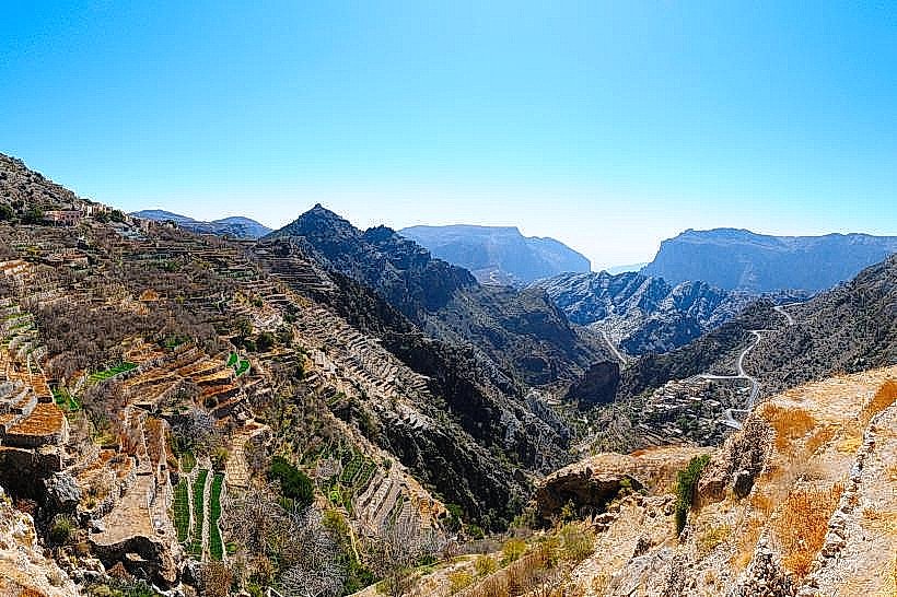
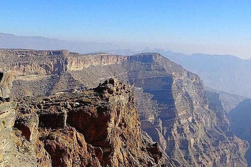
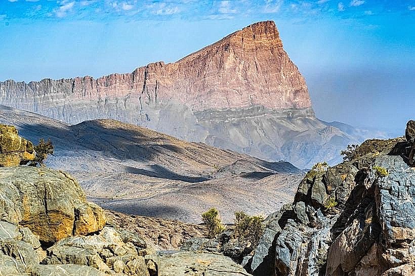
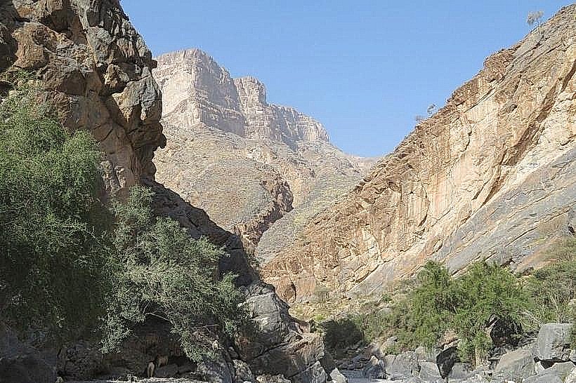
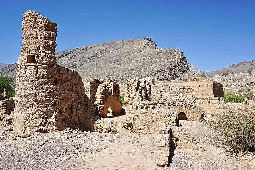
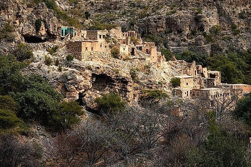
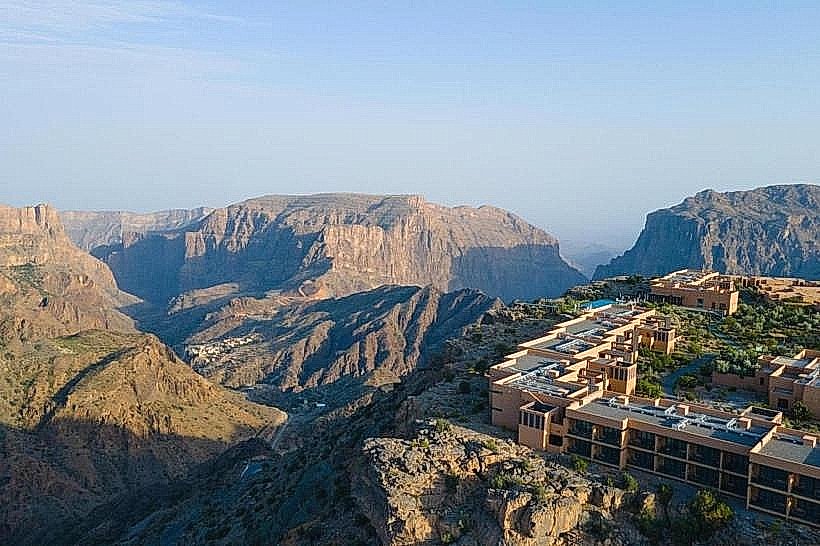
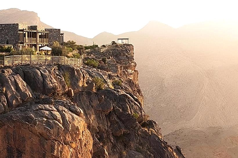
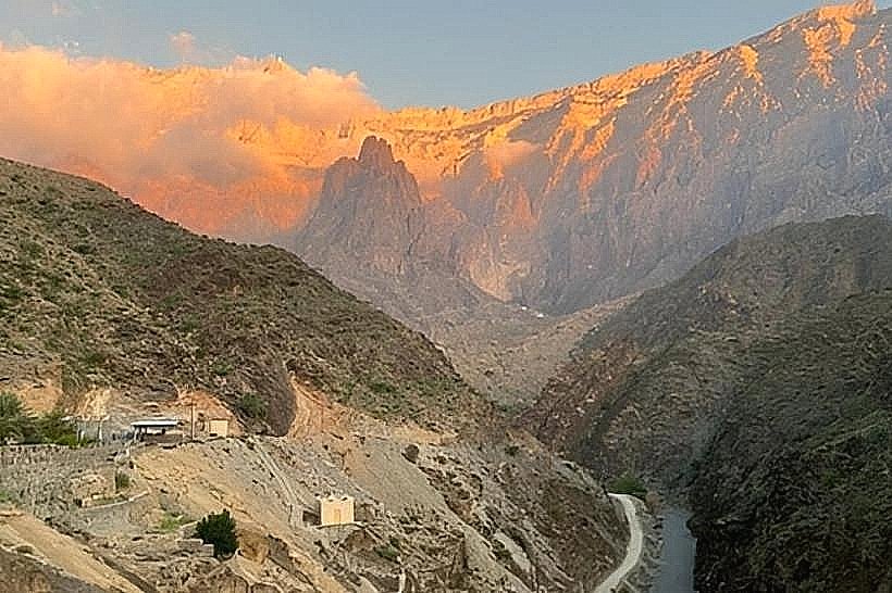
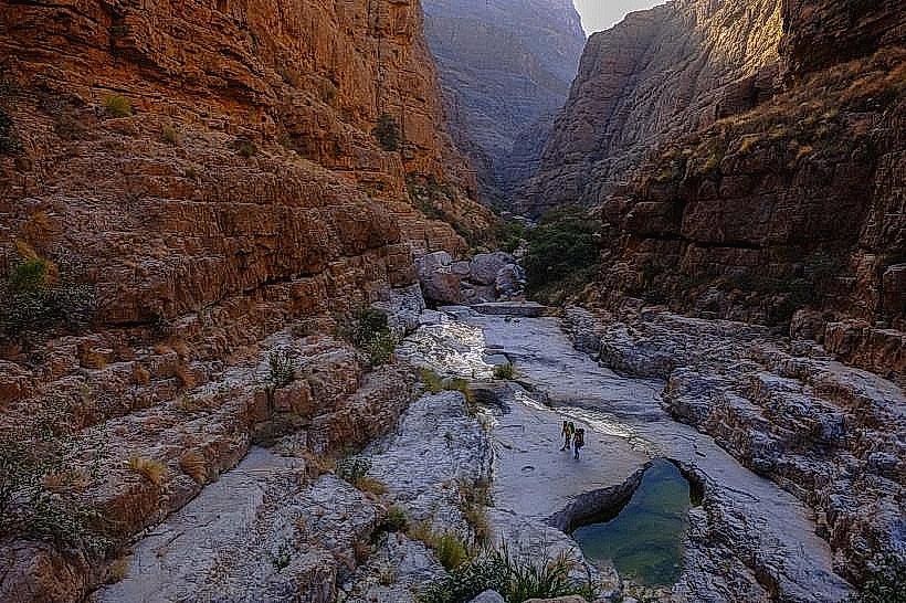
Wadi Kamah is a limestone gorge and seasonal riverbed located in the Ad Dakhiliyah Governorate, situated approximately 15km northwest of Nizwa. It is positioned at the southern foothills of the Hajar Mountains, between the more prominent valleys of Wadi Tanuf and Wadi Al Hoota.
Visual Characteristics
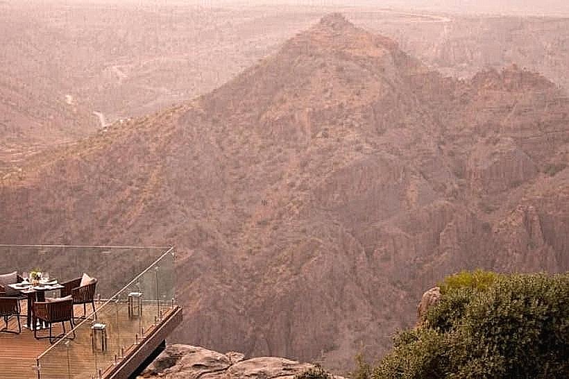
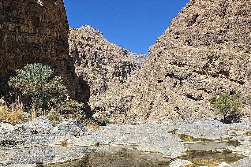
The wadi is characterized by a broad entrance that narrows into a steep-walled limestone canyon. The terrain is dominated by light-colored alluvial gravel and large, water-worn boulders. Vegetation includes scattered acacia trees and desert shrubs. Following significant rainfall, the wadi features clear freshwater pools and a flowing stream, though it remains dry for the majority of the year.
Location & Access Logistics
Access is via the Nizwa-Bahla road (Route 21).
Navigation: A graded track leads into the wadi from the modern settlement of Kamah.
Vehicle Requirement: A 4WD vehicle is required to penetrate the upper reaches of the wadi due to loose gravel, deep sand, and rocky obstacles.
Transit: No public transportation. Private vehicle or taxi from Nizwa is the only viable transit method.
Historical & Ecological Origin
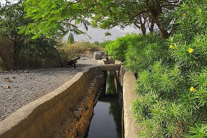
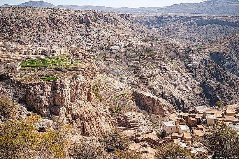
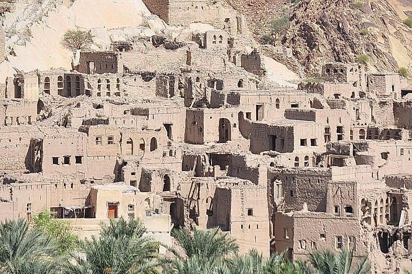
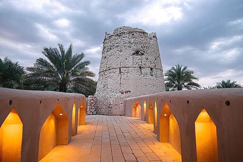
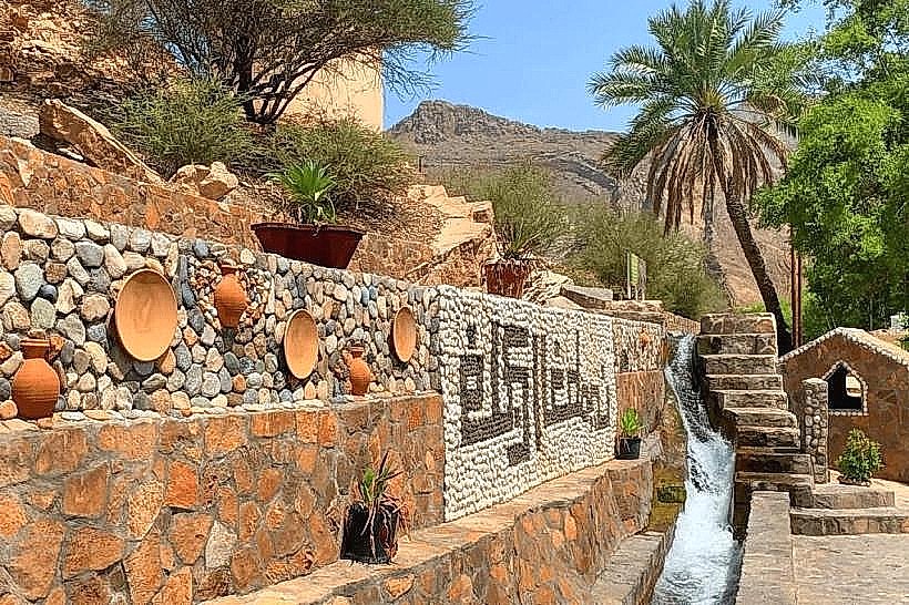
Wadi Kamah serves as a natural drainage channel for the central Hajar massif. Historically, it has supported small-scale agricultural communities that utilize seasonal water and small springs for date palm cultivation. The area is geologically part of the Arabian Platform, featuring sedimentary rock layers that are millions of years old.
Key Highlights & Activities
Off-Roading: The wadi provides a technical driving environment for 4WD enthusiasts seeking a less crowded alternative to neighboring Tanuf.
Hiking: The canyon floor offers a steady incline for hikers, leading toward higher mountain ridges.
Picnicking: During the winter months, the shaded sections of the canyon walls make it a frequent location for local residents to gather.
Infrastructure & Amenities
Infrastructure within the wadi is non-existent.
Services: There are no restrooms, shops, or facilities inside the canyon.
Proximity: Basic supplies and fuel are available in the nearby town of Kamah or in Nizwa.
Connectivity: 4G signal is stable at the wadi entrance but becomes highly unreliable as the canyon narrows and the walls increase in height.
Best Time to Visit
The optimal period is between November and March. Avoid the wadi during any forecast of rain, as the surrounding mountain slopes funnel water into the canyon, creating a high risk of rapid and life-threatening flash floods. For photography, midday provides the best light to penetrate the deep canyon floor, while late afternoon highlights the texture of the limestone cliffs.
Facts & Technical Details
Wadi Kamah is known locally for its specific limestone "pavement" formations-flat sections of rock polished smooth by centuries of water erosion. A technical detail for visitors is that the wadi floor rises significantly in elevation toward its headwaters, making it a challenging route for vehicles with low ground clearance.
Nearby Landmarks
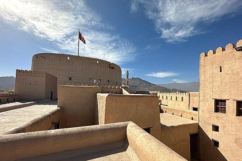
Nizwa Fort – 15km South-East
Wadi Tanuf – 8km East
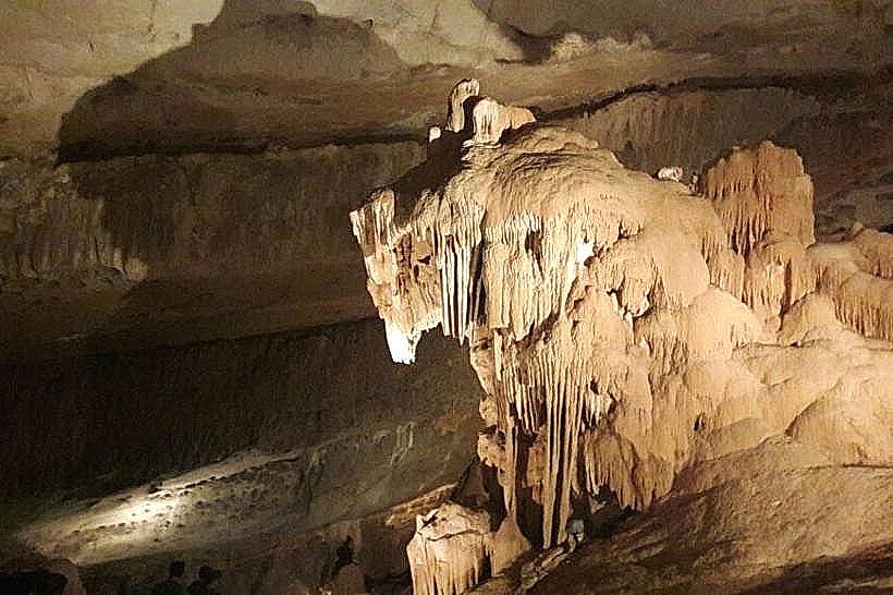
Al Hoota Cave – 12km West
Bahla Fort – 20km South-West
Falaj Daris – 12km South-East