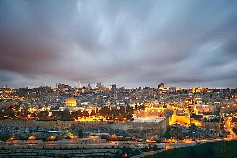
Landmark: West Jerusalem
City: Jerusalem
Country: Israel
Continent: Asia
West Jerusalem, Jerusalem, Israel, Asia
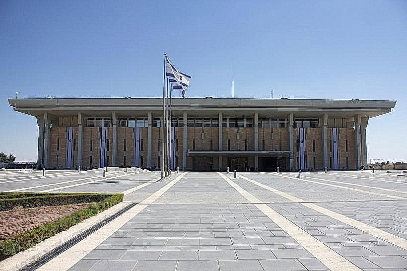
West Jerusalem is the modern administrative and commercial half of the city, developed primarily since the mid-19th century. It serves as the seat of Israel's government, containing the national parliament, supreme court, and various state ministries.
Visual Characteristics
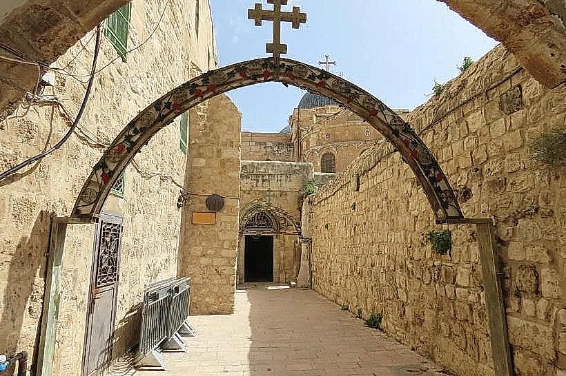
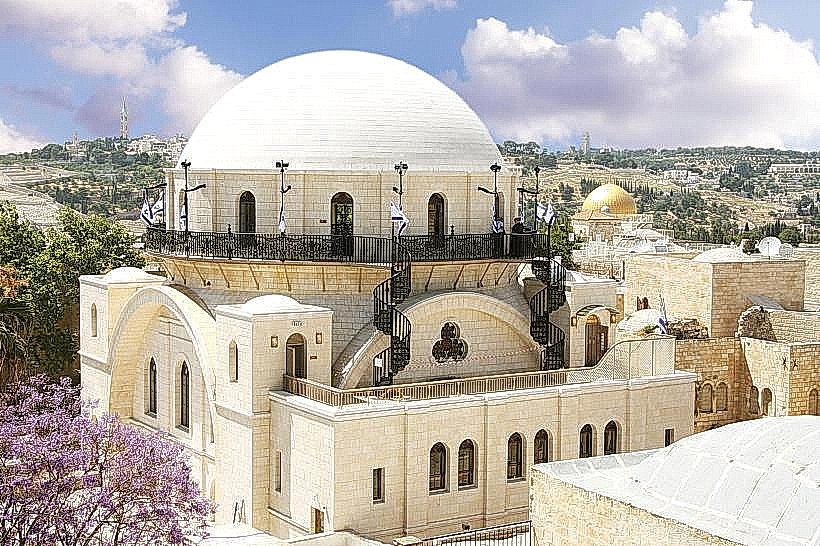
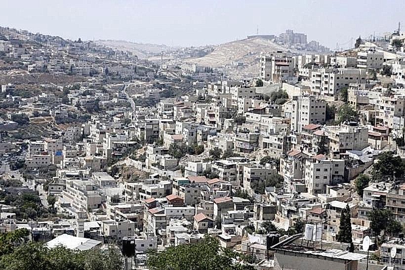
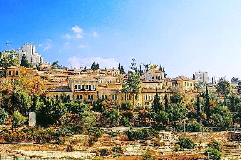
The district is characterized by a high-density urban core of Jerusalem limestone buildings, transitioning into low-rise residential neighborhoods and high-tech glass towers. Green belts and pine-forested ridges separate various districts, which are interconnected by wide boulevards and a light rail system. The architectural style ranges from Ottoman-era stone houses in neighborhoods like Nahalat Shiva to the modernist concrete and stone structures of the government precinct.
Location & Access Logistics
West Jerusalem is situated on the Judean Plateau, extending west from the Old City walls toward the coastal plain. It is the primary terminus for the Tel Aviv-Jerusalem high-speed railway, arriving at the Yitzhak Navon Station. The district is the hub for the Jerusalem Light Rail Red Line and hundreds of Egged bus routes converging at the Central Bus Station on Jaffa Road. Major vehicular access is provided via Highway 1 and Route 443.
Historical & Ecological Origin
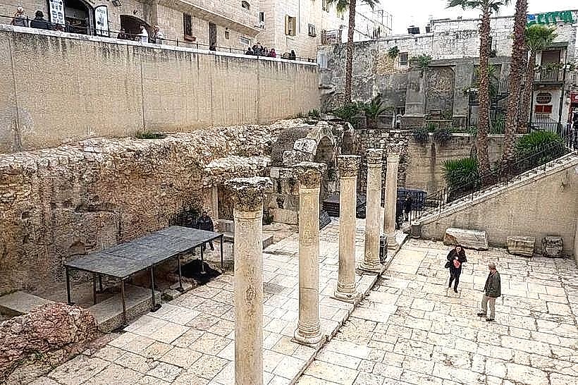
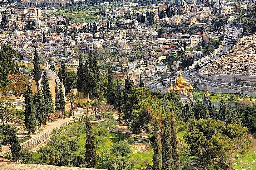
The expansion began in 1860 with the construction of Mishkenot Sha’ananim, the first Jewish neighborhood outside the Old City. Between 1948 and 1967, West Jerusalem served as the capital of Israel while separated from the eastern half by a fortified armistice line. Geologically, the area sits on Turonian and Cenomanian limestone, with the local flora consisting of planted Jerusalem pines, cypress trees, and indigenous Mediterranean scrub.
Key Highlights & Activities
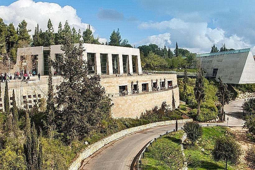
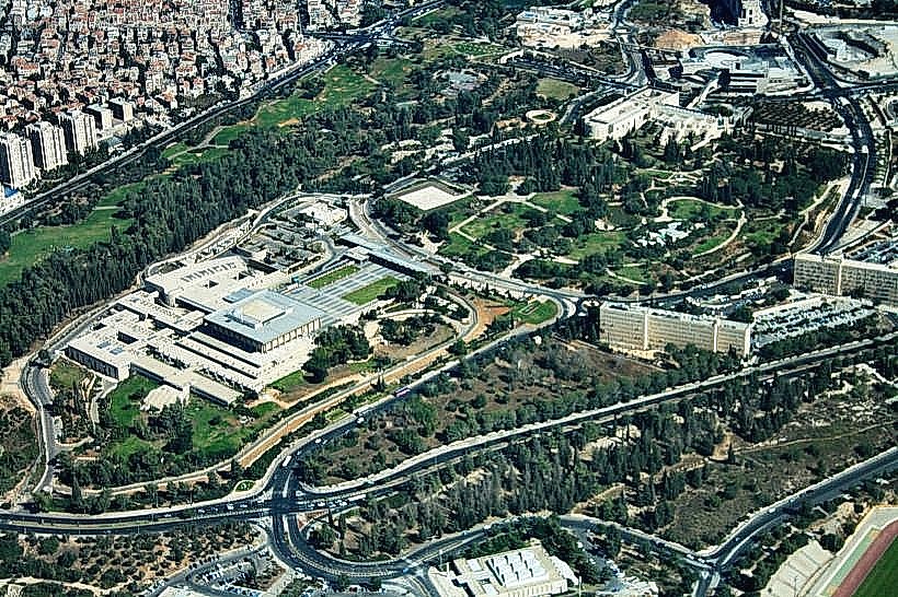
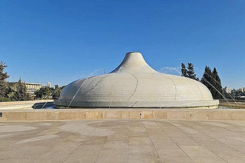
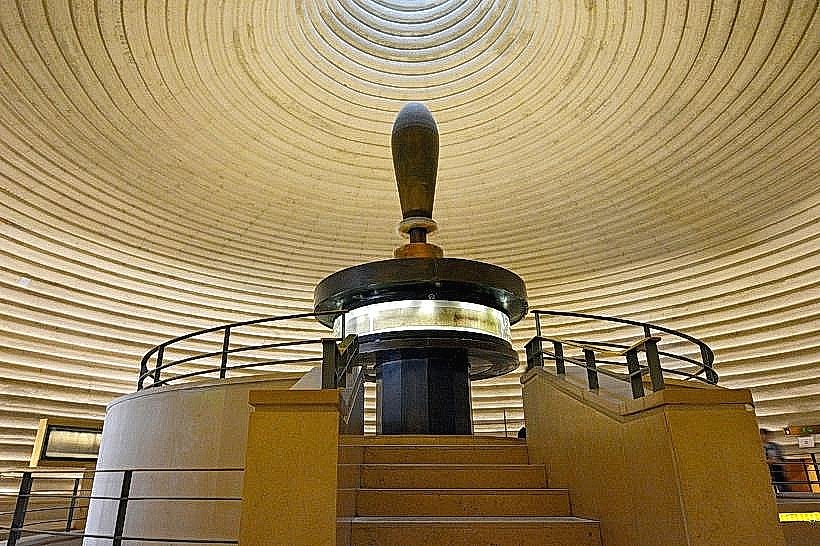
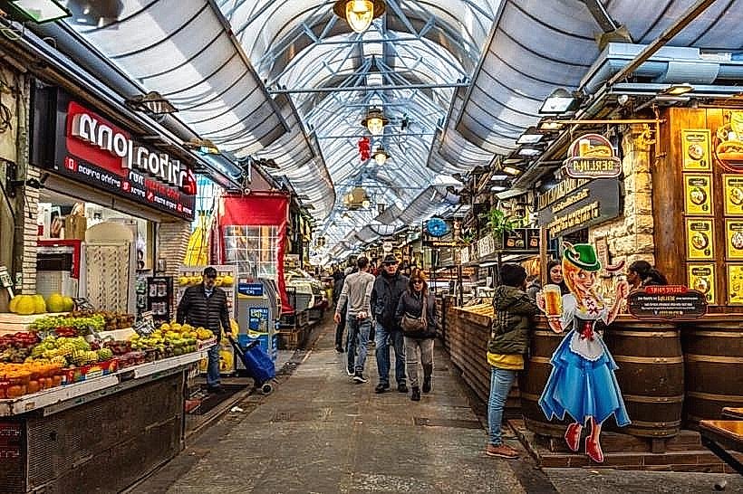
The district serves as the primary zone for retail and nightlife, centered around the Ben Yehuda pedestrian mall and the Mahane Yehuda Market. Cultural activities are concentrated in the Museum Row in Givat Ram, which includes the Israel Museum and the National Library. Visitors can traverse the various "Garden Neighborhoods" like Rehavia and Talbiya to observe early 20th-century international style architecture.
Infrastructure & Amenities
West Jerusalem contains the city’s highest concentration of infrastructure, including 5G cellular networks, fiber-optic internet, and multiple tertiary care hospitals such as Shaare Zedek. Public restrooms and shaded plazas are common in the city center and municipal parks. Large-scale parking is provided in underground lots beneath Mamilla, Safra Square, and the various commercial malls.
Best Time to Visit
The district is most active during weekday mornings for business and Thursday evenings for dining and nightlife. Most commercial activity and all public transport cease from Friday afternoon until Saturday evening for the Sabbath. Spring and autumn offer the most temperate weather for walking tours, while winter provides high-visibility conditions for panoramic views from the western ridges.
Facts & Legends
A unique feature of West Jerusalem is the "No-Man's Land" legacy; several modern parks and roads sit directly on the former 1948–1967 border, where ruins were cleared to create "The Seam" between the city's halves. A local tip for visitors is to explore the residential courtyards of the 19th-century "Neighborhoods of the Walls," which contain hidden water cisterns and communal ovens original to the city's first expansion.
Nearby Landmarks
Mahane Yehuda Market – 0.5km West of City Center
The Knesset – 2.2km West of Jaffa Gate
The Israel Museum – 2.5km Southwest of City Center
Independence Park – 0.4km West of Mamilla
Sacher Park – 1.2km West of King George Street