Landmark: Jebel Shams Balcony Walk
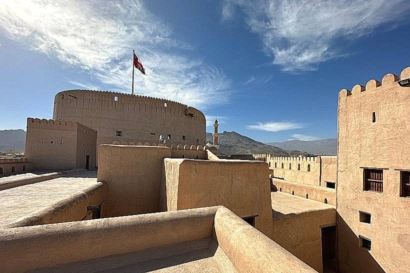
City: Nizwa
Country: Oman
Continent: Asia
Jebel Shams Balcony Walk, Nizwa, Oman, Asia
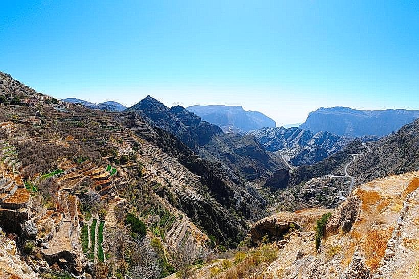
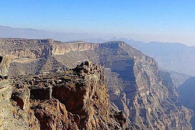
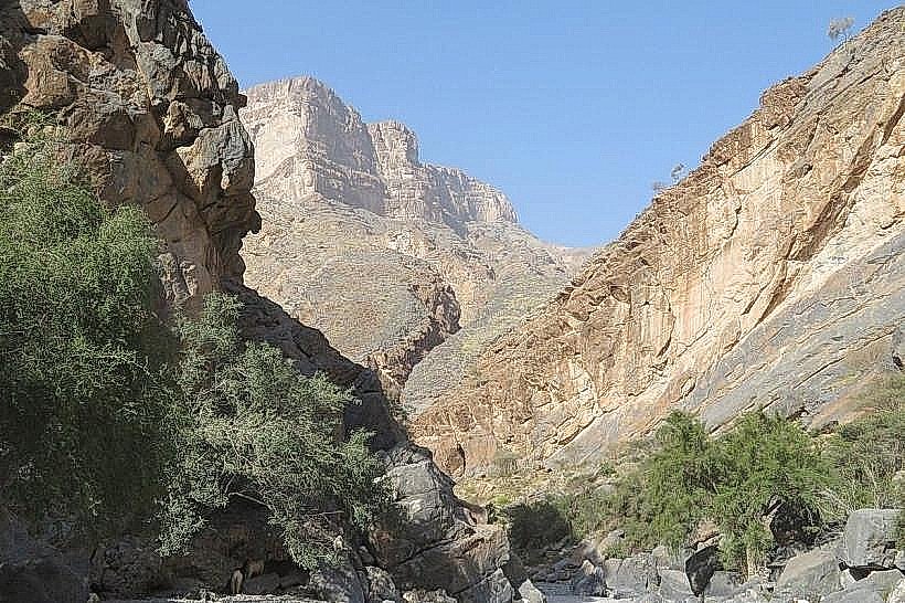
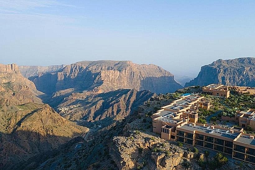
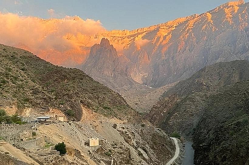
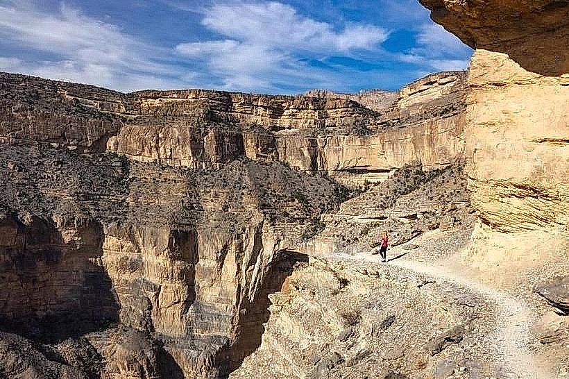
The Jebel Shams Balcony Walk (designated as the W6 Trail) is a high-altitude cliffside path situated on the western edge of the Jabal Shams plateau. It is widely considered one of the premier hiking experiences in the Middle East, offering a continuous view into the Wadi Ghul canyon, also known as the "Grand Canyon of Arabia."
Route Characteristics
The trail is a "ledge walk" that traverses a natural limestone shelf approximately 1,000 meters above the canyon floor and 1,000 meters below the mountain's summit.
Distance: Approximately 4km one way (8km round trip).
Duration: 3 to 4 hours total.
Terrain: Primarily flat with minor rocky inclines and declines. The path is well-marked with the standard yellow, white, and red flag system.
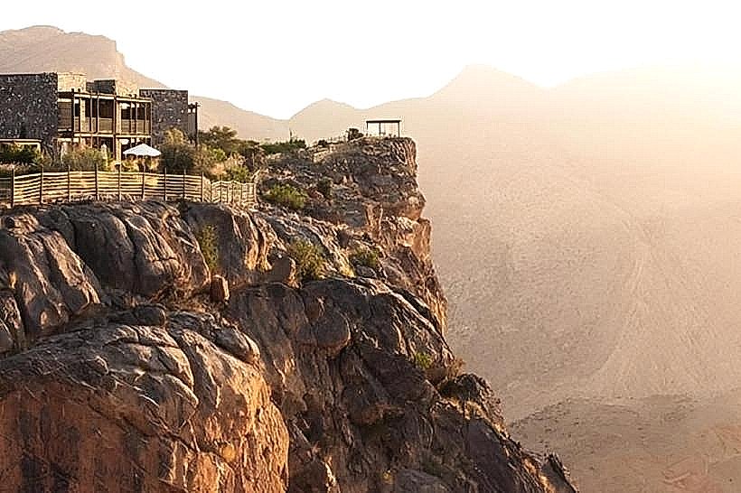
Exposure: While the path is wide enough for safety, there are significant vertical drops on one side. It is not recommended for individuals with severe acrophobia.
Location & Access Logistics
The trailhead is located in the village of Al Khitaym, at the end of the paved and graded road on Jabal Shams.
Access: Requires a 4WD vehicle for the final 7km ascent of Jabal Shams.
Parking: A designated dirt parking area is available at the entrance to Al Khitaym.
Transit: No public transport. Hikers must drive from Al Hamra or Nizwa.
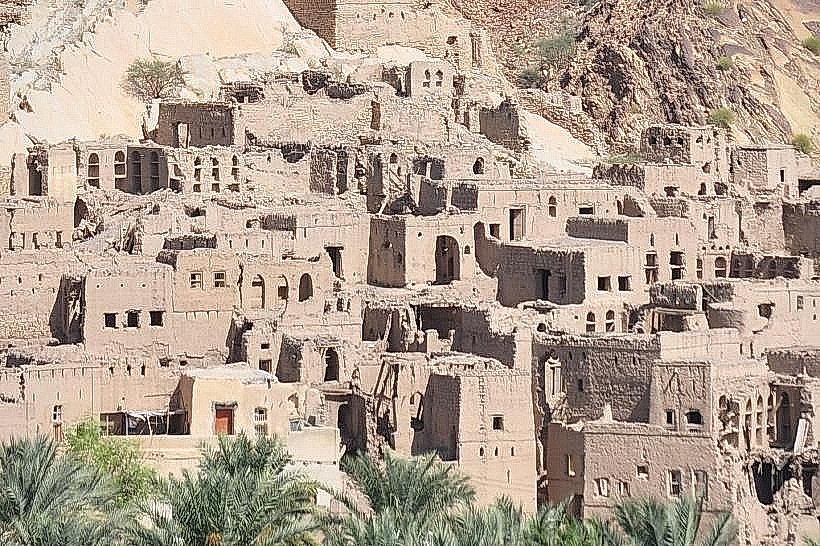
Historical & Ecological Origin
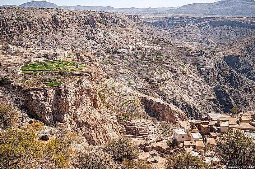
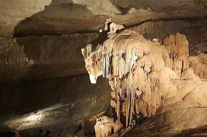
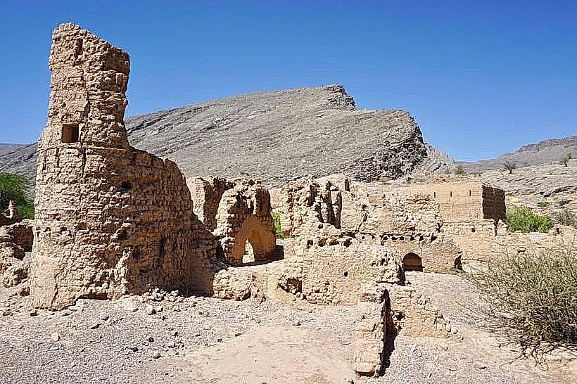
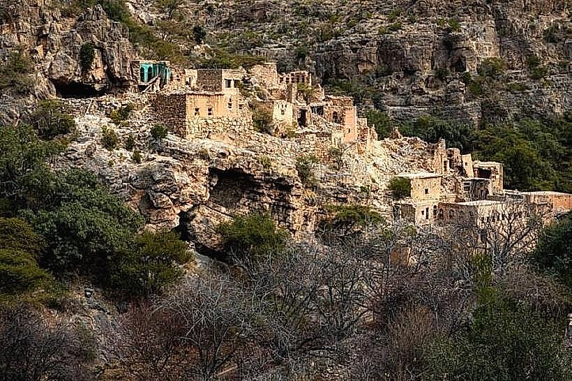
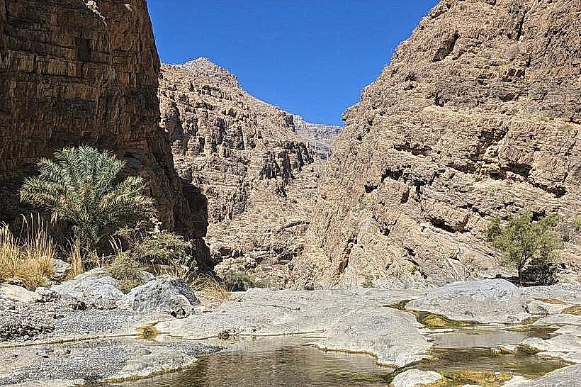
The trail was historically used by local villagers to move between seasonal settlements. It concludes at the abandoned village of As Sab (or Sab Bani Khamis). This village was built into the cliffside and utilized a nearby spring and stone-cut terraces to grow crops in isolation. The ecology of the route includes ancient juniper trees and provides a habitat for the Egyptian Vulture and the Arabian Tahr.
Key Highlights
As Sab Village: The ruins of stone houses and storage rooms are still visible at the end of the trail.
Hidden Lake: A steep climb (W6a) above the village leads to a seasonal mountain pool, though this requires high-level fitness and occasional scrambling.
Canyon Views: Continuous vertical perspective of Wadi Nakhr and the terraced fields 1km below.
Infrastructure & Amenities
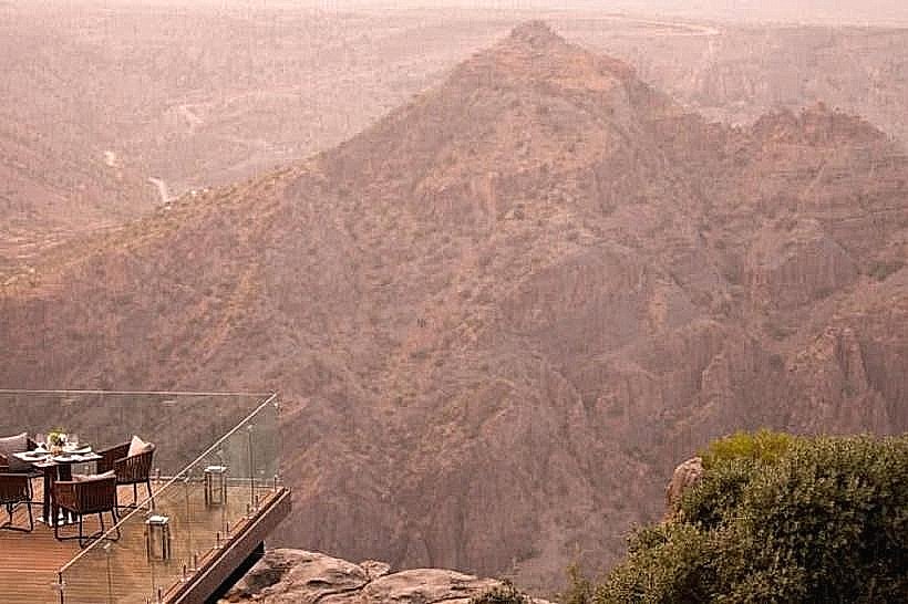
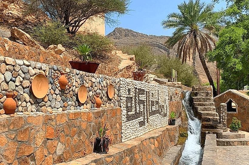
Facilities: There are no restrooms or water points along the trail. The last available facilities are at the resorts located 5km before the trailhead or in Al Hamra.
Connectivity: 4G signal is intermittent at the start and generally disappears once you round the first cliff edge.
Safety: No railings are present. High-friction hiking shoes are mandatory due to loose gravel and smooth limestone surfaces.
Best Time to Visit
The optimal window is from October to April. During these months, temperatures on the mountain range from 10°C to 22°C. In winter (December–February), temperatures can drop below 5°C. For photography, early morning provides the clearest views, while late afternoon offers the best light to highlight the canyon's geological layers.
Facts & Technical Details
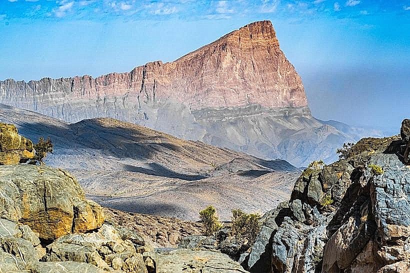
The trail sits at an average elevation of 1,900 meters. A technical "secret" of the route is the presence of ancient marine fossils embedded in the limestone walls right at eye level, confirming that this 2,000-meter peak was once the floor of the Tethys Ocean.
Nearby Landmarks
Jabal Shams Summit – 5.0km North (Visual only)
Wadi Ghul Viewpoint – 4.0km South-East
Misfat Al Abriyeen – 28km South-East
Al Hamra – 35km South-East