Landmark: Jerusalem City Center
City: Jerusalem
Country: Israel
Continent: Asia
Jerusalem City Center, Jerusalem, Israel, Asia
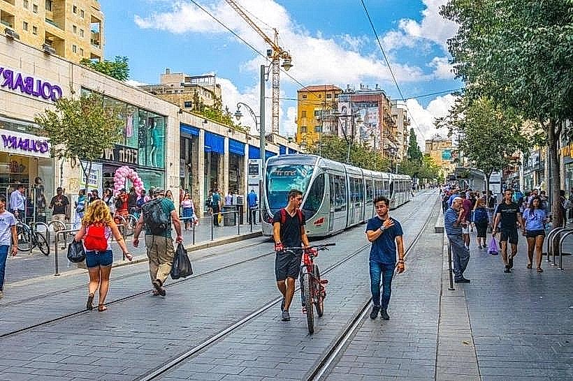
The Jerusalem City Center is the primary commercial and cultural district situated at the intersection of Jaffa Road and King George Street. This urban hub encompasses the historic Triangle District and the Zion Square pedestrian zone, serving as the city’s central point for retail, transit, and civic life.
Visual Characteristics
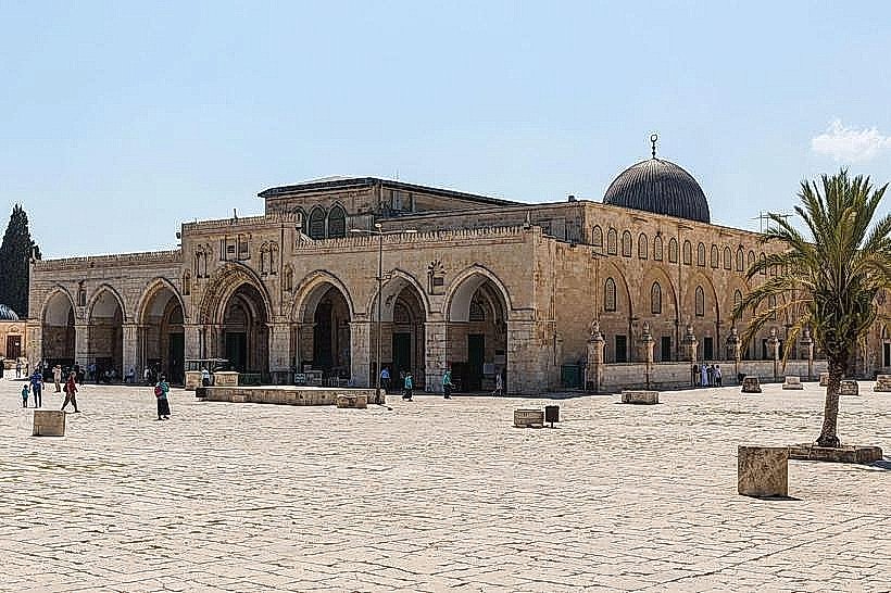
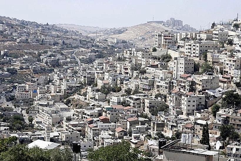
The area is defined by the extensive use of Jerusalem limestone in facades ranging from 19th-century Ottoman architecture to modern multi-story commercial blocks. The streetscape is dominated by the light rail tracks running down the center of Jaffa Road, bordered by wide granite-paved sidewalks. Building heights generally range from three to eight stories, featuring wrought-iron balconies and arched window frames typical of the British Mandate and late Ottoman eras.
Location & Access Logistics
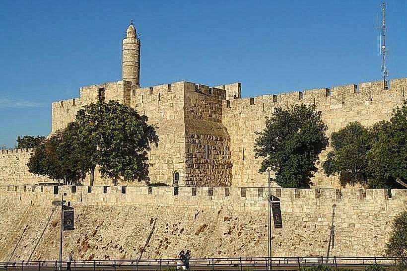
The City Center is located approximately 1 kilometer west of the Old City’s New Gate. It is a primary transit node serviced by the L1 Red Line of the Jerusalem Light Rail, with major stops at Jaffa-Center and City Hall. Numerous Egged bus lines (including the 7, 13, and 18) converge at the intersection of King George and Jaffa Road. Parking is restricted to underground lots such as those at Mamilla or the Safra Square municipal complex.
Historical & Ecological Origin
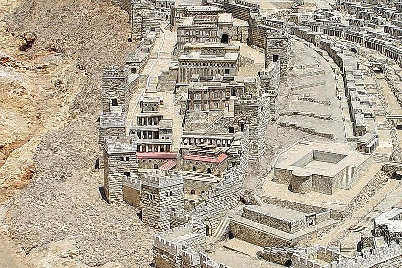
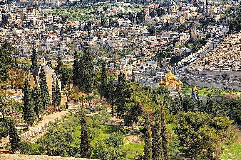
The district began expanding outside the Old City walls in the late 19th century as part of the "New City" development. The core layout was formalised during the British Mandate period (1917–1948) as a commercial "Triangle" to support the growing administrative population. Geologically, the foundation consists of the same Turonian limestone (Meleke) used for the surrounding buildings, situated on a high plateau that slopes toward the Kidron Valley.
Key Highlights & Activities
The district is primarily a pedestrian zone intended for retail and administrative navigation. Visitors can transit through Zion Square to reach the Ben Yehuda pedestrian mall for dining and commerce. Historical walking tours frequently utilize the area to showcase 19th-century architecture, including the Ticho House and the Italian Hospital. The nearby Nahalat Shiva neighborhood offers narrow stone alleyways containing specialized craft shops.
Infrastructure & Amenities
The City Center features high-density infrastructure with universal 5G cellular coverage and fiber-optic connectivity. Public restrooms are available in the Safra Square municipal complex and within the Hamashbir department store. The area is heavily patrolled by municipal security and contains numerous pharmacies, currency exchanges, and automated teller machines. Shade is provided by stone colonnades and seasonal canvas awnings over pedestrian streets.
Best Time to Visit
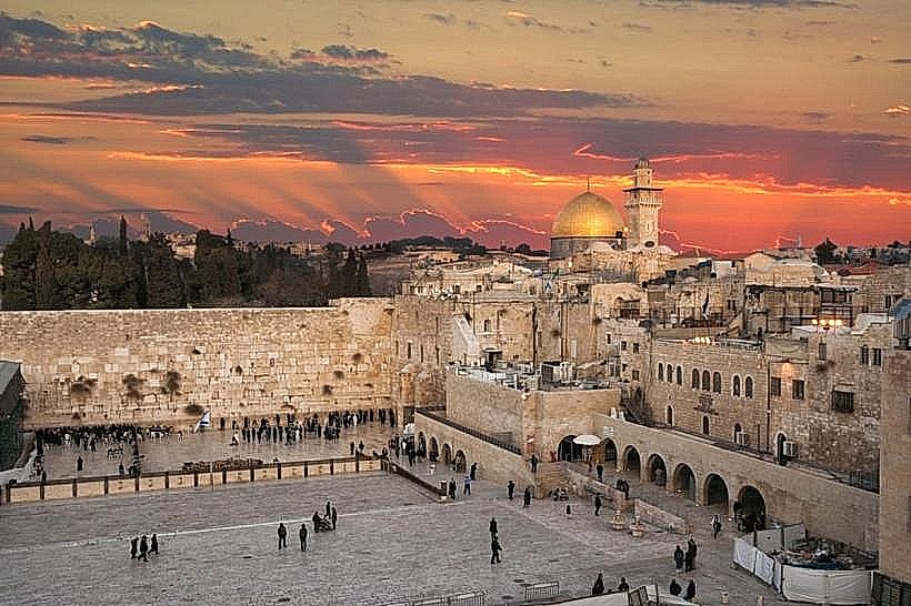
Daytime hours (10:00–18:00) are optimal for retail and logistical tasks. For photography, the "Golden Hour" shortly before sunset highlights the texture of the limestone facades along Jaffa Road. Thursday nights see peak activity levels, while Friday afternoons mark a total cessation of public transport and most commercial activity due to the Sabbath, which resumes on Saturday night.
Facts & Legends
A distinctive feature of the district is the "Lion of Jerusalem" sculptures found on various buildings, most notably the 19th-century Generali Building, which features a large stone lion on its rooftop. Local legend and historical record note that the area was a "no-man's land" near the border between 1948 and 1967, and many buildings still bear shrapnel scars from the conflict.
Nearby Landmarks
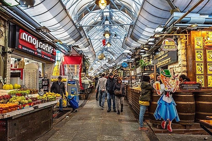
Mahane Yehuda Market – 0.8km West
Mamilla Mall – 0.6km East
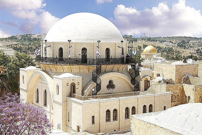
Great Synagogue – 0.5km South
Museum of Psalms – 0.3km North
Italian Hospital – 0.4km Northwest