Landmark: Ramat Eshkol
City: Jerusalem
Country: Israel
Continent: Asia
Ramat Eshkol, Jerusalem, Israel, Asia
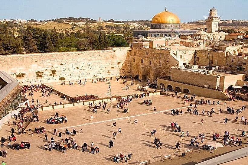
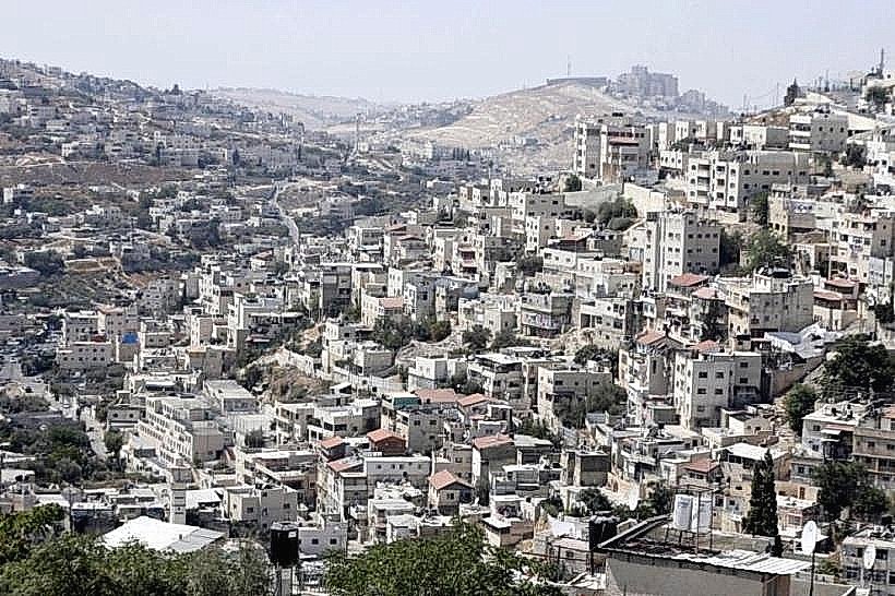
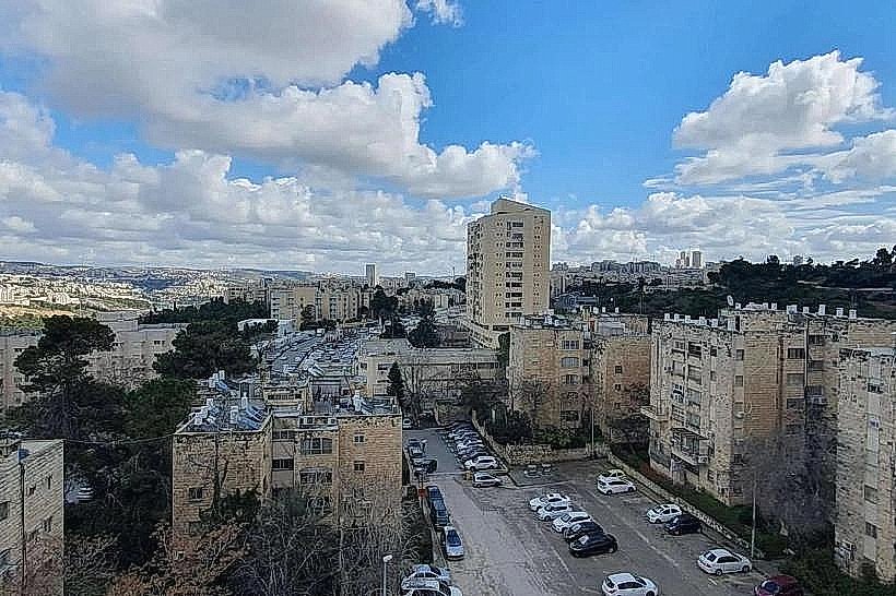
Ramat Eshkol is a residential neighborhood in northern Jerusalem, established as the first Jewish district built over the former Green Line following the 1967 war. It serves as a central link between the city center and the northern suburbs, primarily housing a Haredi (Ultra-Orthodox) population.
Visual Characteristics
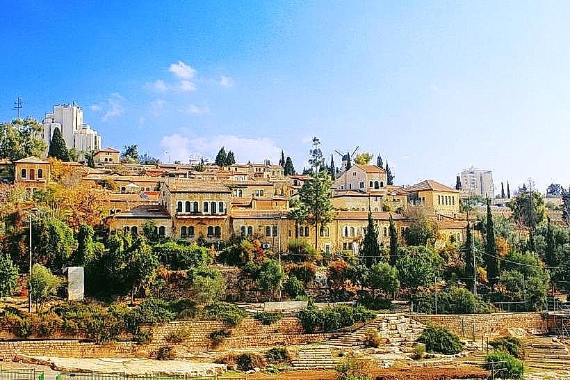
The neighborhood is defined by "Ramat Eshkol-style" architecture, featuring low-rise, four-story apartment blocks faced with smooth-cut Jerusalem limestone. The urban layout is characterized by wide boulevards, landscaped traffic circles, and significant green belts. Building facades often include recessed balconies and arched windows, reflecting the modernist-traditionalist fusion of late-1960s Israeli planning.
Location & Access Logistics
Ramat Eshkol is situated approximately 3 kilometers north of the Old City. It is bordered by the Ammunition Hill site to the east and the Sanhedria neighborhood to the west. The district is a major transit node, serviced by the Jerusalem Light Rail (Ammunition Hill and Givat HaMivtar stations) and numerous bus lines including the 68, 77, and 59. Highway 1 (Sderot Haim Bar-Lev) provides direct vehicular access.
Historical & Ecological Origin
Construction began in 1968 on a strategic limestone ridge that previously served as a Jordanian military stronghold. The neighborhood was named after Levi Eshkol, Israel's third Prime Minister. Geologically, the area sits on the watershed divide of the Judean Hills, with eastern slopes descending toward the Judean Desert and western slopes toward the Mediterranean.
Key Highlights & Activities
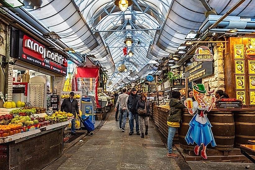
The neighborhood contains a large central commercial center (Ramat Eshkol Shopping Center) featuring specialized kosher retailers and bakeries. Outdoor activities are centered in the various public parks and the adjacent Ammunition Hill memorial site. The "Paran" main street serves as the primary pedestrian thoroughfare for local commerce and communal gatherings.
Infrastructure & Amenities
The district features high-density urban infrastructure, including multiple synagogues, yeshivas, and ritual baths (mikva'ot). 5G cellular coverage is universal throughout the neighborhood. Public restrooms are available in the commercial center and at the Ammunition Hill site. Shade is abundant along the tree-lined boulevards and within the central neighborhood parks.
Best Time to Visit
The neighborhood is best visited on weekday mornings for local commerce or late afternoon for residential atmosphere. Due to the religious nature of the population, the district experiences a total cessation of public transport and commercial activity from Friday afternoon until Saturday night. Photography is optimal in the late afternoon when the sun highlights the limestone facades of the uniform housing blocks.
Facts & Legends
A unique feature of Ramat Eshkol is the "Sanhedria Tombs" located on its western edge, an ancient necropolis from the Second Temple period featuring elaborate rock-cut facades. Local history notes that the neighborhood was specifically designed with wide spaces and gardens to contrast with the cramped conditions of the Old City and older Jerusalem districts.
Nearby Landmarks
Ammunition Hill – 0.4km East
Sanhedria Cemetery – 0.6km West
Givat HaMivtar – 0.5km North
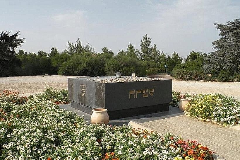
Shimon HaTzadik Tomb – 1.1km Southeast
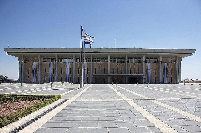
Hebrew University (Mount Scopus) – 1.8km East