Landmark: South Jerusalem
City: Jerusalem
Country: Israel
Continent: Asia
South Jerusalem, Jerusalem, Israel, Asia
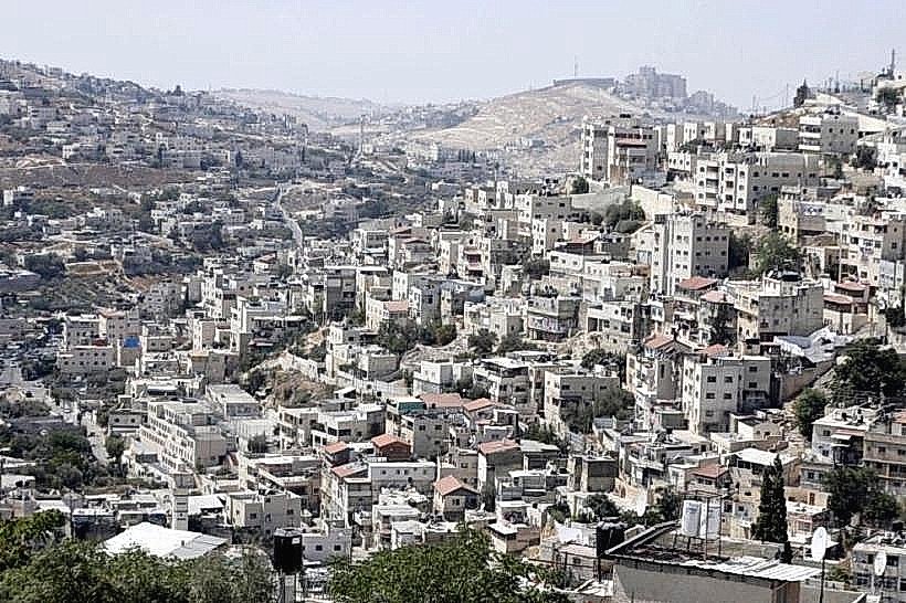
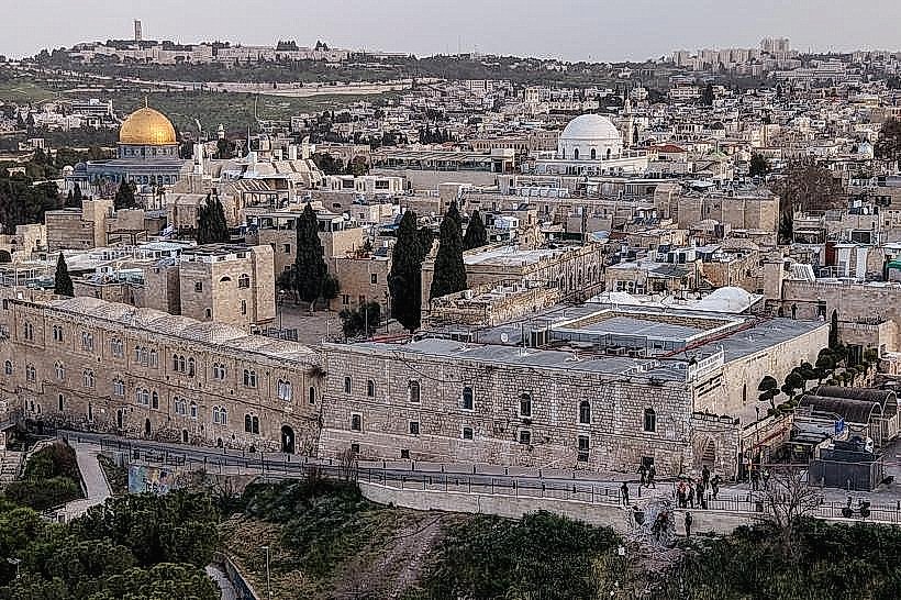
South Jerusalem is a collection of diverse residential and historical neighborhoods extending from the edge of the Old City toward the Judean Hills. This sector is characterized by a blend of 19th-century "colony" architecture, modern commercial hubs, and extensive green belts.
Visual Characteristics
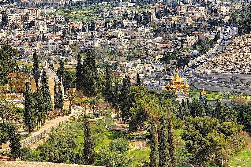
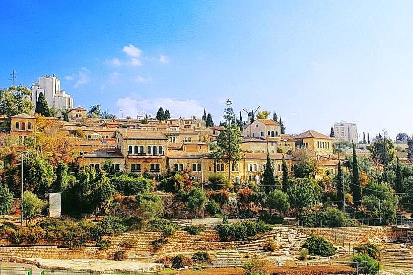
The region features a varied architectural landscape, from the red-tiled roofs and pine-lined streets of the German Colony to the mid-century stone apartment blocks of Katamon. The southern perimeter is defined by the Sherover-Haas Promenade, offering expansive views of the Kidron Valley and the Judean Desert. Many buildings exhibit the traditional Jerusalem stone facing required by municipal law, often in a mix of "tubzeh" (rough-cut) and "musamsam" (combed) finishes.
Location & Access Logistics
South Jerusalem begins at the Hinnom Valley and extends south through neighborhoods like Baka, Talpiot, and Gilo. It is primarily served by Hebron Road, a major north-south artery. Public transport includes numerous bus lines (7, 18, 71, 72, 74, 75) connecting to the City Center. The First Station serves as a pedestrian and cultural anchor at the northern edge, marking the start of the Train Track Park.
Historical & Ecological Origin
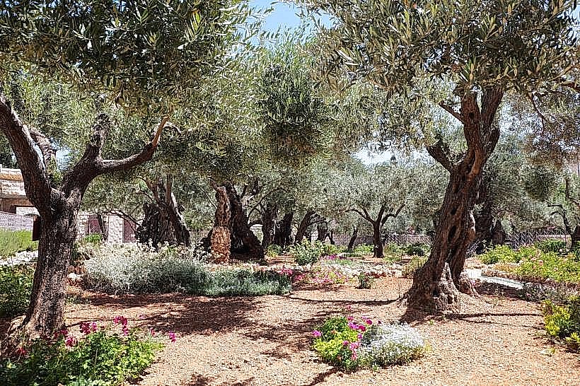
The area saw significant expansion in the late 19th and early 20th centuries, starting with the establishment of the German Colony by the Templers in 1873. Geologically, South Jerusalem sits on a series of ridges composed of hard limestone. It contains the historical Refaim Valley, which served as a fertile agricultural plain and a strategic approach to the city in antiquity.
Key Highlights & Activities
Emek Refaim Street serves as the primary boutique and dining thoroughfare. The Train Track Park is a 7-kilometer linear park built on the Ottoman-era railway line, used extensively for cycling and walking. The Talpiot Industrial Zone has evolved into a major nightlife and retail destination, featuring large shopping malls and live music venues. Gazelle Valley Park, located on the western edge of the sector, is a large urban wildlife preserve home to a herd of mountain gazelles.
Infrastructure & Amenities
South Jerusalem hosts several community health centers and is home to the Misgav Ladach Hospital. 5G cellular coverage is consistent throughout the residential zones. Public restrooms and shaded rest areas are concentrated along the Train Track Park and within Liberty Bell Park. Large-scale parking is available at the First Station lot and various Talpiot commercial centers.
Best Time to Visit
The district is most active during weekday evenings and Friday mornings. The Train Track Park is best experienced in the late afternoon for recreational activity. Most commercial businesses close for the Sabbath on Friday afternoon; however, the pedestrian parks remain accessible. Spring and autumn are the optimal seasons for visiting the various outdoor promenades to avoid high summer temperatures.
Facts & Legends
A unique feature is the Caspi Street lookout, which provides a view of the "Secret Garden" of the United Nations Headquarters (Armon HaNetziv). A local historical oddity is the Hansen House, a former leper asylum established in 1887 that has been converted into a design and technology center, preserving its original hospital gardens and stone walls.
Nearby Landmarks
The First Station – 0.5km North of Baka
Sherover Promenade – 1.2km East of Talpiot
Teddy Stadium – 2.0km West of Gilo
Gazelle Valley Park – 1.5km West of Katamon
Ramat Rachel – 0.8km South of Talpiot